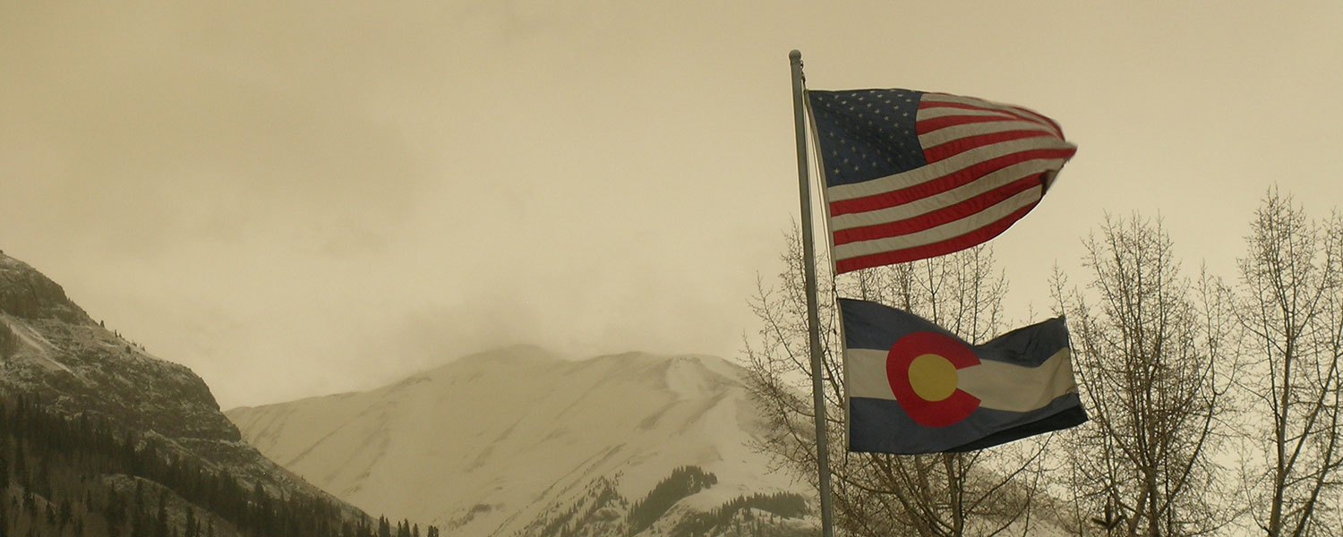
Snowy greetings from Silverton on Thursday morning, March 27, where we have some 10-12" of new snow and a substantial layer of new dust blanketing town. This is dust-on-snow event D3-WY2014; a wind rose for the event is posted with our Dust Log.
The predicted dust storms mentioned in yesterday's email did materialize in the Colorado Plateau by mid-day. A 'live report' from a Silverton friend visiting Bluff described blinding dust and zero visibility by noon. Mid-afternoon photos from the USGS's Abajo Peak and Mesa Verde webcams showed building dust-in-air entrained in squally weather. Another report had dust in Cortez shortly thereafter. We also heard reports of 'raining mud' from Pagosa Springs and Montrose.
We began to observe dust in the air and within snow squall clouds at around 5 PM. We'd had several inches of clean appearing snow by then but within an hour the town appeared to have been spray painted pink. Unfortunately, the light was rather poor so our photos around town do not do this transformation justice. However, CSAS field assistant Andrew Temple did capture the same effect at nearby Molas Pass, showing the vivid coral pink dust color at the snow surface.
We will be collecting samples of this D3 dust, and photos of the dust layer in-situ, at Swamp Angel Study Plot either later today (after avalanche control on Red Mountain Pass) or tomorrow. We've advanced our tour of all CODOS sites to begin tomorrow, returning to Silverton by Monday or Tuesday and then issuing a complete set of site-specific Updates later that week. This D3 event is very likely to be spatially extensive and we will verify whether it, and events D2 and D1, are present or absent at all ten sites.
More soon,
Chris


