

CODOS UPDATE April 17: Observations at Front RAnge Sites
Greetings from Silverton,
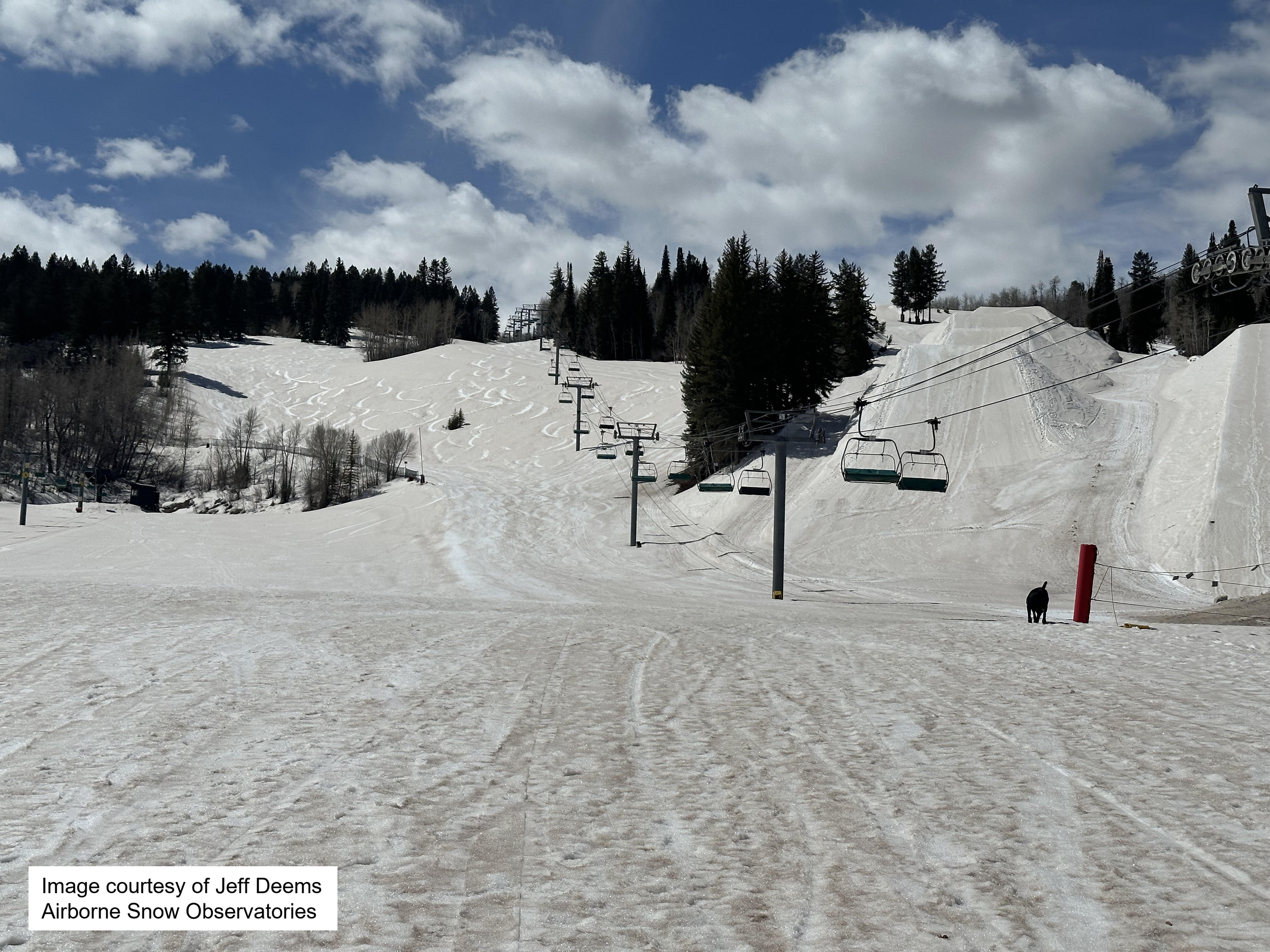
The impact of the widespread dust event that occurred April 3 has come into focus. The event covered the vast majority of the Colorado mountains we have confirmed after completing half of the CODOS tour and viewing photos submitted by citizen scientists. It’s amazing to see how one event turned the snowmelt season on it’s head. And another anomaly, where we would expect the dust to be more severe, it wasn’t, and where we might expect it to be minimal, it wasn’t. I’m thinking about the dust deposited at our Senator Beck Study Basin at Red Mt Pass was not that bad (solidly in the “average” category if I had to classify), usually the San Juans are the hardest hit. But this event is really bad in the Dolores, Roaring Fork, Gunnison, Grand Mesa. Also surprisingly, it is very distinct at Willow Creek, a location just south of North Park that usually receives less dust. At Hoosier Pass dust is not apparent but likely present to a small degree. On April 14 the CODOS crew visited our Front Range sites; Hoosier Pass, Loveland Pass, Berthoud Pass, and Willow Creek. Unfortunately it was a snowy day so landscape pictures don’t capture the near surface dust as it was covered by a few inches of snow. The statewide snowfall last week was a good thing as it slowed snowmelt, however temporary. At all locations we observed the dust on/near surface - essentially on a snowpack statewide that is at peak accumulation. Please see photos and further discussion below. Also, to potentially see more photos of your area of interest, visit the CAIC’s field report webpage. This year is slightly different for CSAS, normally we would track the multiple dust layers in the snowpack as they coalesce at the surface as spring melt progresses, exerting a greater and greater influence on snowmelt. This season the problem is already at/near surface and there is not much underneath but for a relatively mild dust layer.
Check out the Aspen Daily News article on the ASO campaign in the Roaring Fork (includes a great aerial photo) as well as our thoughts about current dust conditions.
We will visit the remaining CODOS site this week, more soon.
Take Care,
Jeff Derry
Below: MODIS image on April 10 that illustrates the dust-on-snow “hotspots”. Dust may be just under surface at some locations. The next slide shows how much snow fell over a few days last week, providing a temporary albedo reset, stream gages show a retreat after the big warm up and dust radiative forcing last week.


Hoosier Pass: Minimal, if any dust was observed at Hoosier sample site, but judging by the trajectory and intensity of the April 3 event, one would think a bit made it’s way to this locale. Snow profile SWE measurement yielded 16.1”. SNOTEL reported 12.3” SWE. Hoosier SNOTEL has underperformed this year, currently it is around 81% of median. See field form.


Loveland Pass: Dust is at/near surface in the Loveland Pass area. It is not strikingly bad, but noticeable and enough to influence snowmelt rates. Snow profile SWE was 16”, while at Grizzly SNOTEL 17” was being reported. Snowpack temperature is right around -0.2 C. See field form.


Berthoud Pass: Berthoud Pass had more severe dust than Hoosier and Loveland, it appears there is a bit of a south-north gradient of dust severity for this region, lighter south and more severe northwards. Snow profile SWE gave us 18.8”, Berthoud SNOTEL about 100’ away was reporting 18.6” SWE. Snowpack temperature was about -0.1C. See field form.
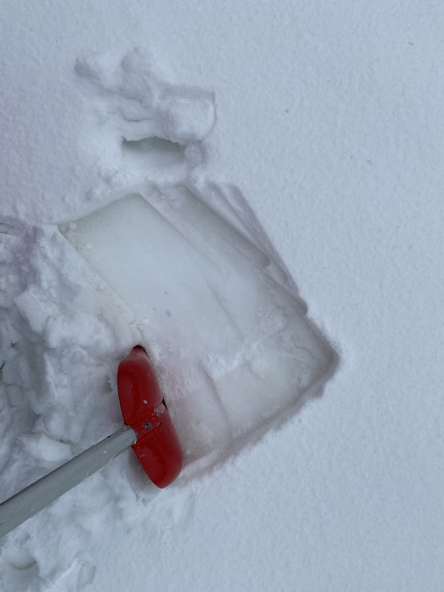
Willow Creek: There is a lot of snow at Willow Creek. Willow never gets anywhere close to the snowpack at Berthoud, but this year they are very close to each other, 18.3” SWE at Willow vs 18.8” at Berthoud. Nearby Willow SNOTEL was reporting 18.2” SWE. As mentioned above, Willow Creek and the surrounding region has a pretty strong dust layer. It extends all the way over to Steamboat. See field form.
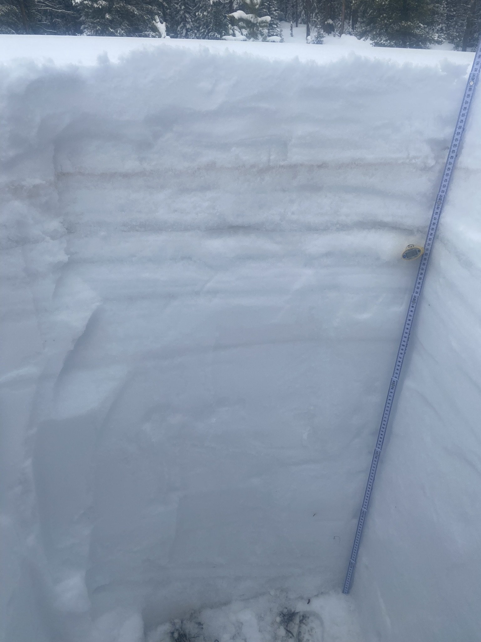


Rabbit Ears Pass: Rabbit Ears Pass was visited on April 10. The April 3 dust event is very distinct. It is clearly going to be a significant influence on snowmelt rates the remainder of the season. Rabbit Ears SNOTEL reported 30.1” on April 10, while snow profile SWE was 37.5”. Snowpack temperature was around -4C.
Thanks to Steven Fassnacht and his Colorado State University field class for these snow profile observations. Well done.

