
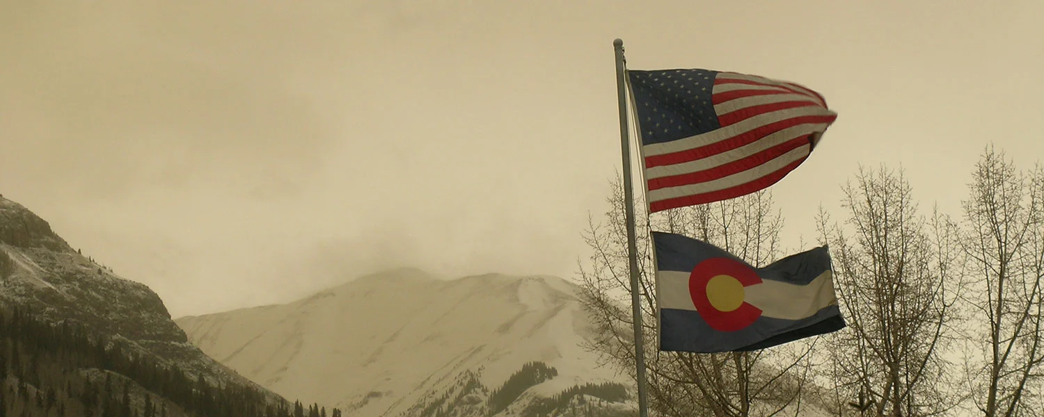
Greetings from Silverton,
Winter storm #22 is now at its end and it was evident at the onset of the storm that this precipitation was accompanied by our third dust event of the season.
D3 was a “wet” event (occurring with precipitation) that began March 30th at 1500 and lasted 15 hours, ending at 0500 on March 31st. The dust is pinkish-red in color was deposited in a very visible layer that is diffuse in the lower 2-3 cm of snow from winter storm #22. Winds during the event were largely from the south and southwest. This is our most visible dust event so far this season, and likely our largest by mass load as well.
Fortunately all of our dust layers are currently buried under our past few winter storm events, limiting their impact on snowmelt. As we approach peak SWE in our snowpack and move into a period of springtime snowpack loss we will be watching layers closely for their emergence and impact on the surface albedo of our hefty snowpack. The median date of peak SWE at the Red Mountain Pass Snotel site near our Swamp Angel Study Plot is April 24. Additionally, much of our snowpack at SASP is currently isothermal following the early and middle March drought period, with only the top 50 cm of newer snow from the past weeks’ storms staying significantly below freezing.
Because this last storm system split over Colorado it is hard to assess deposition beyond the Senator Beck Basin. CSAS will be conducting the second CODOS tour of the season beginning at the end of the week, when we will visit all of our dust on snow monitoring sites throughout the state over several days. This will help us assess the distribution of our three events this season, as well as help us keep tabs on ongoing changes in snowpack statewide. We will release another CODOS update following the tour.
More from Silverton soon.

