CODOS UPDATE December 9, 2024: Major Station Upgrades
Greetings from Silverton,
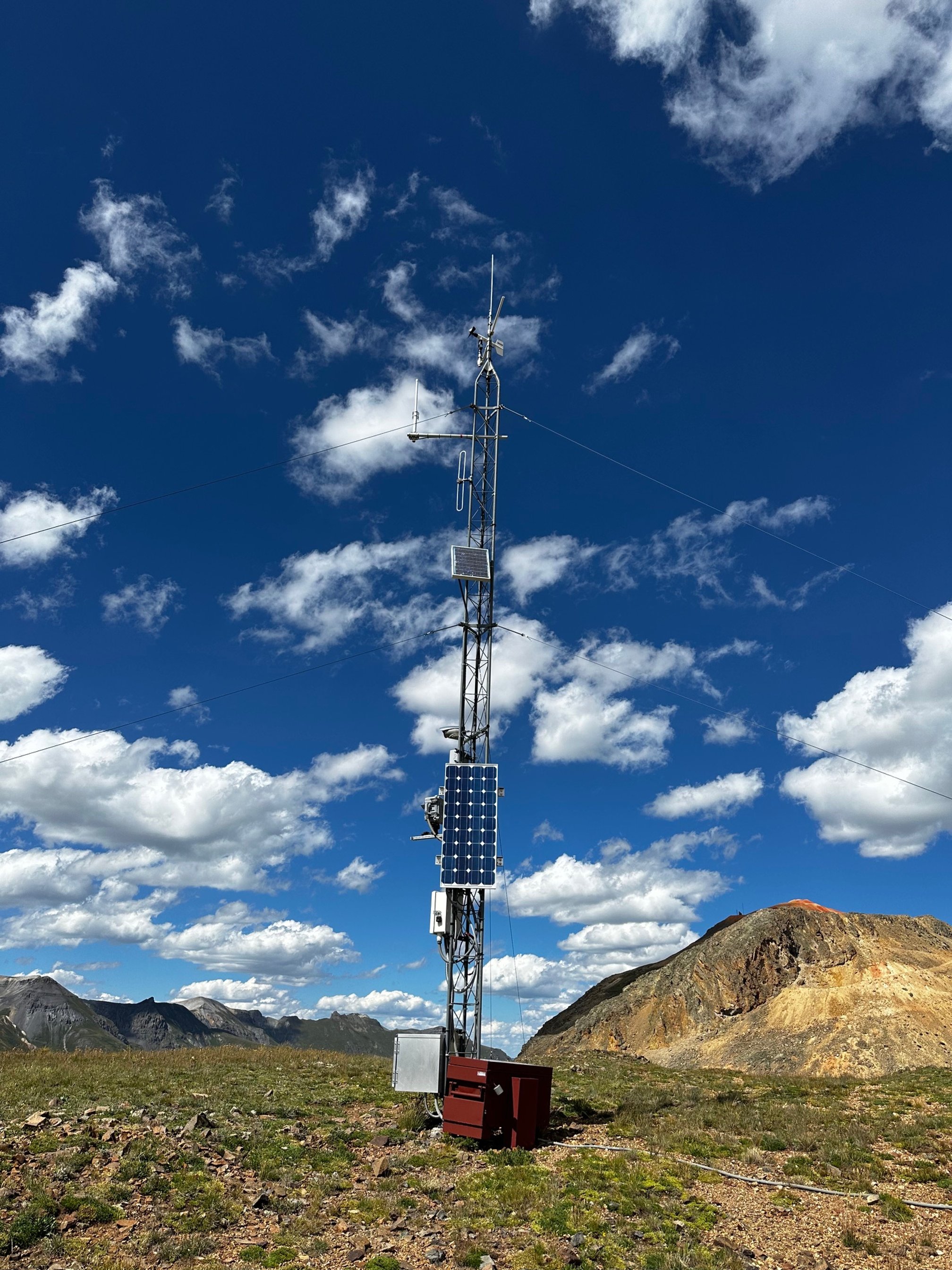
Soon after the snowpack melted last June the CSAS team has been immersed in the long process of upgrading our 5 stations in and around Senator Beck Study Basin. This upgrade is long overdue, so much so the manufacturer quit supporting our model of data loggers and radios a long time ago. For many years we have been saving our pennies for this very expensive upgrade, and really only until a generous researcher with the Cold Regions Research and Engineering Laboratory (CRREL) who provided a very large part of the funding did we finally have the means to make it happen.
The upgrade included new loggers, radios, replacing some sensors, keeping some sensors, and installing new sensors. One of the additions we are excited about is now there is a camera taking hourly images at Putney, Senator Beck Study Plot, and Swamp Angel. These hourly images will benefit researchers and water managers by showing when dust is at the surface of the snowpack, snow accumulation/ablation, and snow distribution patterns around Red Mt Pass. Additionally we hope these images will benefit emergency management, CDOT, aviation, and backcountry recreationalists, and folks just wanting to see what is happening in the mountains.
Our station data can be viewed at the Colorado Avalanche Information Center (CAIC) weather station page. More comprehensive data tables can be viewed on our snowstudies.org website, under current conditions. We are just now in the process of getting these data tables operational so please bear with us as we get the bugs out. This applies to the camera images too, as we are currently working on a stable download process to make the images available on our website. We will keep you updated.
Even though the majority of support for this upgrade came from CRREL, it would not have happened without the steadfast support of our long-term funders who have supported long-term monitoring, snowpack/climate research, and the Colorado Dust-on-Snow Program for over 22 years. A list of these organizations can be viewed on our donor page.
We also depend on support from individuals. If you care to make a donation to keep the data collection, management and reporting going, please go to our webpage on the Colorado Gives Foundation website. You can donate at any time, but Colorado Gives Day is December 10.
Take Care,
Jeff Derry
Below is a complete list of data collected at the stations:
Swamp Angel Station
· Upper wind speed and direction (6 m)
· Lower wind speed and direction (3.8 m)
· Upper air temperature and humidity (6 m)
· Lower air temperature humidity (3.4 m)
· Snow depth
· Precipitation (rain and snow), NOAA gauge
· Incoming broadband solar radiation
· Reflected broadband solar radiation
· Incoming near infrared to shortwave infrared
· Reflected near infrared to shortwave infrared
· Incoming longwave radiation
· Infrared snow surface temperature
· Snow temperature (vertical snow temperature at 10 cm increments)
· Barometric pressure
· Soil heat flux
· Soil temperature (surface, -10 cm, -20 cm, -40 cm)
· Soil volumetric water content (-10 cm)
· Soil temperature/volumetric water content (-5 cm, -10 cm, -20 cm, -30 cm, -40 cm, -50 cm)
· Precipitation (Manufacturer: Lufft WS100)
· Snow scale (to measure SWE)
· Camera
· AERONET
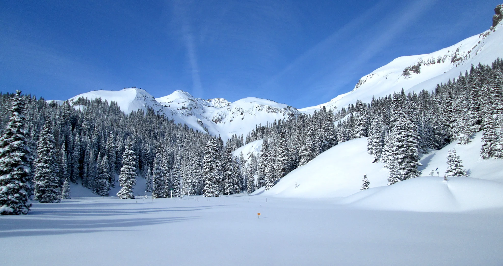
Above: Swamp Angel (11,060’). New snow scale is at bottom of picture.
Senator Beck Station
· Upper wind speed and direction (9.6 m)
· Lower wind speed and direction (4 m)
· Upper air temperature and humidity (8.7 m)
· Lower air temperature humidity (3.8 m)
· Snow depth
· Incoming broadband solar radiation
· Reflected broadband solar radiation
· Incoming near infrared to shortwave infrared
· Reflected near infrared to shortwave infrared
· Incoming longwave radiation
· Infrared snow surface temperature
· Snow temperature (vertical snow temperature at 10 cm increments)
· Soil heat flux
· Soil temperature (surface, -10 cm, -20 cm, -40 cm)
· Soil volumetric water content (-10 cm)
· Soil temperature/volumetric water content (-5 cm, -10 cm, -20 cm, -30 cm, -40 cm, -50 cm)
· Camera
Above: Senator Beck (12,200’)
Putney Station
· Wind speed and direction (9.5 m)
· Air temperature and humidity (3.1 m)
· Camera
Above: Putney (12,230’)
Senator Beck Stream Gauge
· Pressure Transducer (for height of water and discharge)
· Water temperature and electrical conductivity
Saint Paul Base Station
Remember, Snow School for Water Professionals: We are really excited to offer Snow School for Water Professionals for another winter season. This year the class will be held February 19 - 21, 2025. The combination classroom and field course will begin on Wednesday morning at our office in Silverton and end on Friday afternoon (2.5 days). The class is perfect for anyone wanting to learn more about the role of snow and our mountain environments as it pertains to water resources, designed to enhance understanding of snowpack processes, snow monitoring and data. Click here to download flyer, please circulate in your workplace forward announcement to folks you think might be interested. You can pay with credit card at snowstudies.org. Please do not hesitate to contact me with questions.


