CODOS & Storm Update: 3" Precip & Big Dose of Dust
Greetings from Silverton,
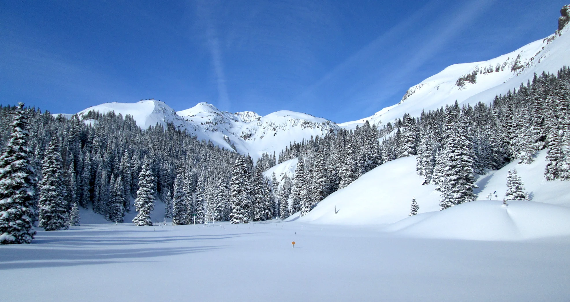
It was great to see winter return after taking essentially a 7 week hiatus. And return it did, a storm that came in two waves in some regions amounted to a four day storm in the San Juan Mts. Here at Senator Beck it began Monday afternoon and dissipated Thursday mid-morning. The storm resulted in 3" precipitation at Swamp Angel (11,060') as 28" snow accumulation. See Storm #6 Report for details.
The wind was active during the entire 4-day event with wind gusts reaching 71 mph at our Putney station. Snow getting blown around added to already dangerous avalanche conditions. Highway 550 has been closed since Tuesday night. If you go out stay informed, know before you go.
The storm was ushered in by a heavy dust event that appears to have a large spatial extent. GOES satellite imagery shows the dust originated in Northern Arizona and carried straight to Southwest Colorado and continued east to include the Rio Grande and at least as far north as Eagle County (where a nasty dust layer was observed). Photos of the dust are below. If you have a dust photo you would like to share please send via the CODOS website. Satellite imagery also hints at possibly more dust being mobilized on Wednesday when this system was making a tight turn in the Southwest towards Colorado. We will see when the road opens and we assess the event(s).
Keep an eye out, next week we will post our March 1st assessment of snowpack and dust conditions and offer potential scenarios of how spring will unfold.
Come, let's go
snow-viewing
til we're buried
Basho
Take Care
Above: Satellite imagery showing dust being kicked up in Northern Arizona which then headed straight for the San Juan's and onward to Central Colorado. Parts of New Mexico and Texas experienced severe dust storms.
Above: Brownish, chalky, dust infused snow under ~4" clean snow.
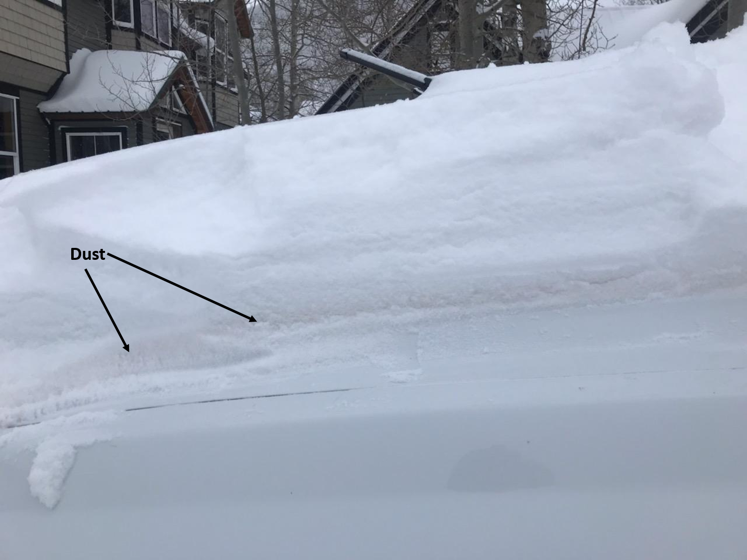
Below: If you were digging out from the storm and felt like the snow was very odd looking in texture and color, it wasn't your imagination. Photo of dust on the hood of my vehicle in Silverton. We will visit our Swamp Angel study area for a detailed dust assessment and sampling when Highway 550 opens.
Below: Wind rose plot of the wind direction and speed at Putney that ushered in dust event the proceeded snow storm.


