CODOS UPDATE February 26, 2023: Big storm, mild dust
Greetings from Silverton,
What a weather week around the country. I hope no one tried to travel on Wednesday in Colorado, it was simply impossible here in Silverton with heavy snowfall, high winds, and multiple road closures. Add a day-long power outage and it made for a definite hibernation day. With the high S-SW winds - our Putney station at Red Mt Pass recorded a 106 mph gust and sustained gusts in the 90’s for 4 hours - it was a given we would see dust (rocks, trees, anything that wasn’t nailed down) in the snowpack. A weather window allowed a visit to Swamp Angel yesterday and we observed a mild dust layer about 6” below the snow surface. The snowpack is 6.6’ with a SWE of 21.5”. The pictures below show how things looked. You can view our snow profile forms on the codos.org website. And our storm reports at snowstudies.org.
This new dust layer is the first relevant dust event we have observed so far this season. For the record books it is dust event #2 (D2) for the water year, the first event was an early season event and sits just off the ground surface. Currently dust severity is considered “mild”. But the forecast looks to keep things interesting with upwards of 18” over the next 7 days near Silverton and even more elsewhere. Winds will be mostly out of the S-SW, we are entering the time of year where we could see multiple dust events stacked up on one another. Dust severity could go from mild to severe in no time.
This week you will see our March 1st Update, where we detail where we are at so far this winter with snowpack, dust, and what looks to be plausible runoff scenarios come this spring.
Take Care - Jeff Derry
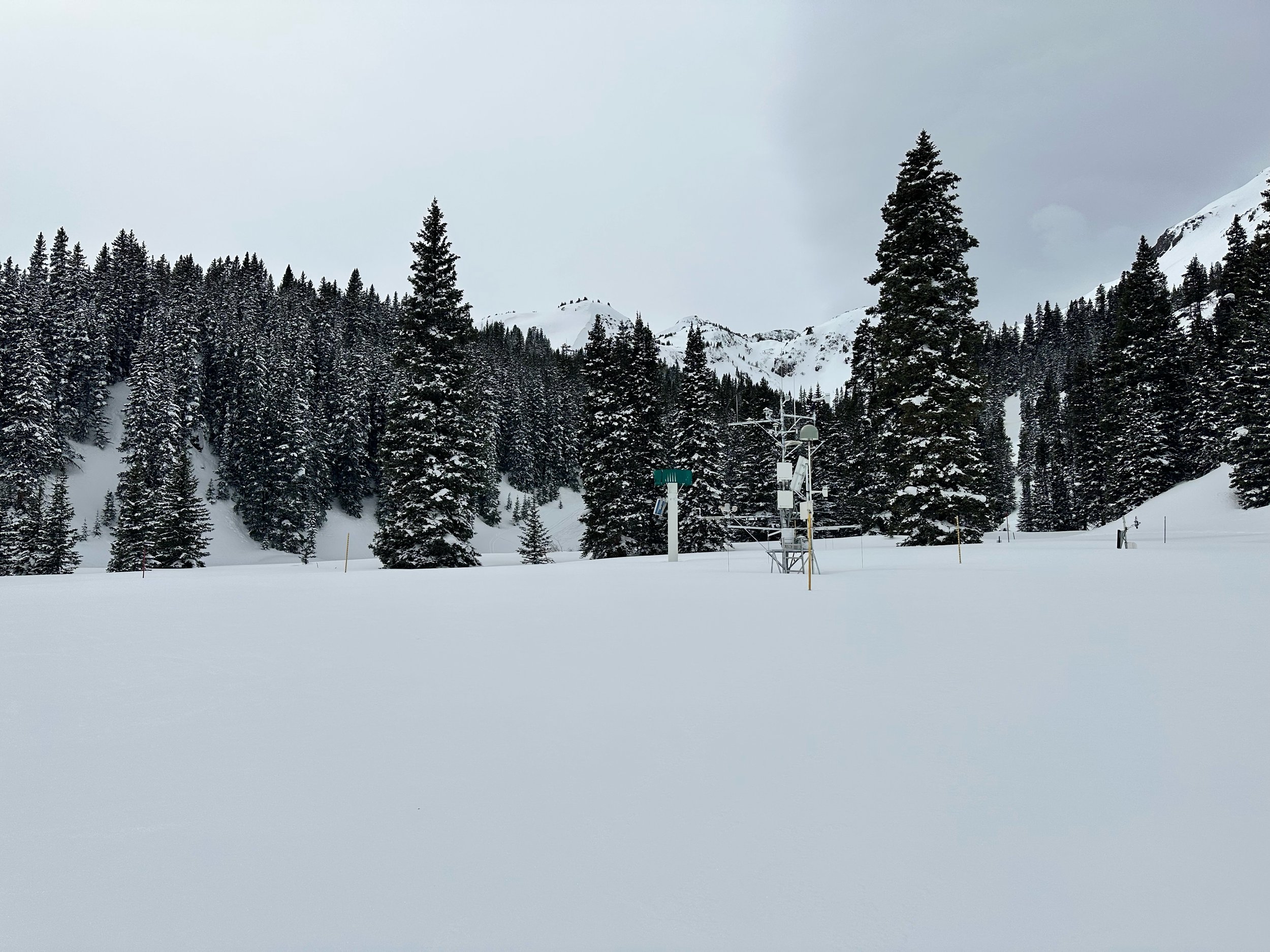
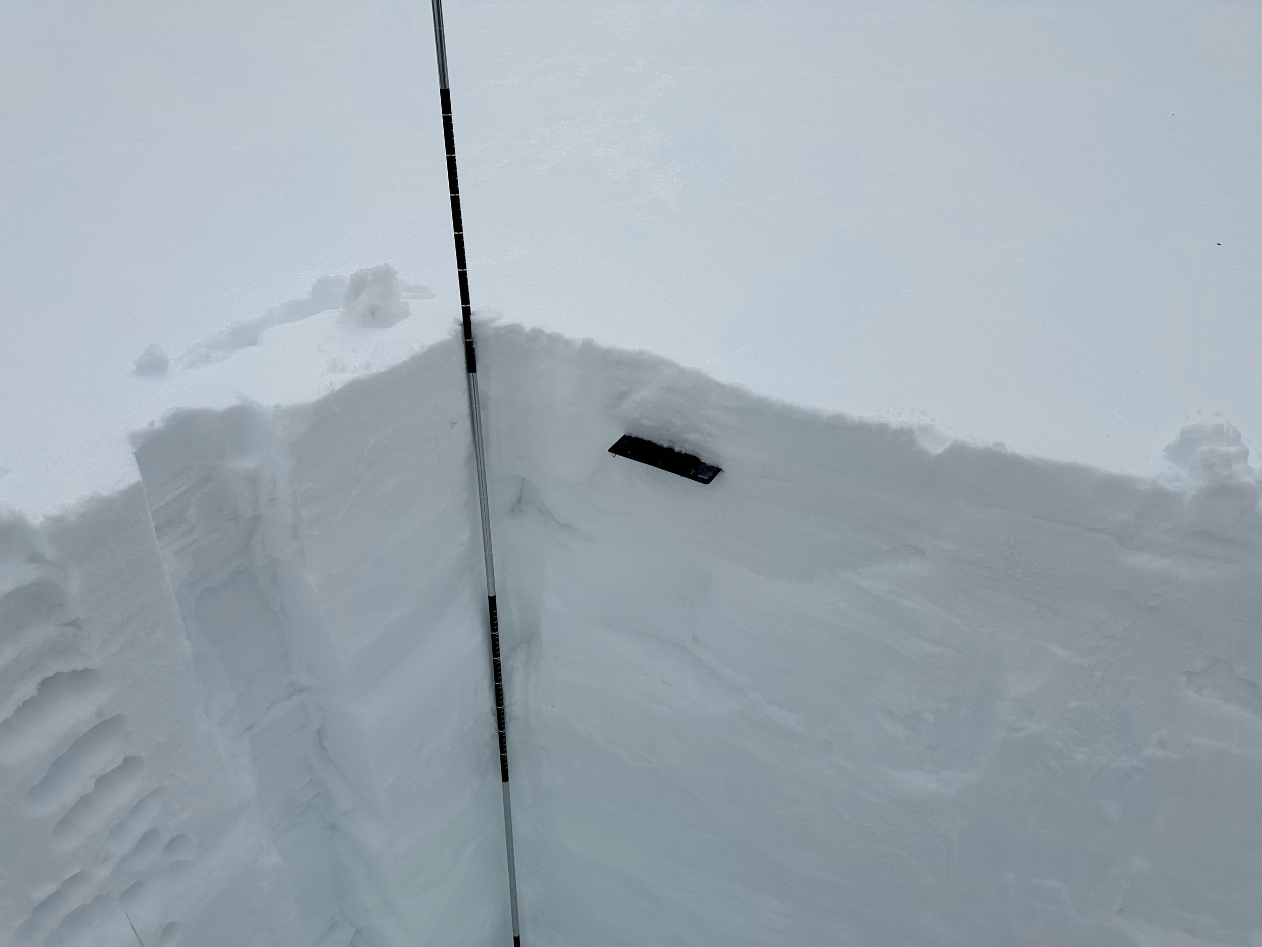
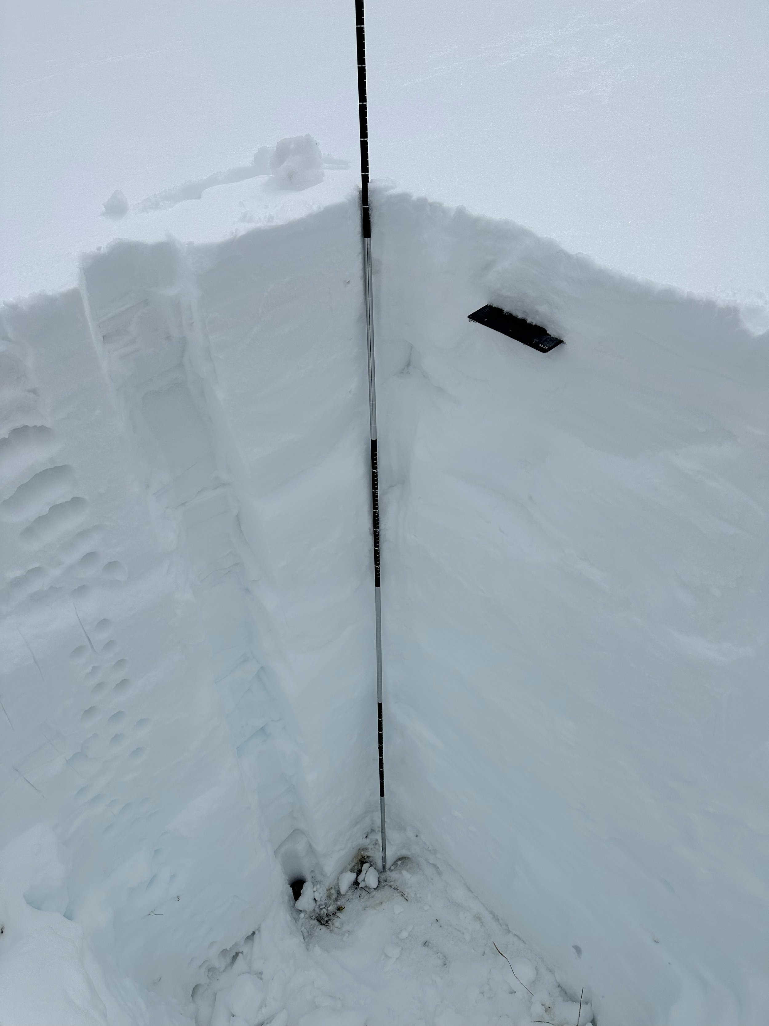
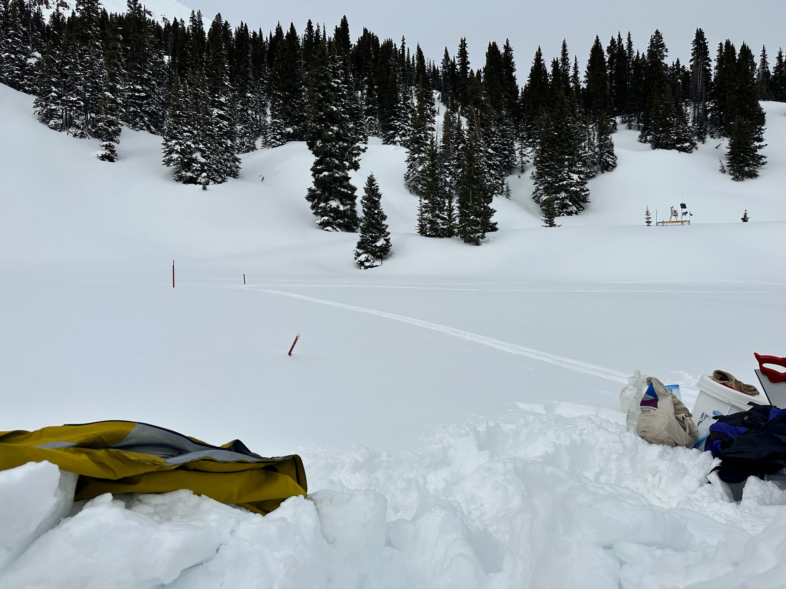
Above: Swamp Angel Study site on Feb. 25. A mild dust layer (D2) sits ~6” below the surface from the storm on Feb 22.
Below: Observers from Rico noted the new dust deposition as well.
Below: Our Swamp Angel site at 11,060’. On Feb 25 we measured 21.5” SWE. Across the street Red Mt Pass SNOTEL was showing the same.

