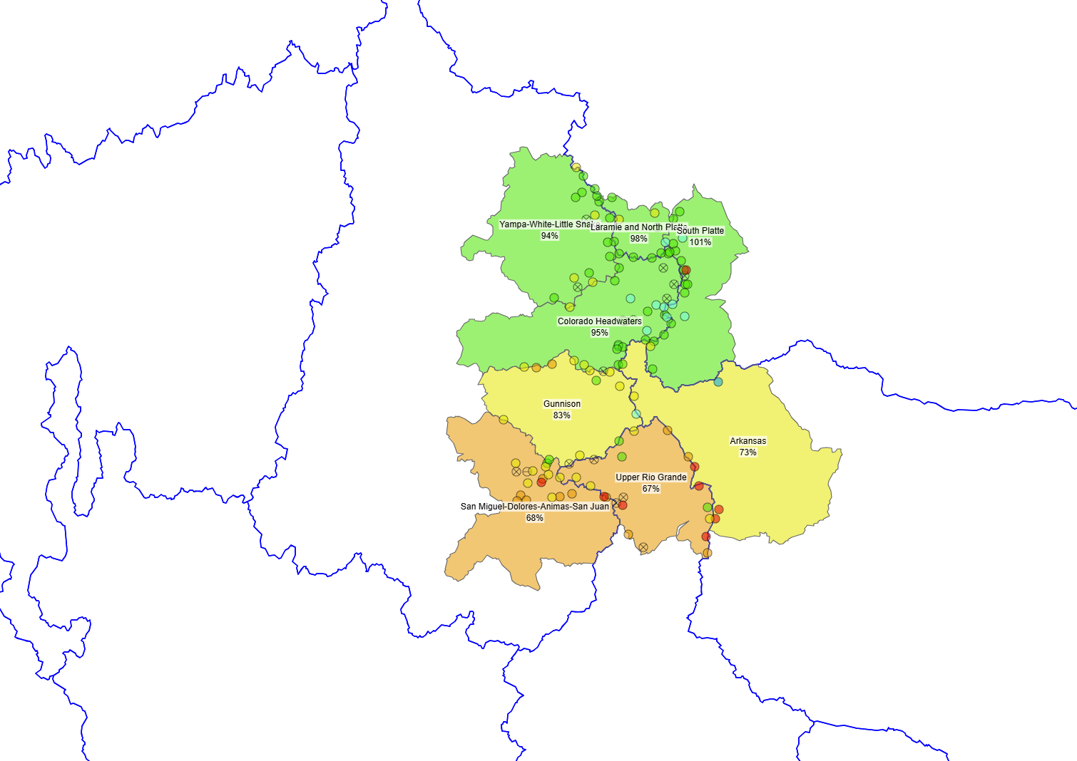
CODOS Tour Update March 15, 2024: Statewide dust-on-snow observations for march
Greetings from Silverton,
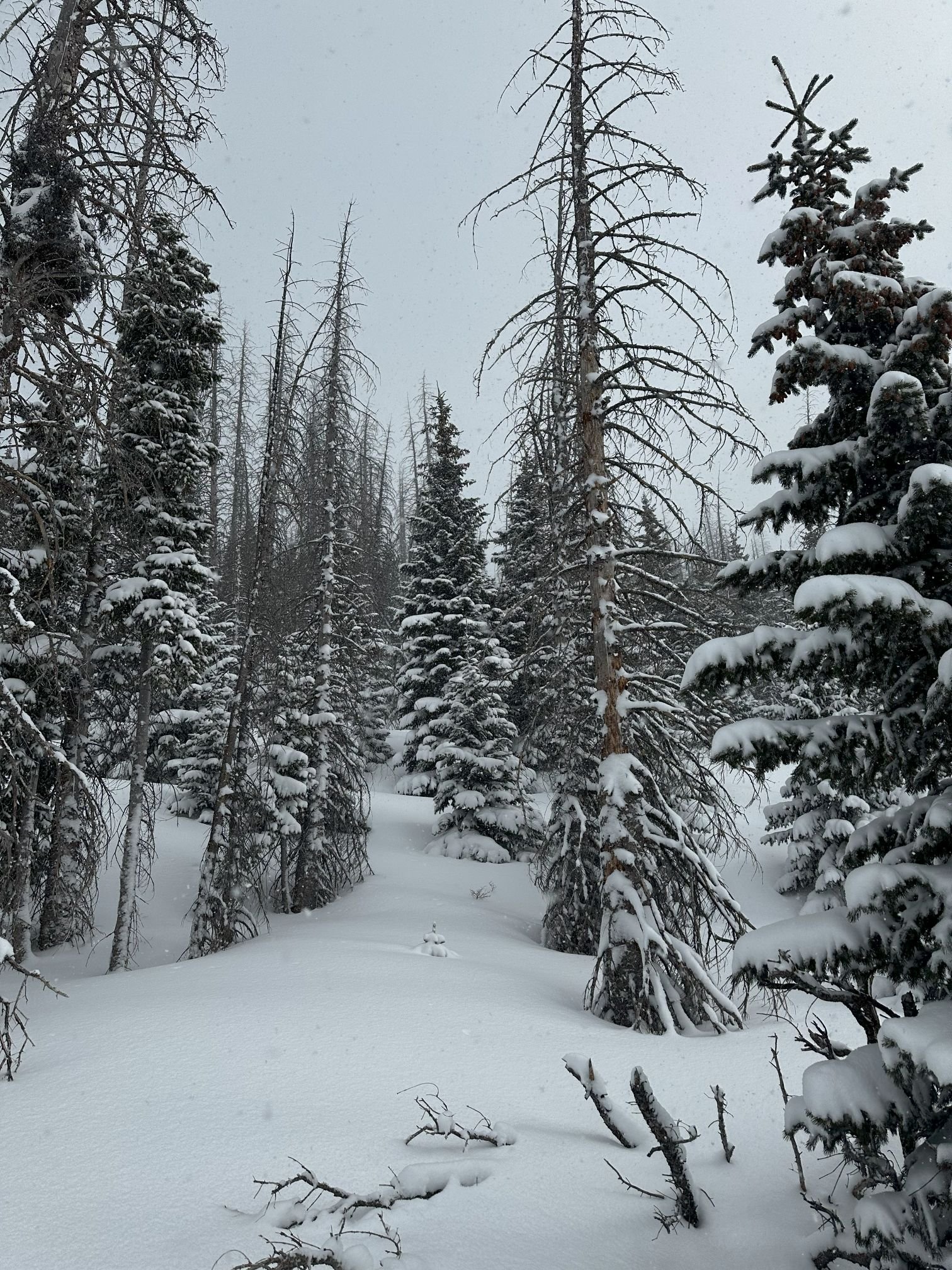
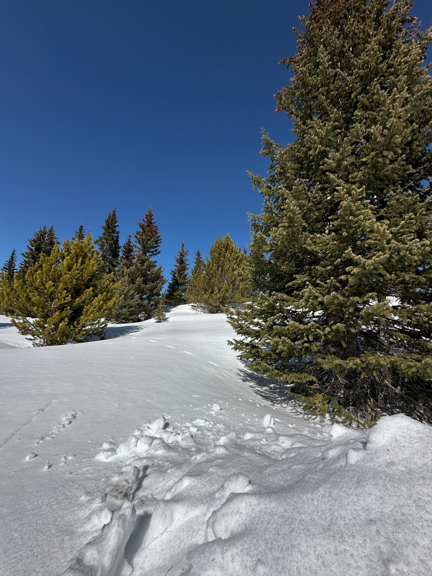
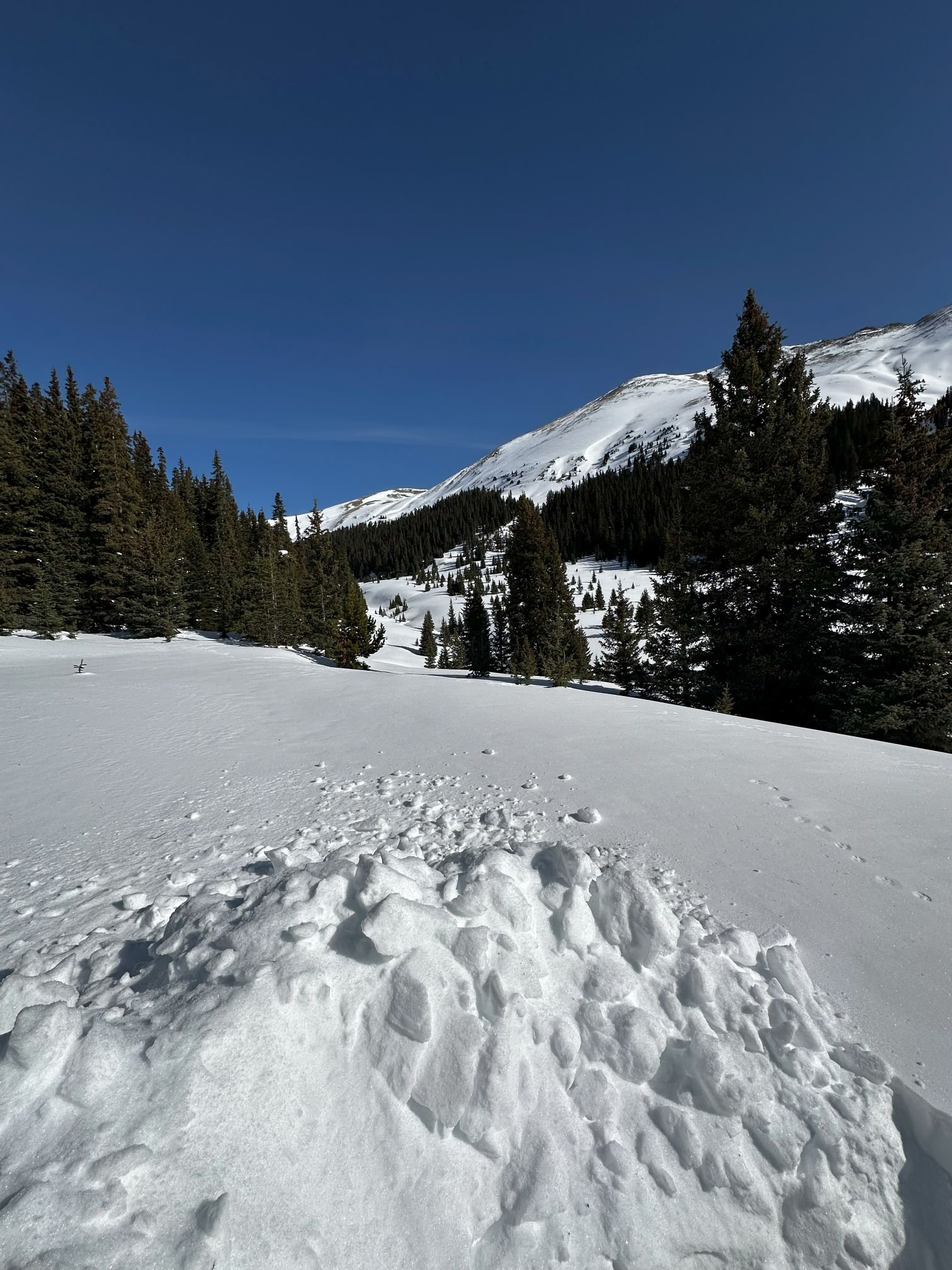
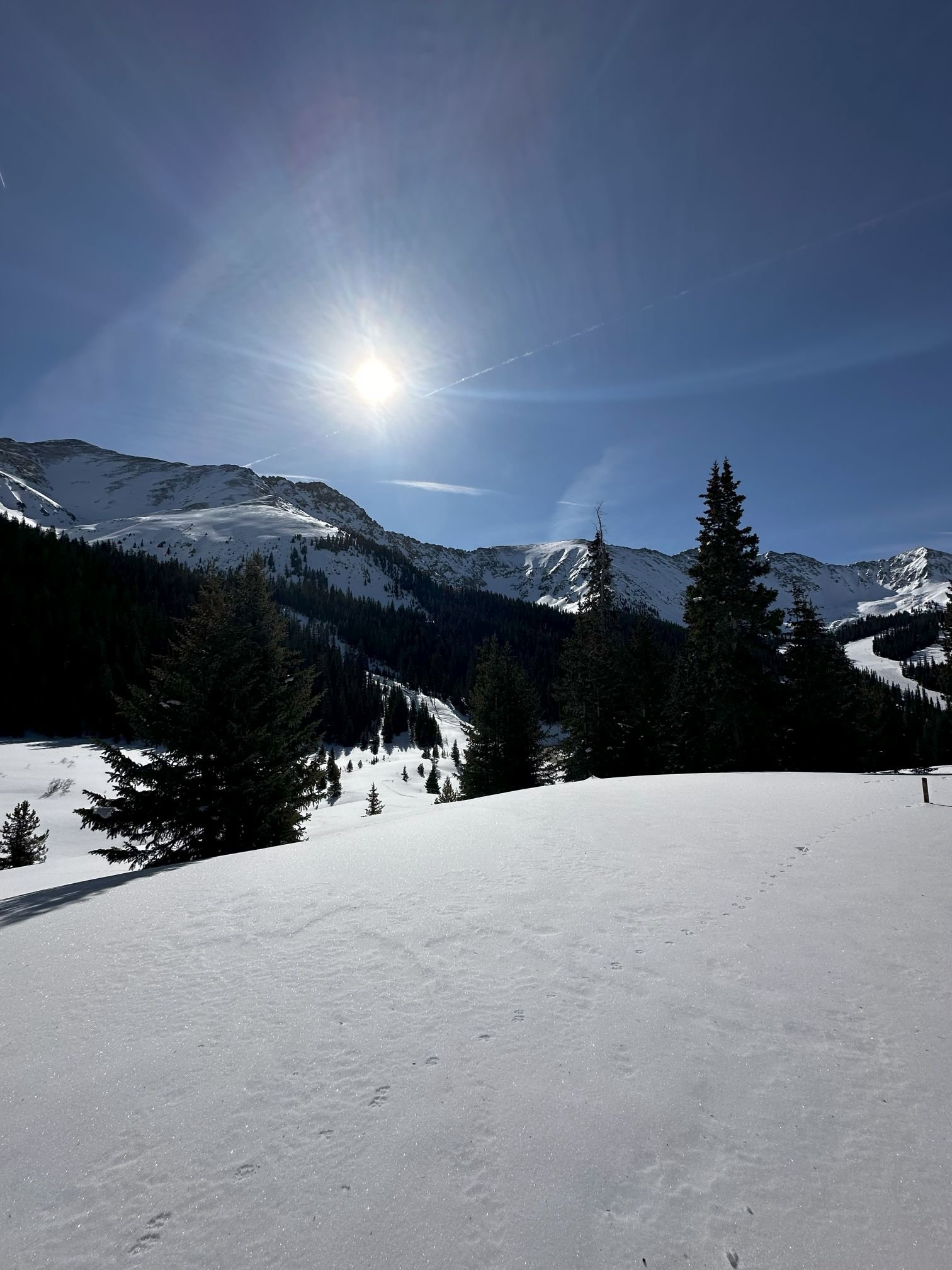
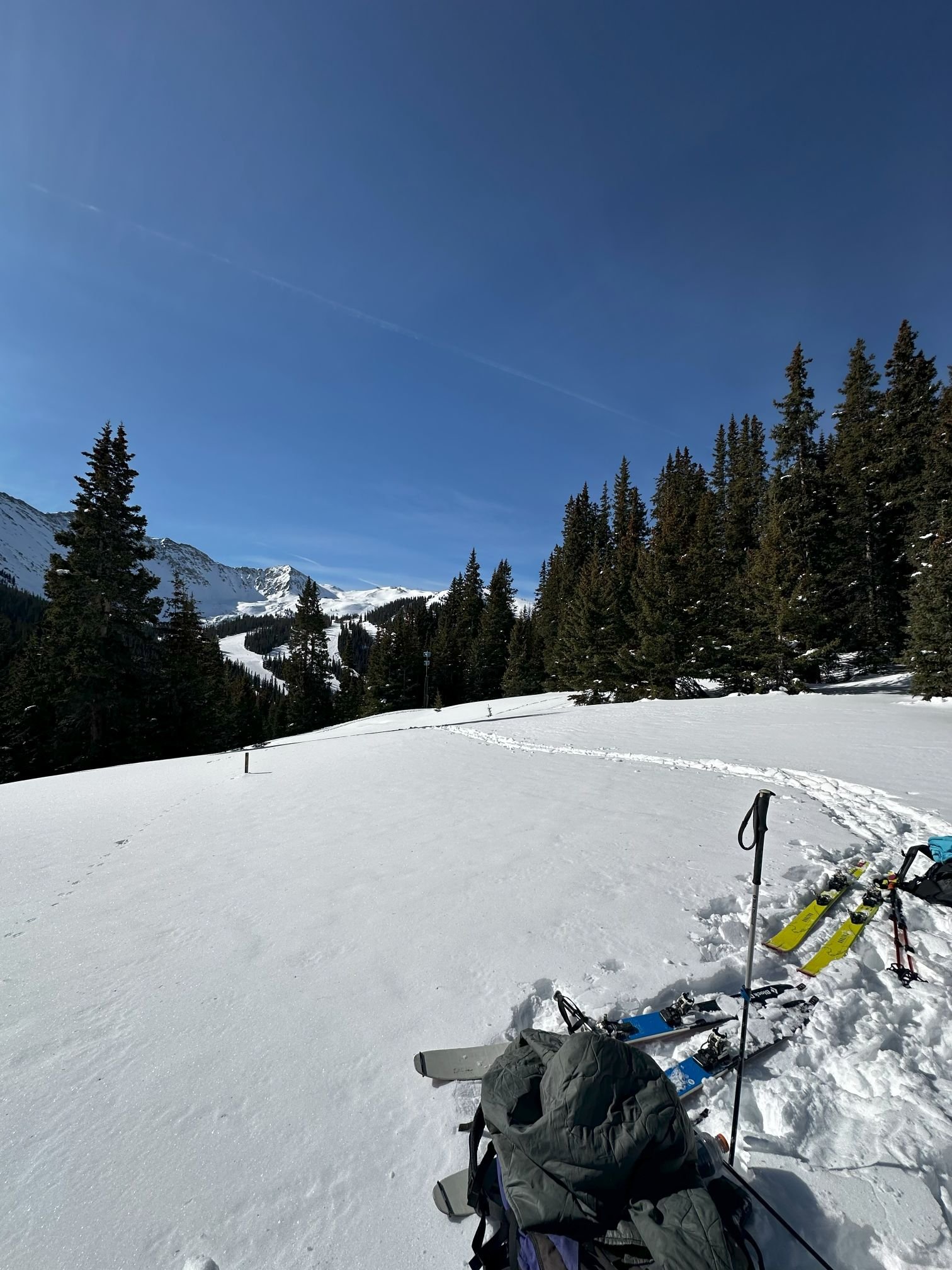
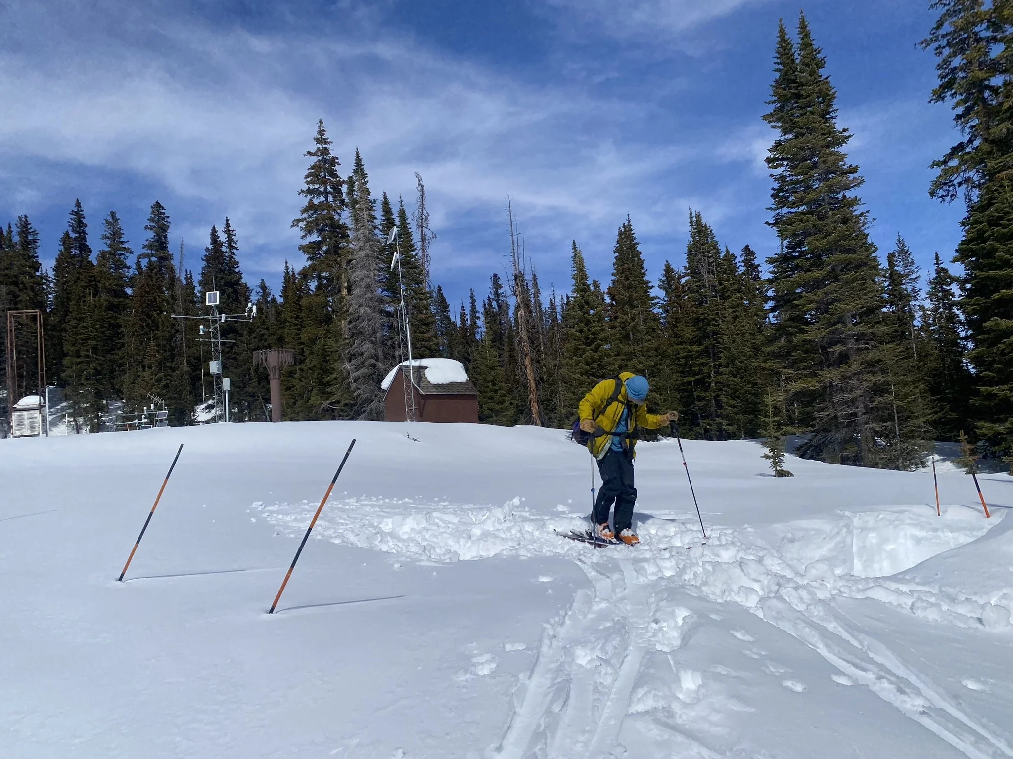
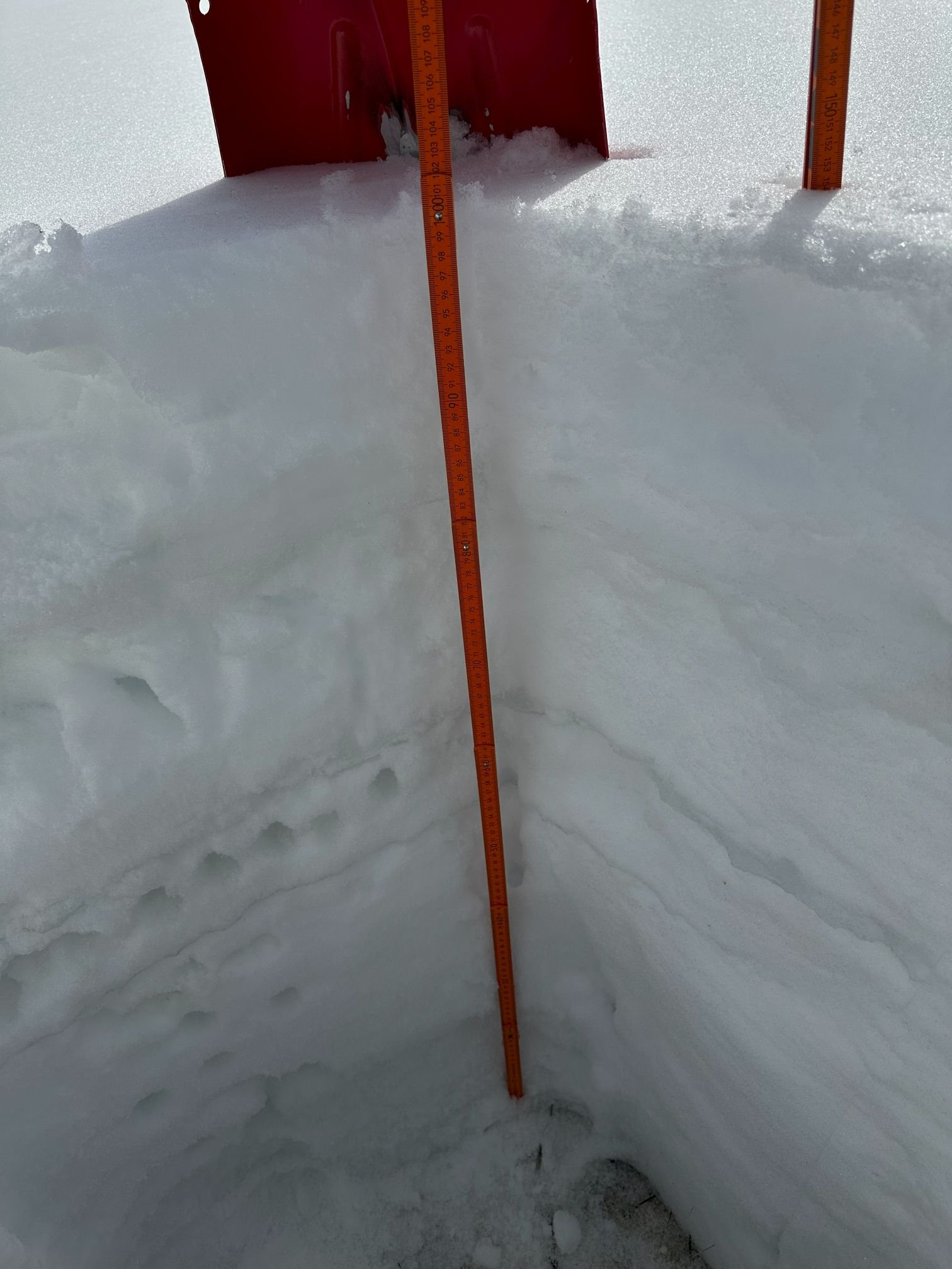
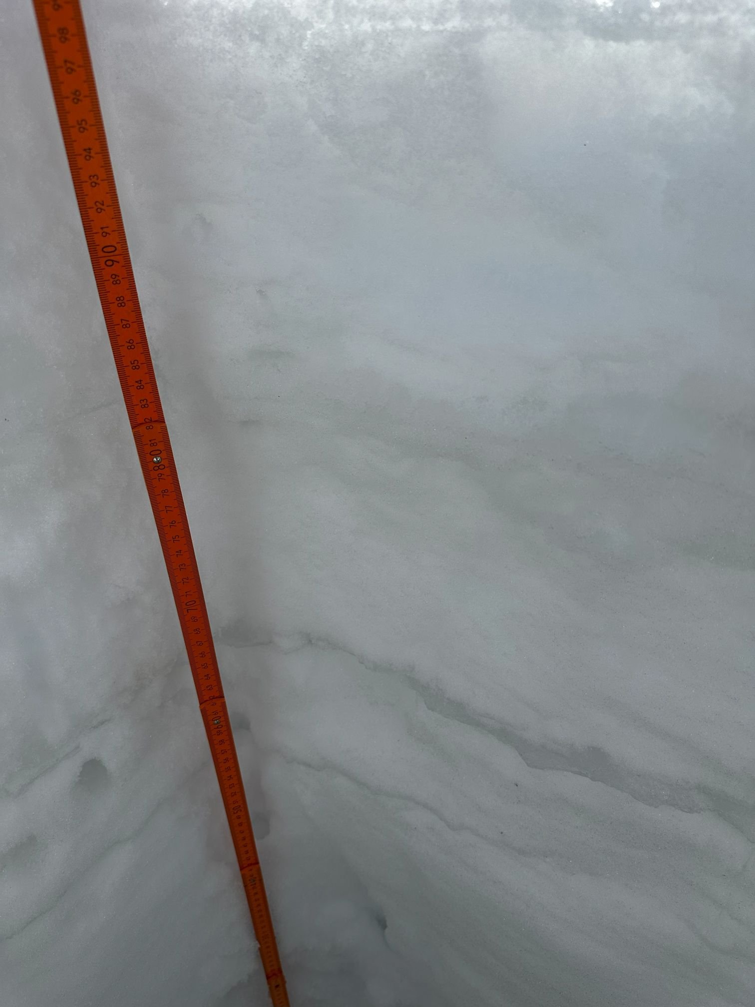
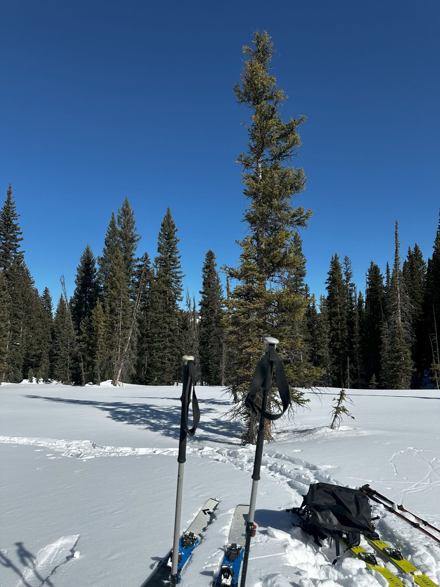
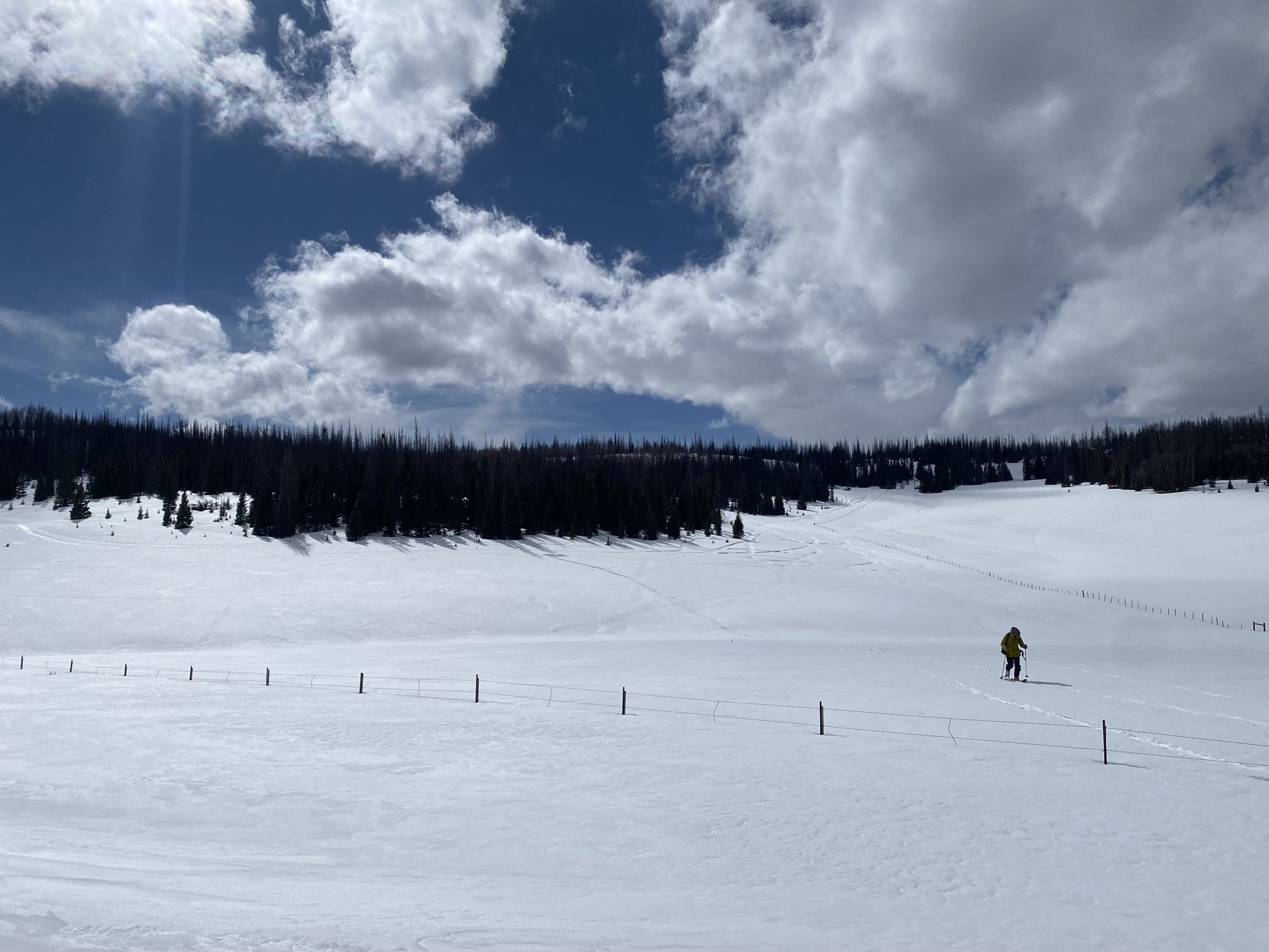
This past week the Colorado dust-on-snow team traveled to mountain passes across the state digging snow profiles in search of the presence of dust, severity, and location in the snowpack. In a general sense, we felt as though we were deep into spring rather than just at the start, with sunny, hot days, frequent de-layering, and constant threat of sunburn. Driving around the state, It felt like sparse low-elevation snow cover in most areas except for the northern mountains, North Park and Rabbit Ears Pass area. This is another unique year in that this is the least severe dust-on-snow winter to-date. At Swamp Angel - typically the first and hardest hit local with dust - we have a distinct, but very faint dust layer around mid-pack and that is about it. At Wolf Creek - also a typically hard hit area - we observed the same faint dust layer and that is about it. The other sites, if dust was observed, it was even more faint than observed at Swampy or Wolf Creek.
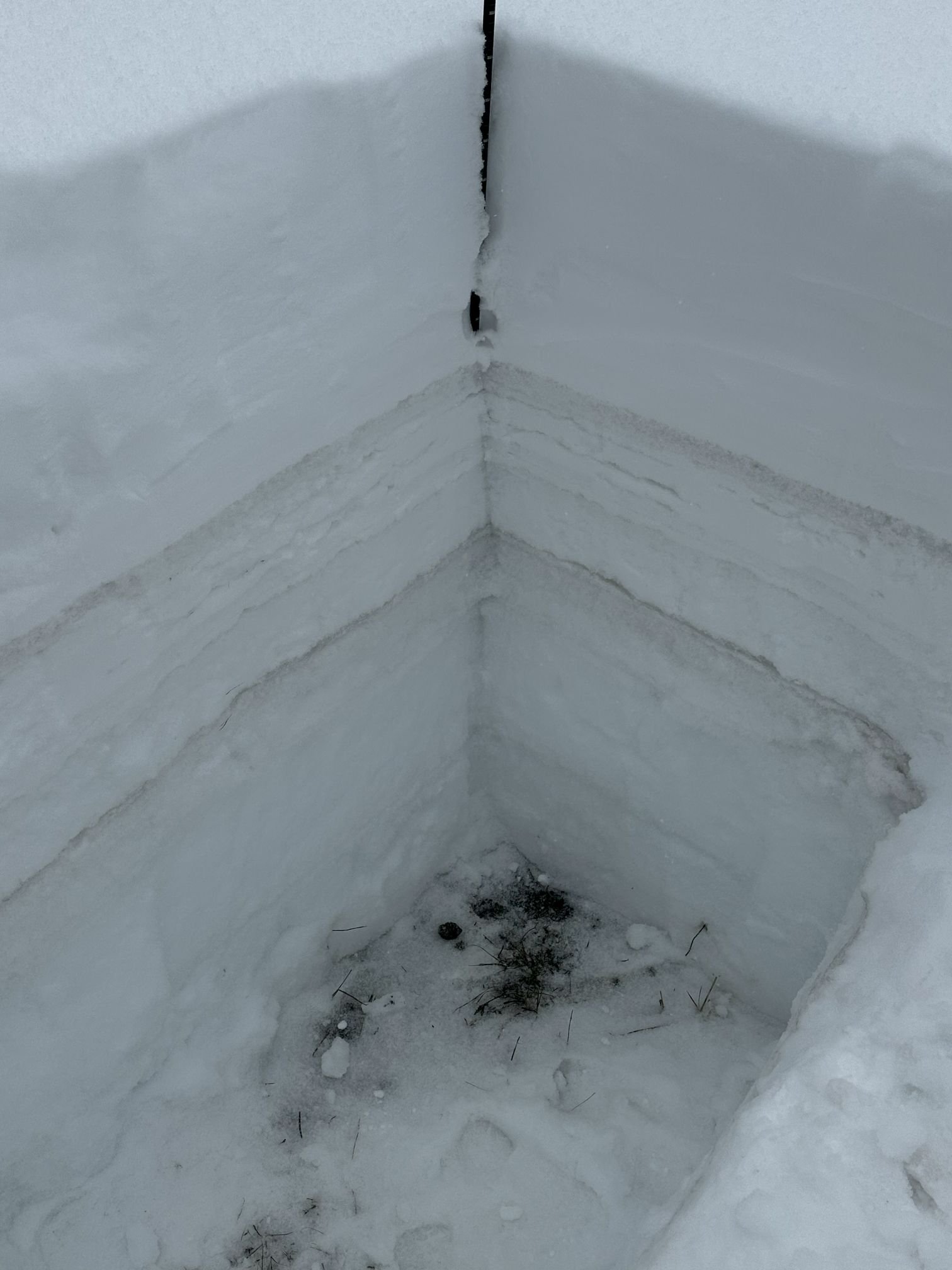
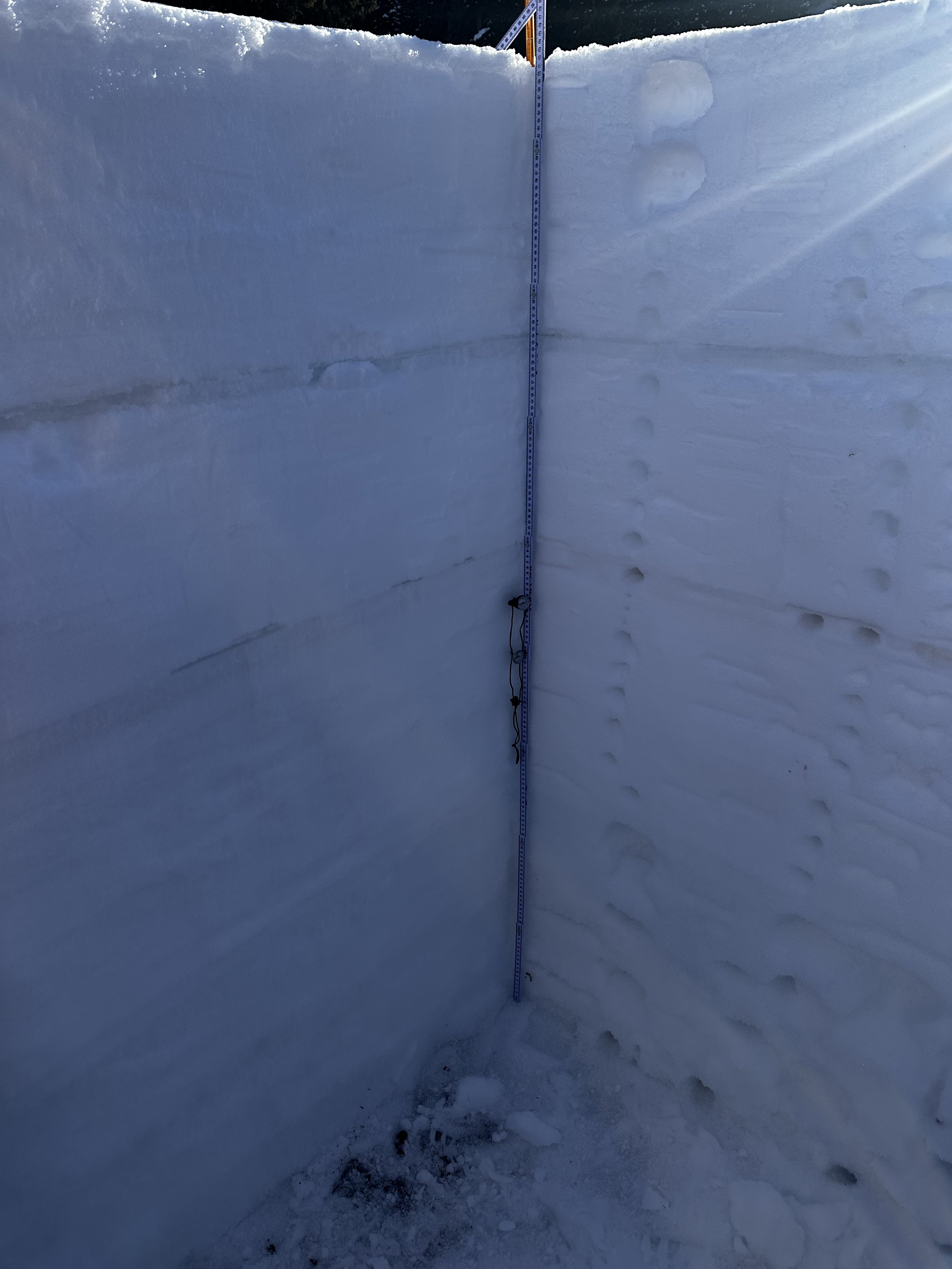
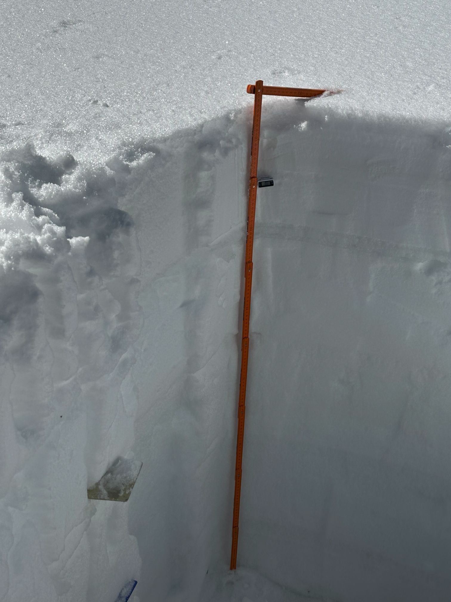
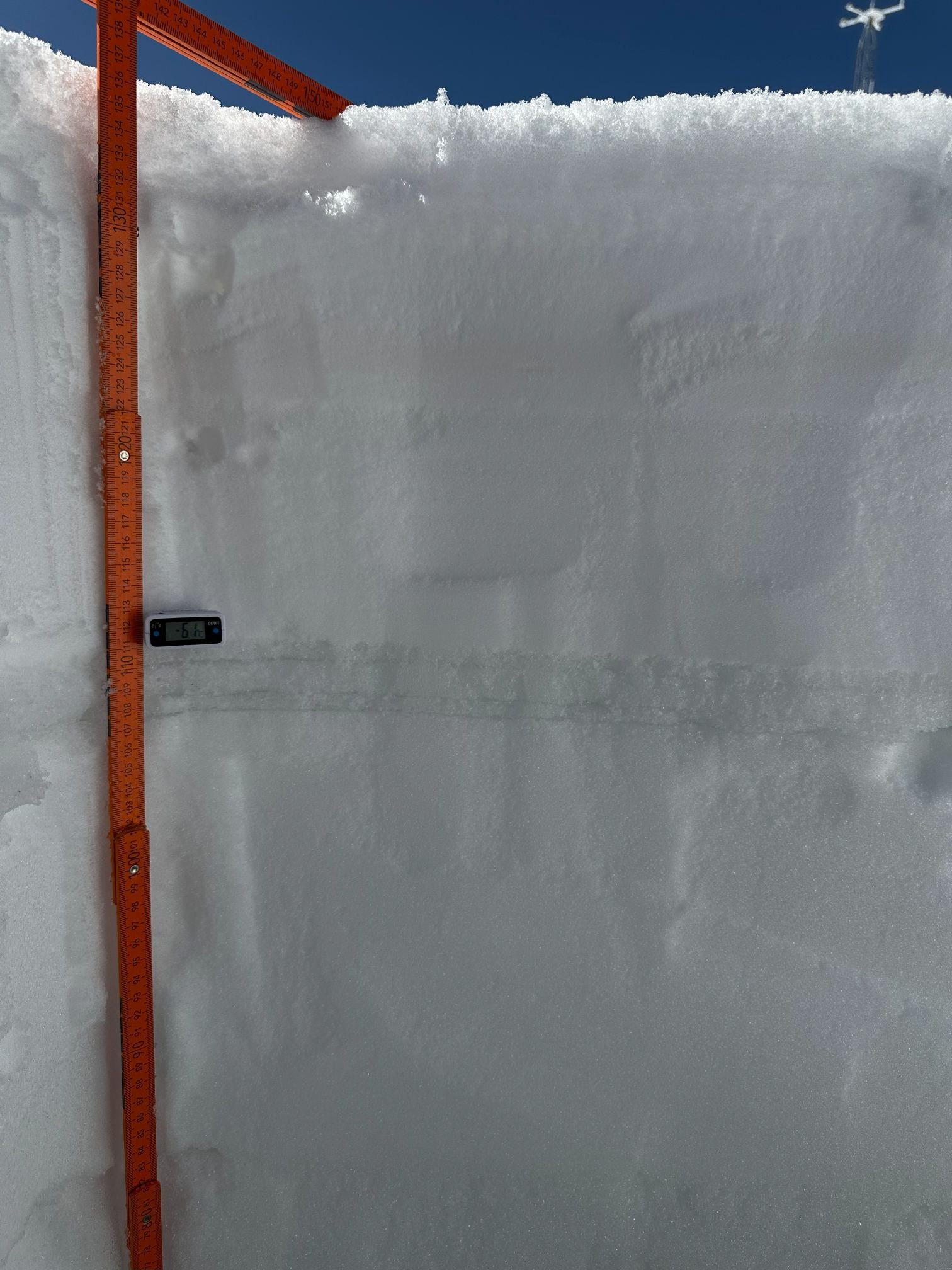
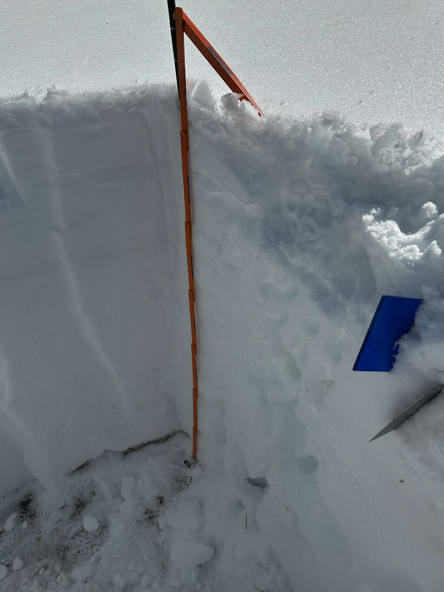
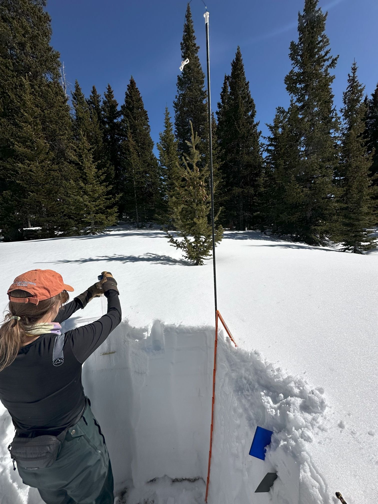
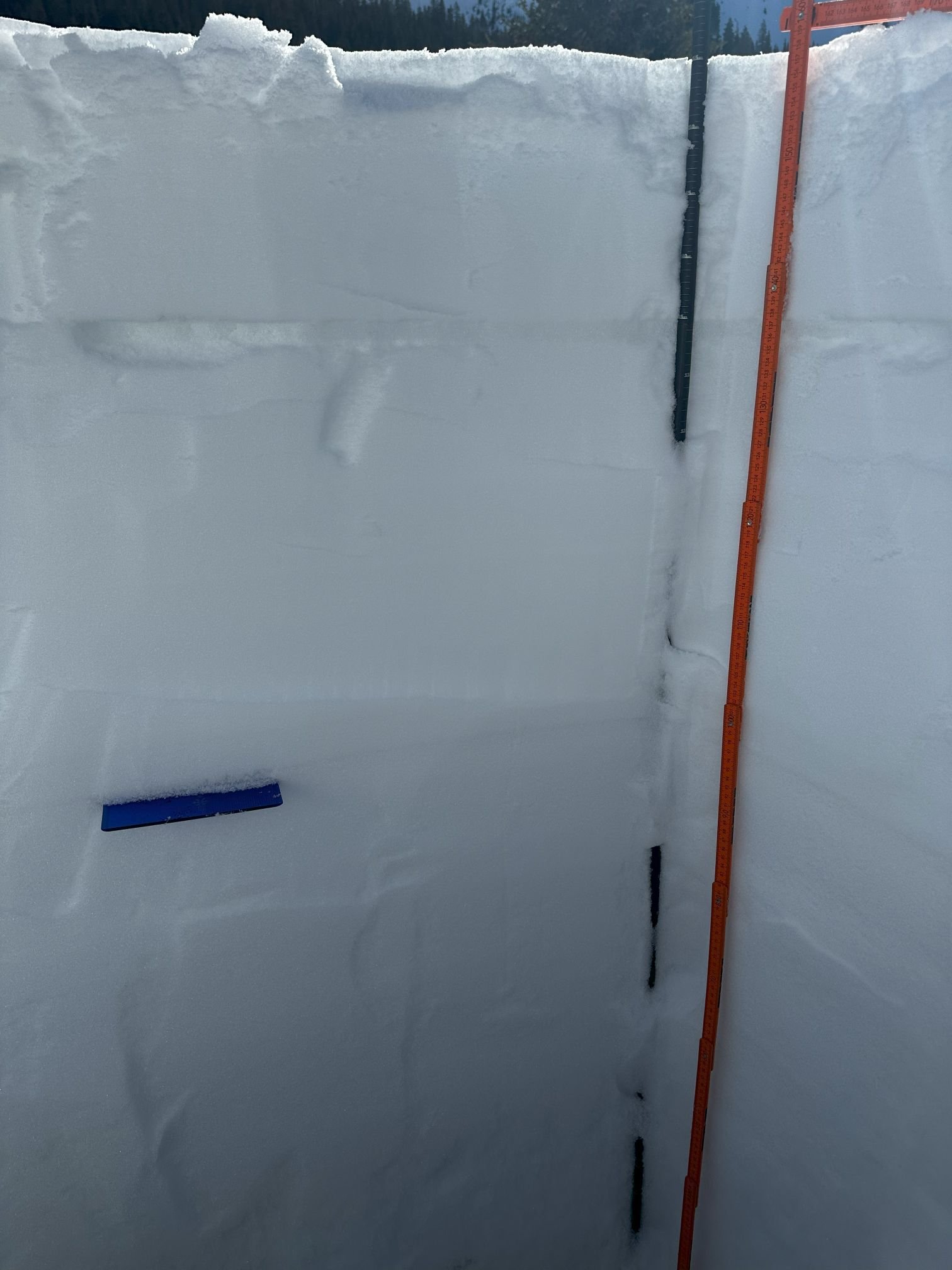
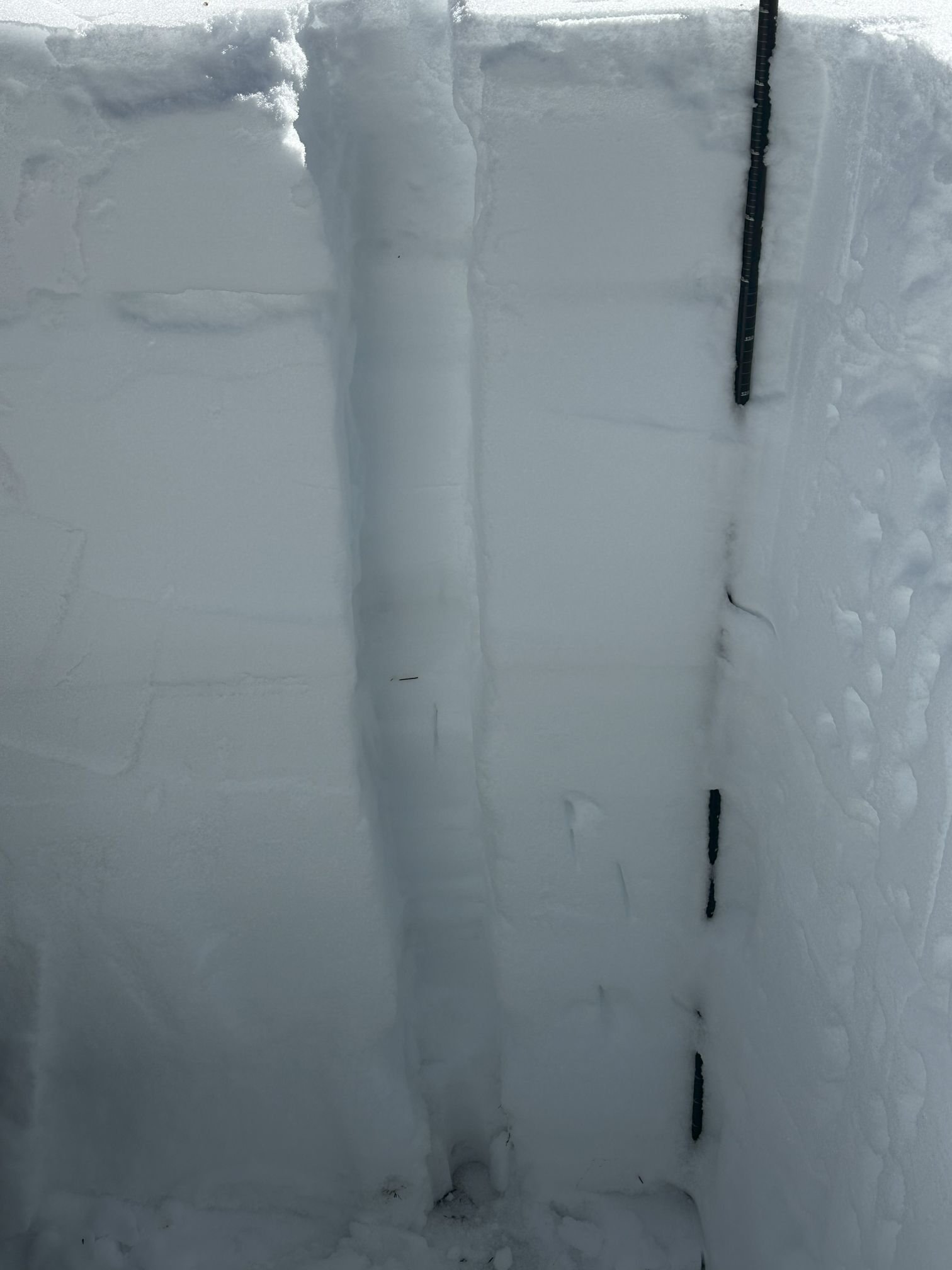
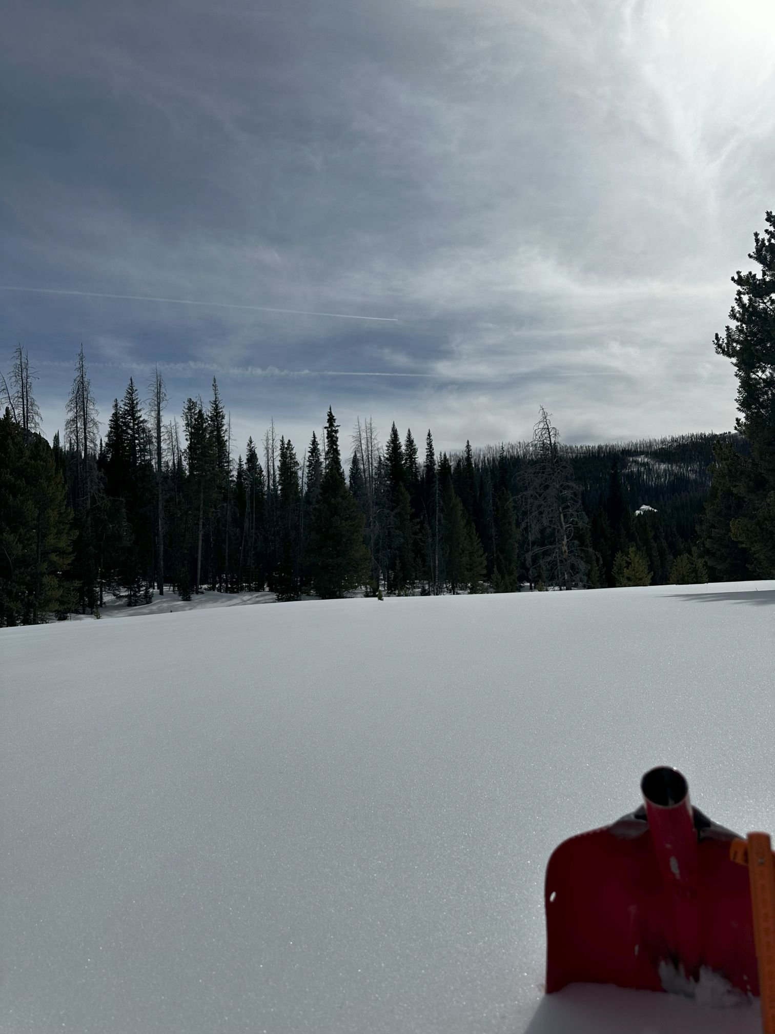
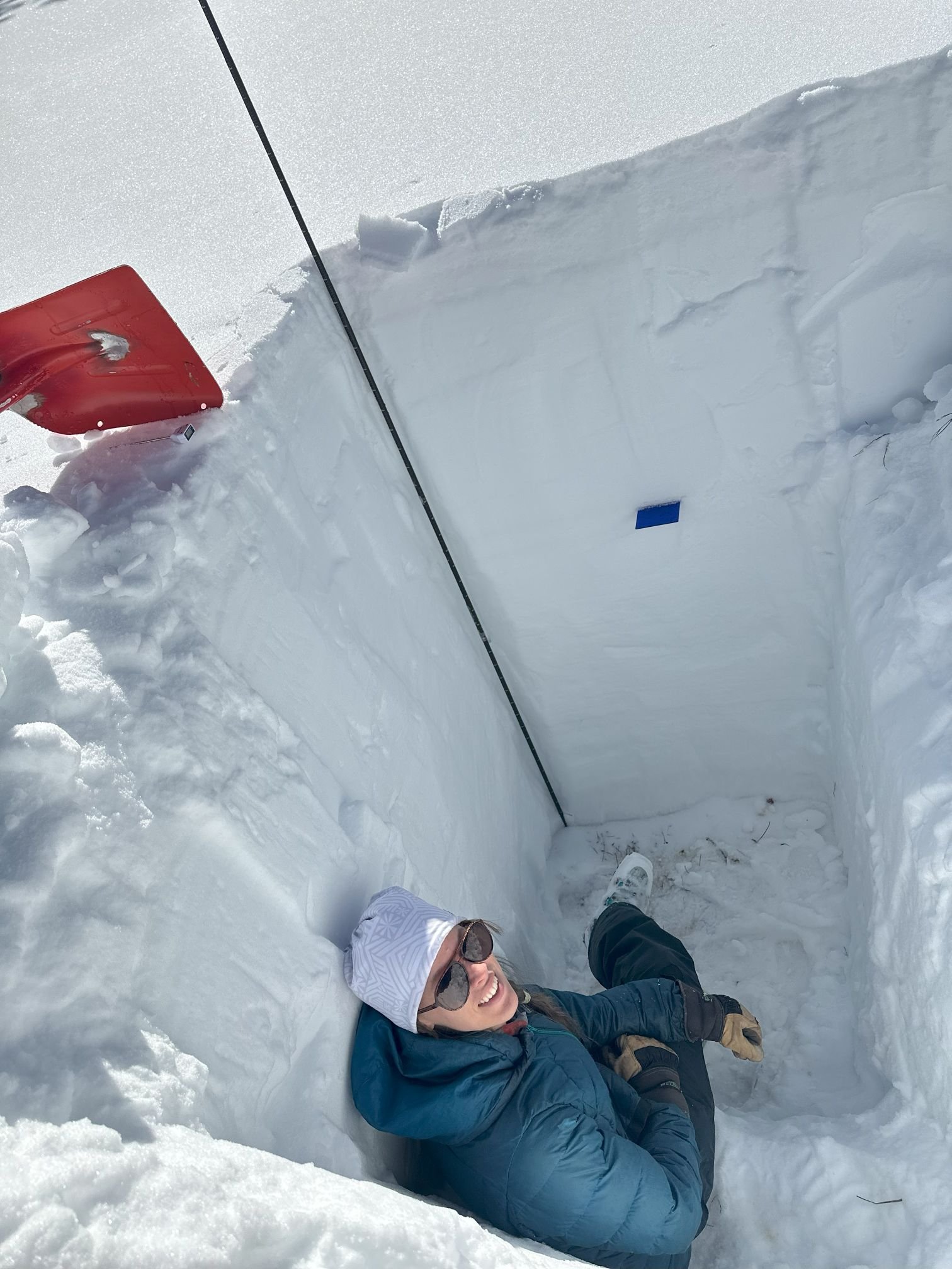
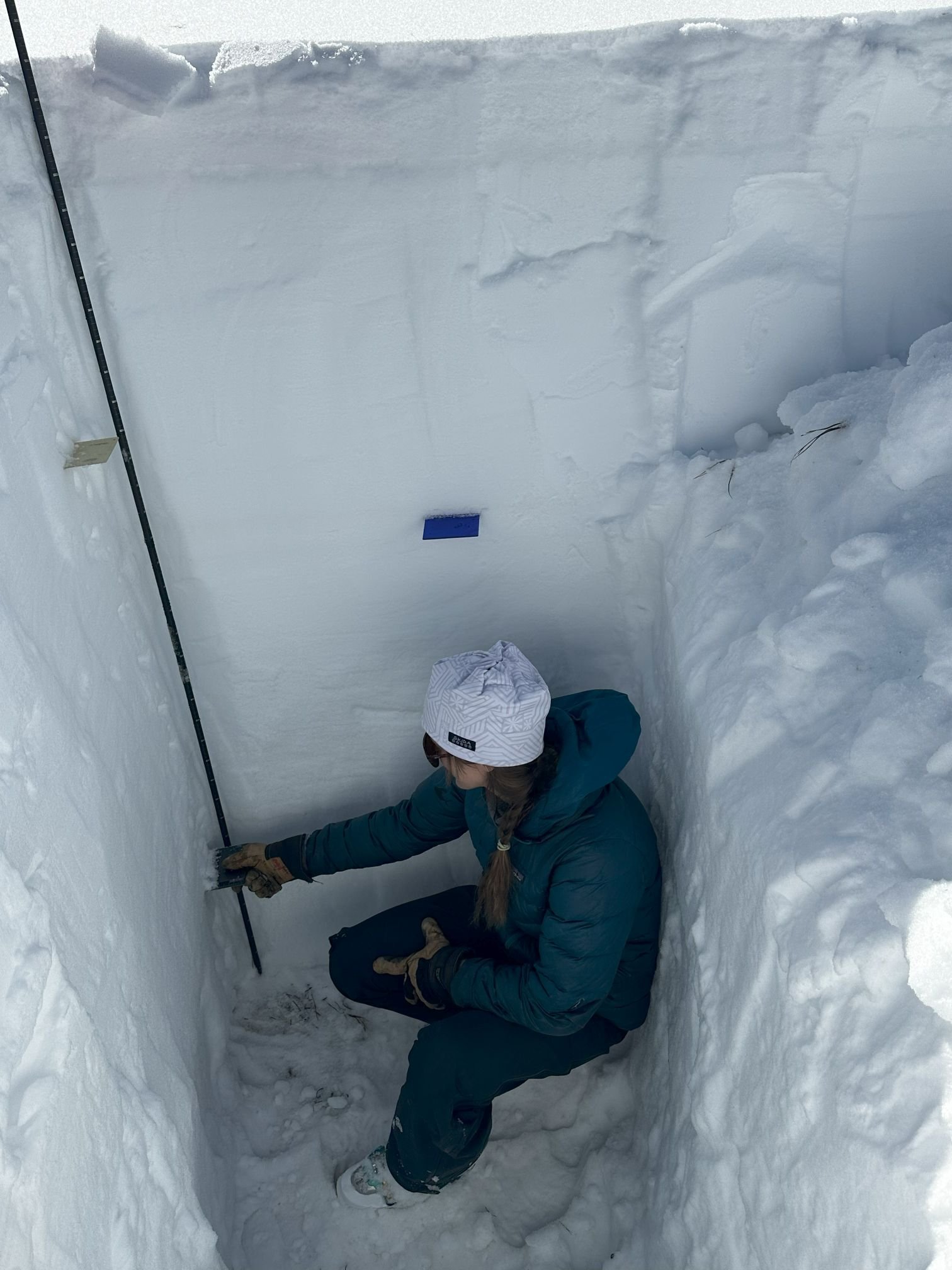
So the snow profile pictures below are without all the normal, obvious dust layers. But also as a reminder, when we dig these snow profiles, we collect other useful information, such as: snow water equivalent (SWE), depth, density, temperature profile, wetness, and hardness layers. Some of this info is mentioned below but follow this link to view the complete snow profile field forms.
And feel free to email or call the CSAS office with questions.
Take Care,
Jeff Derry
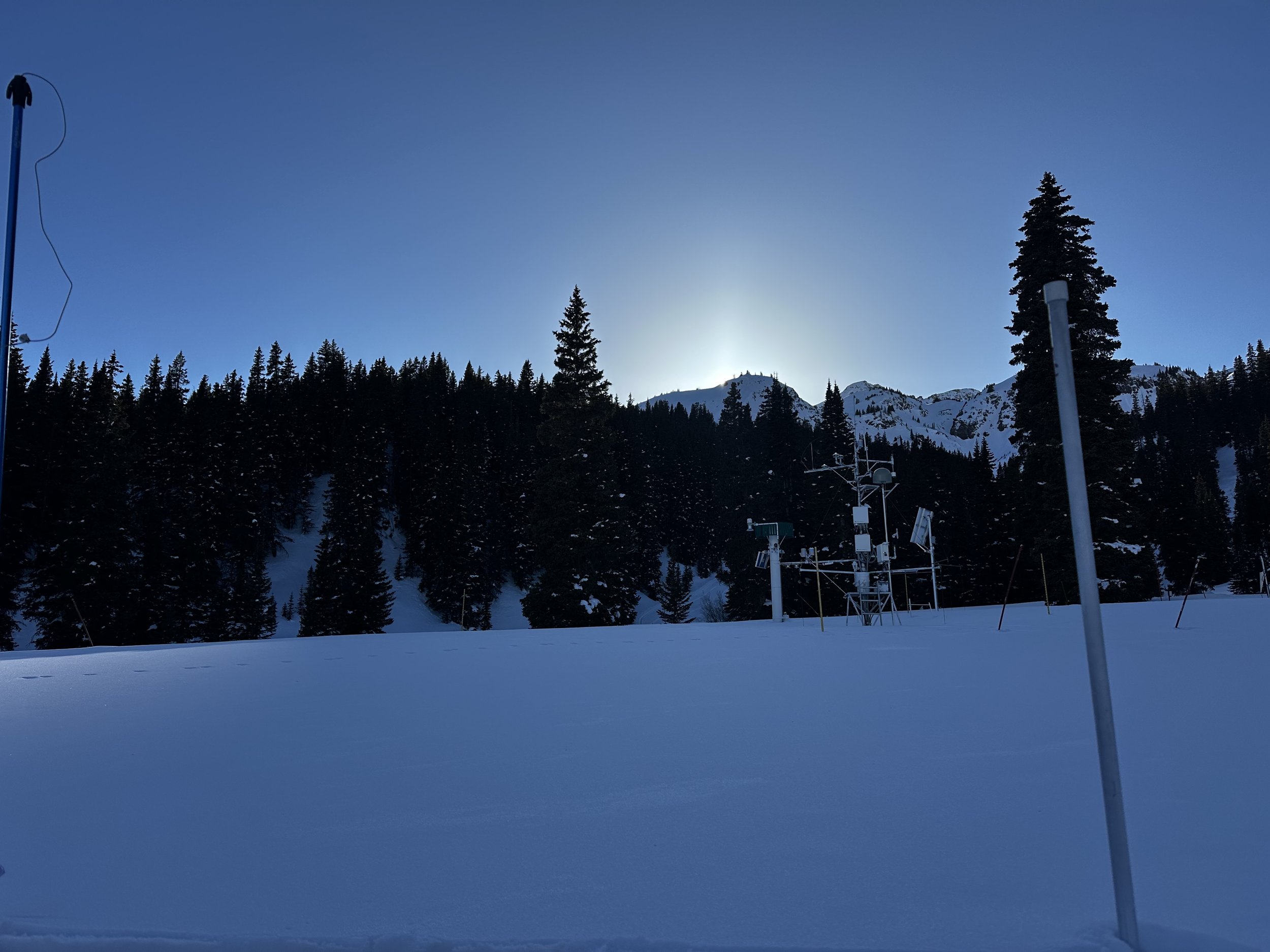
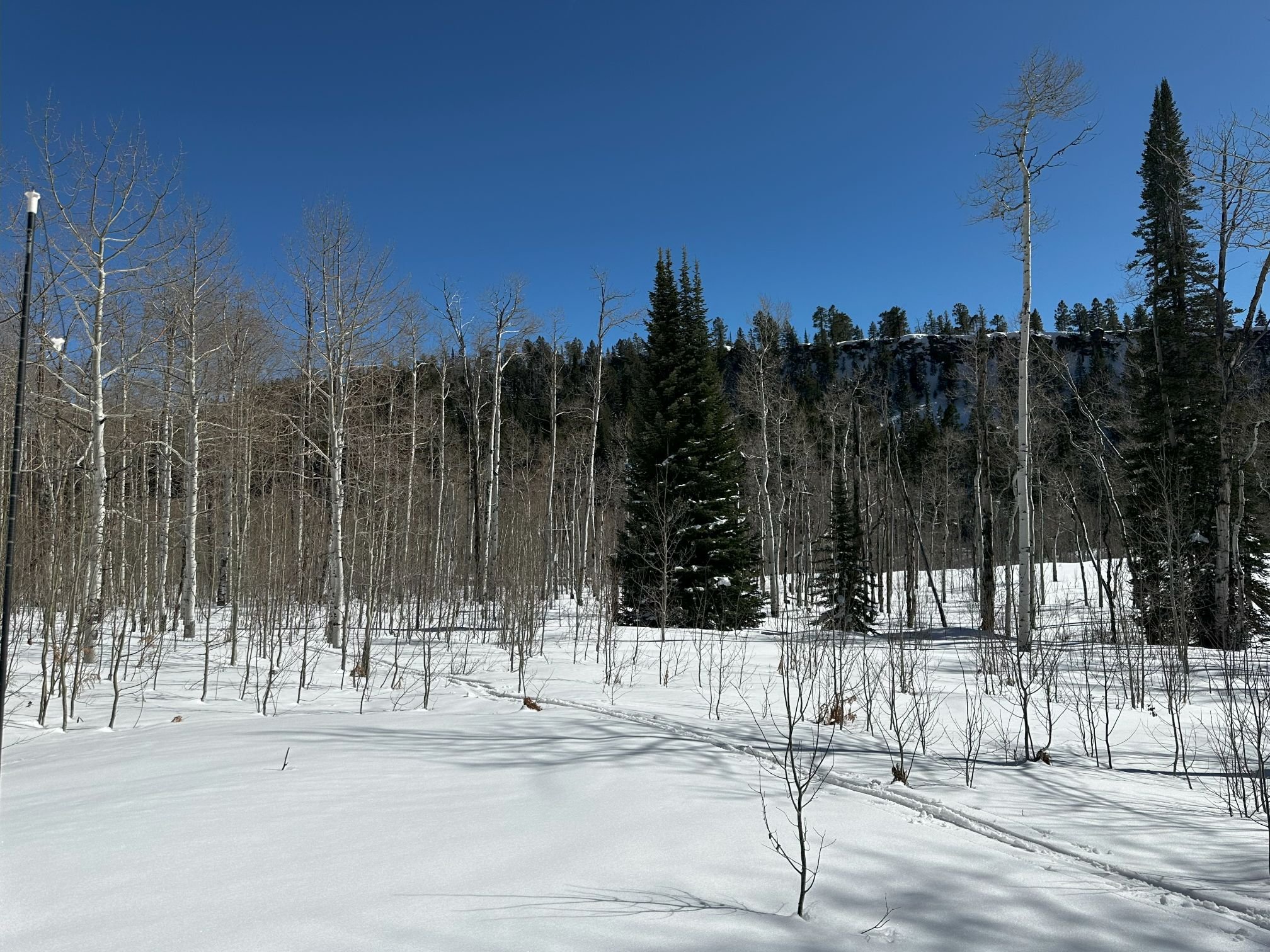
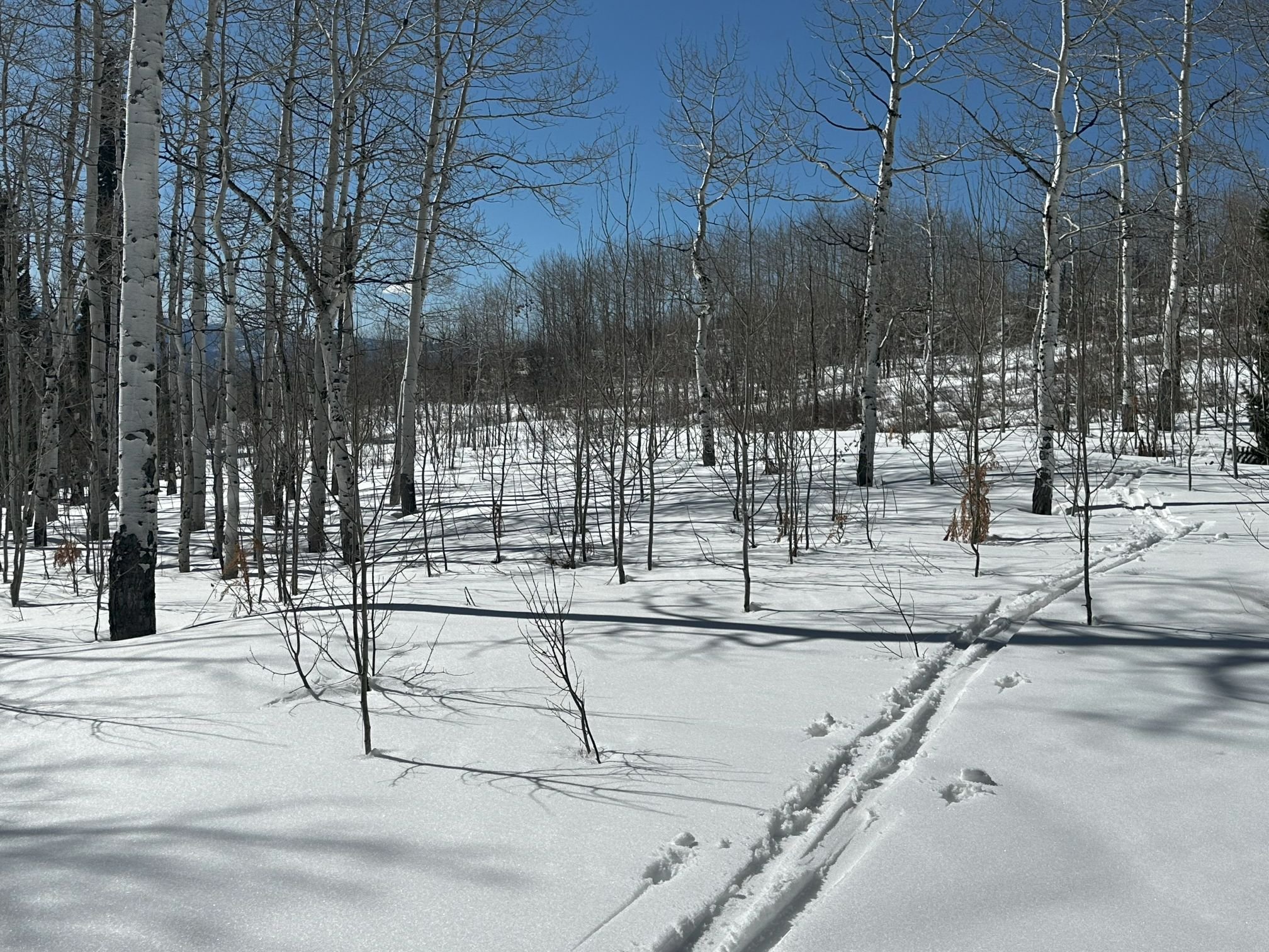
Below: CODOS monitoring locations.

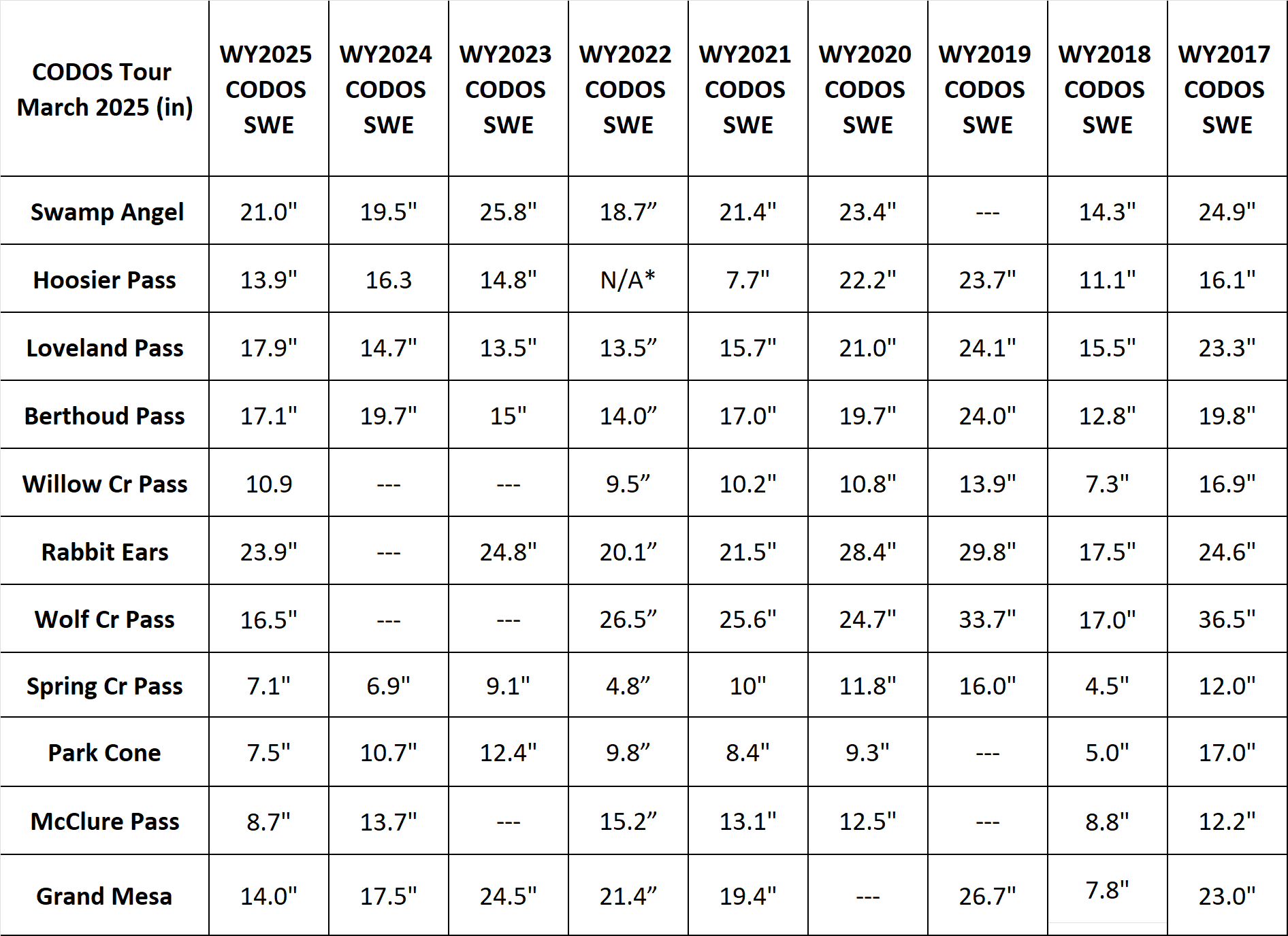
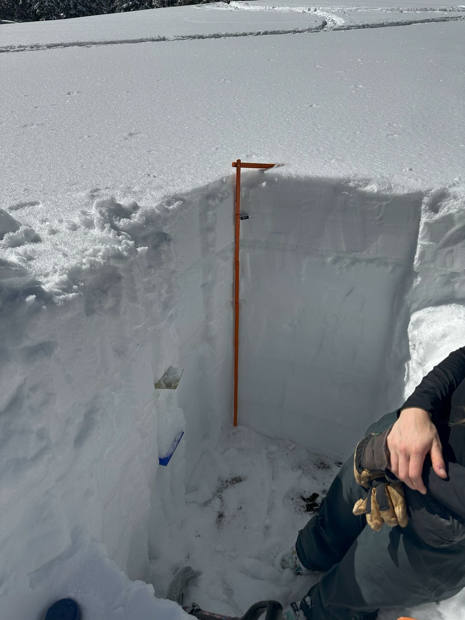
SWAMP ANGEL (Red Mt Pass): March 10
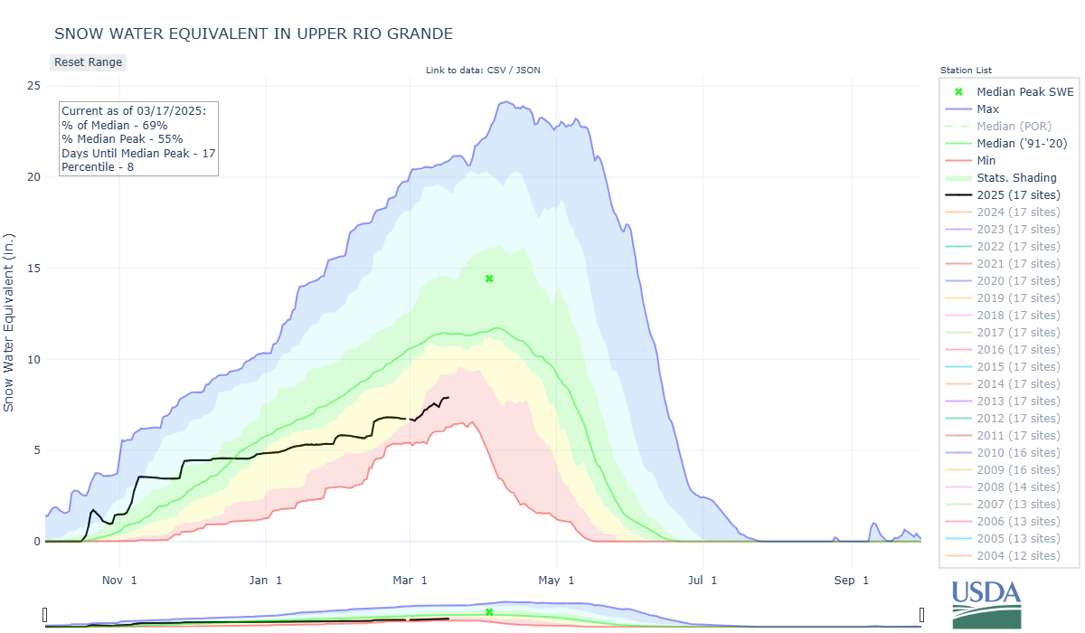
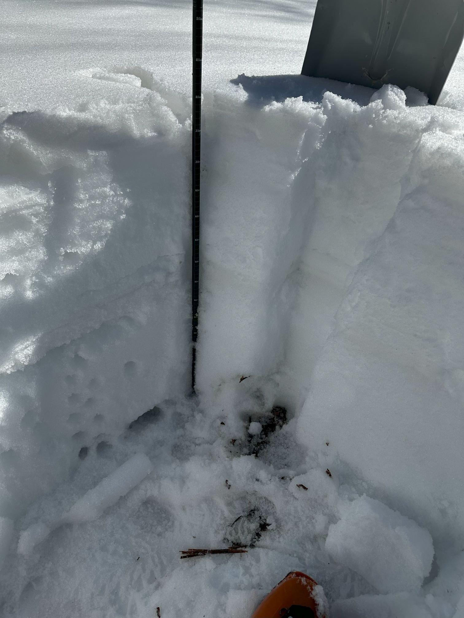
Swamp Angel Study Plot and in our Senator Beck Basin is our dust-on-snow intensive monitoring site. This time of year we dig a snow profile at least once a week at Swamp Angel and when conditions allow at Senator Beck Study Plot. As of this writing the only dust event of the season is located about 2.4’ below a 5.6’ snowpack, close to midway down. Our last profile was March 10 before the start of the CODOS tour, SWE was 21” (currently 22.6” after the recent storm). High southwest winds were expected these past few days but as of now we have not seen any indication of dust.
grand mesa: March 9
Grand Mesa has 4.5’ snow depth with 14” of SWE. Density 260 kg/ m^2. Since 2017, only WY2018 was lower SWE for March at our codos pit. No obvious signs of dust except for a possible faint dust layer 5” below the surface. Nearby Mesa Lakes SNOTEL was reporting 11” SWE. We saw some interesting surface crystals at our site location.


mcclure pass: March 9
For McClure Pass, snow depth was at 2.6’, SWE was 8.7”. Density 276 kg/m^2. There was faint dust on the top 2 inches of the surface. Nearby McClure SNOTEL was reporting 11.6”. No surprise for this site, but the snowpack temperature is within less than a degree of being isothermal with a wet surface..


park cone: March 10
Park Cone has a 3’ deep snowpack as 7.5” SWE. Density of 206 kg/m^2. Park Cone SNOTEL was reporting 7.9” SWE. We can’t say we saw any dust layers in the pack.


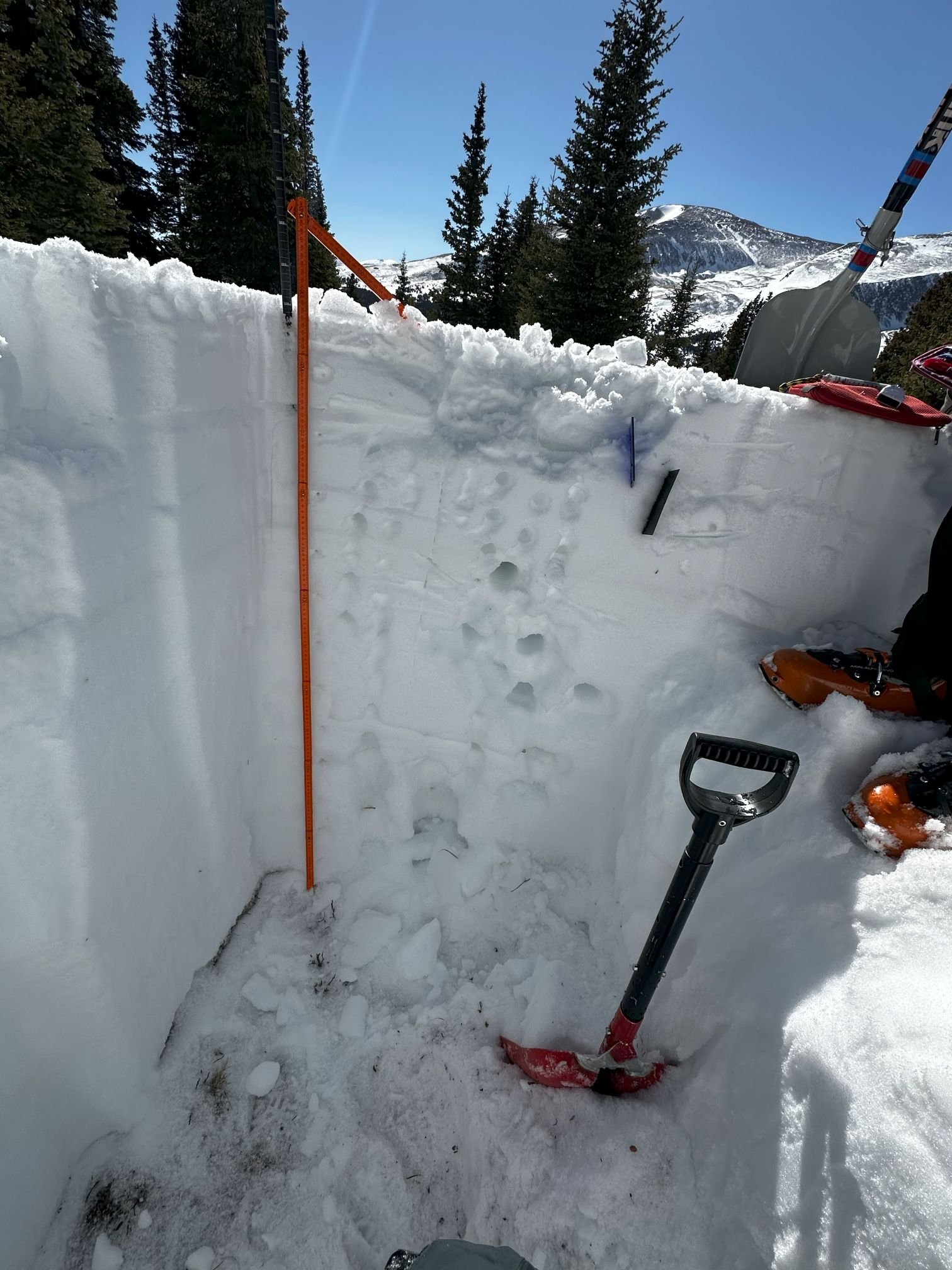
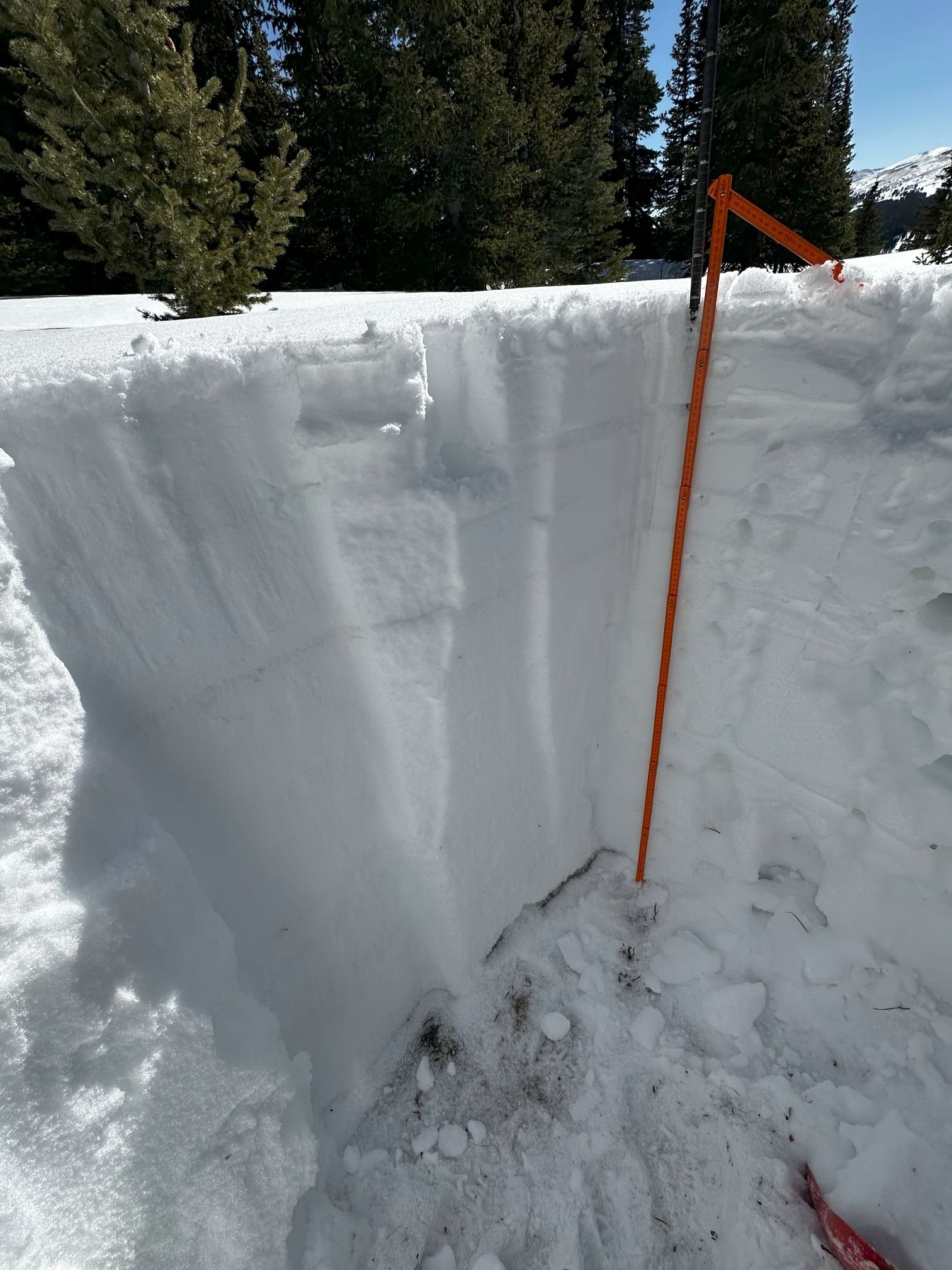
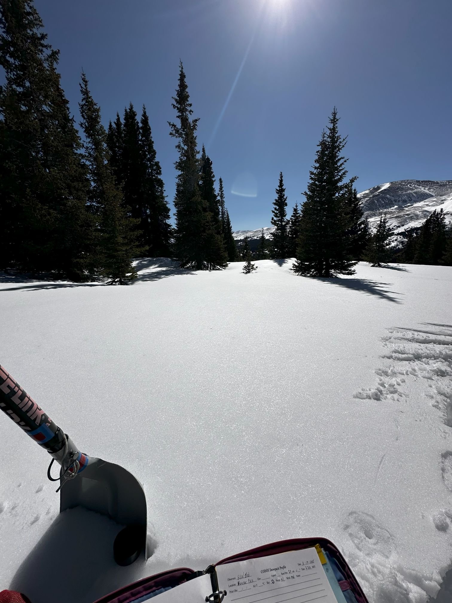
hoosier: March 10
For Hoosier, snow depth was at 4.3’, SWE was 13.9”. and density 280 kg/m^2. There is a very faint dust layer at a bit over 1’ below the surface, barely distinguishable. Nearby Hoosier SNOTEL was reporting 12.4” SWE.
Grizzly Peak (Loveland PAss): March 11
Snow depth was 5.2’ as 17.9” SWE. Density 287 kg/m^2. Another very faint dust layer at 2’ below surface. Grizzly SNOTEL was at 16.8” SWE.


Berthoud PASS: March 11
Berthoud’s snow profile was 5.3’ deep. Our measured SWE was 17.1” at a density of 268 kg/m^2. The SNOTEL station was showing 18.6” SWE. No dust was observed at this location. Driving up and over the pass the snowpack gets thin or non-existent pretty quick as you go down in elevation.


willow creek PASS: March 11
Willow Creek was looking pretty clean as far as dust goes. Nothing observed. The snow was 3.3’ deep with 10.9” SWE and a density of 273 kg/m^2. Willow SNOTEL reported 11.4” SWE the day we were doing the profile.


RABBIT EARS PASS: March 12
Rabbit Ears was looking near normal with a snow depth of 6.2’, SWE of 23.9” and density of 312 kg/m^2. Rabbit Ears SNOTEL was reporting 21.6”. Driving across North Park and into Steamboat Springs, snow conditions look “normal” with good coverage and depth through the region.


spring Creek PASS: March 13
Spring Creek had a snow depth of 2.7’ with a SWE of 7.1” which results in a density of 222 kg/m^2. And no dust was observed either. Snow coverage was decent driving up from Lake City and onward down the Rio Grande valley. Slumgullion SNOTEL was showing 10.7” on March 13.


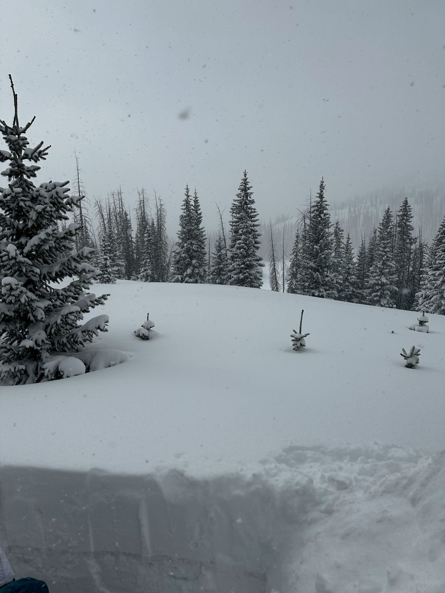
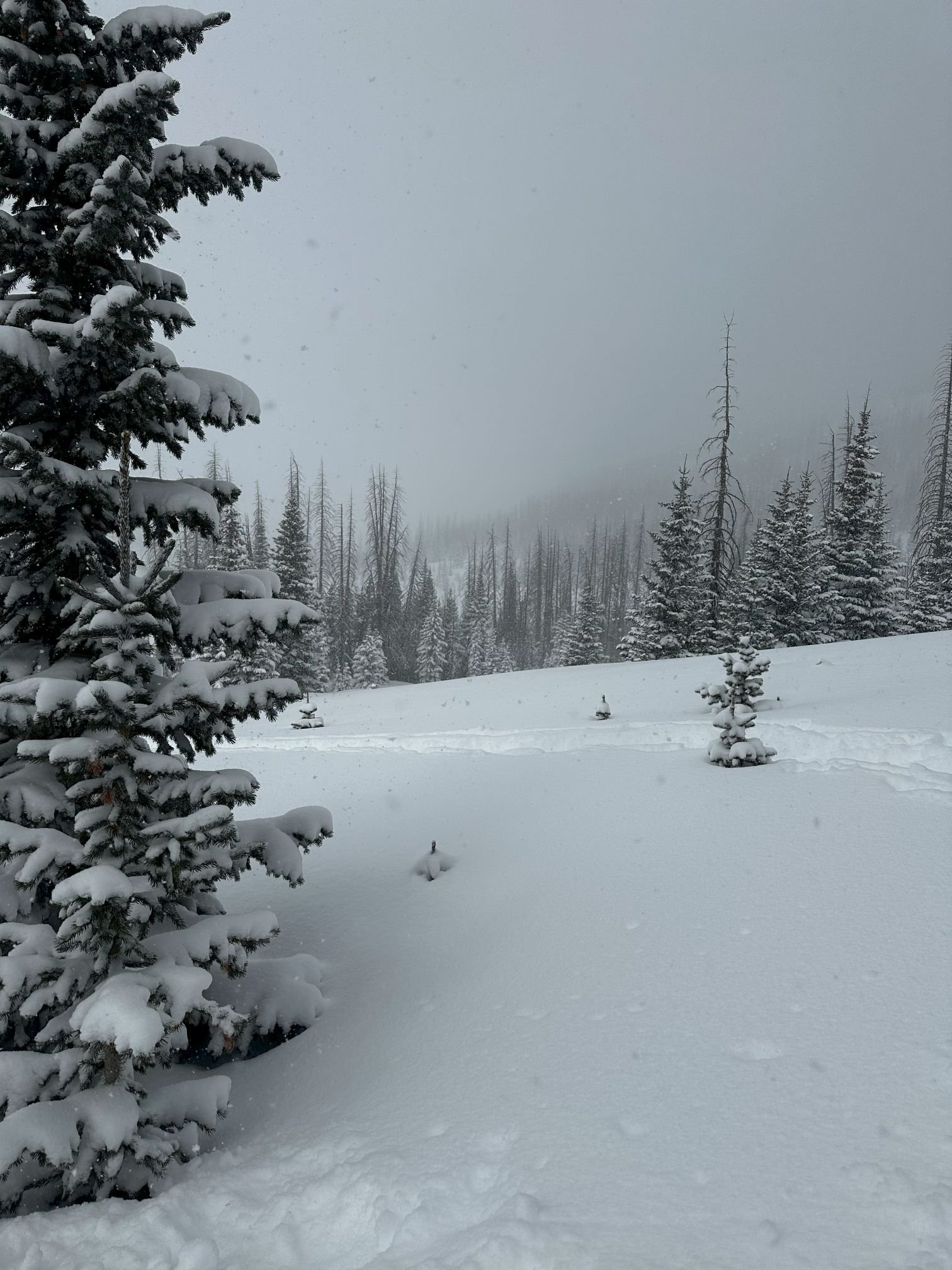
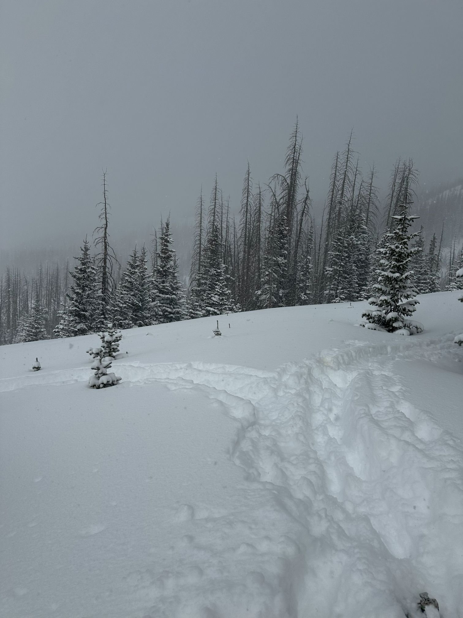
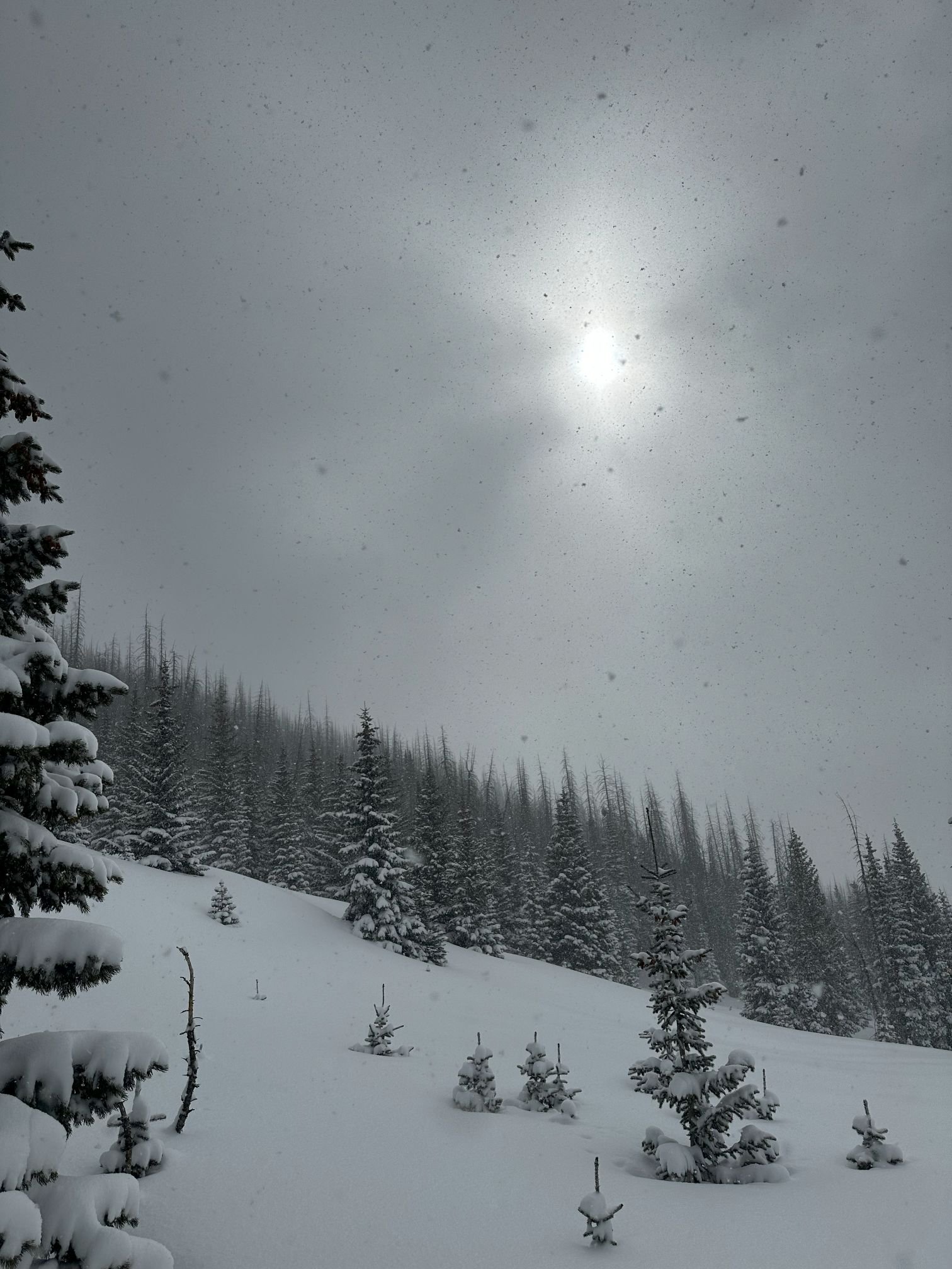
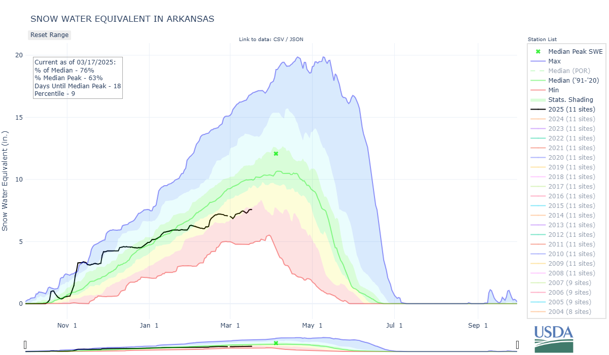
WOLF CREEK PASS: March 14
A short, but intense storm came through southern Colorado on Thursday night (March 13) and was still in full swing Friday morning when we were at out Wolf Creek summit sampling location. The little storm packed a punch, as we observed 17” new accumulation that weighed out to be 1.2” SWE. The snowpack as a whole was 5.3’ deep with a total 16.5” SWE and density of 263 kg/m^2. The snowpack was much shallower than what we are used to, without the new accumulation it would have been only 3.8’ deep. Very low for this site. Nearby Wolf Creek SNOTEL was reporting 17.0” SWE, within 1/2” SWE as our snow profile.