CODOS Update March 6, 2022: More Dust (#3)
Greetings from Silverton,
Late afternoon on Friday another dust event was kicked up in New Mexico (maybe a little in Northern Arizona) and a large amount found it's way to the San Juan Mountains. A dust storm warning was issued for northern west/central New Mexico at 4 pm on Friday March 4, 2022 with reports of a wall of dust along a line from Farmington to Lake Valley with less than quarter mile visibility. Shortly thereafter the dust was in Southern Colorado.
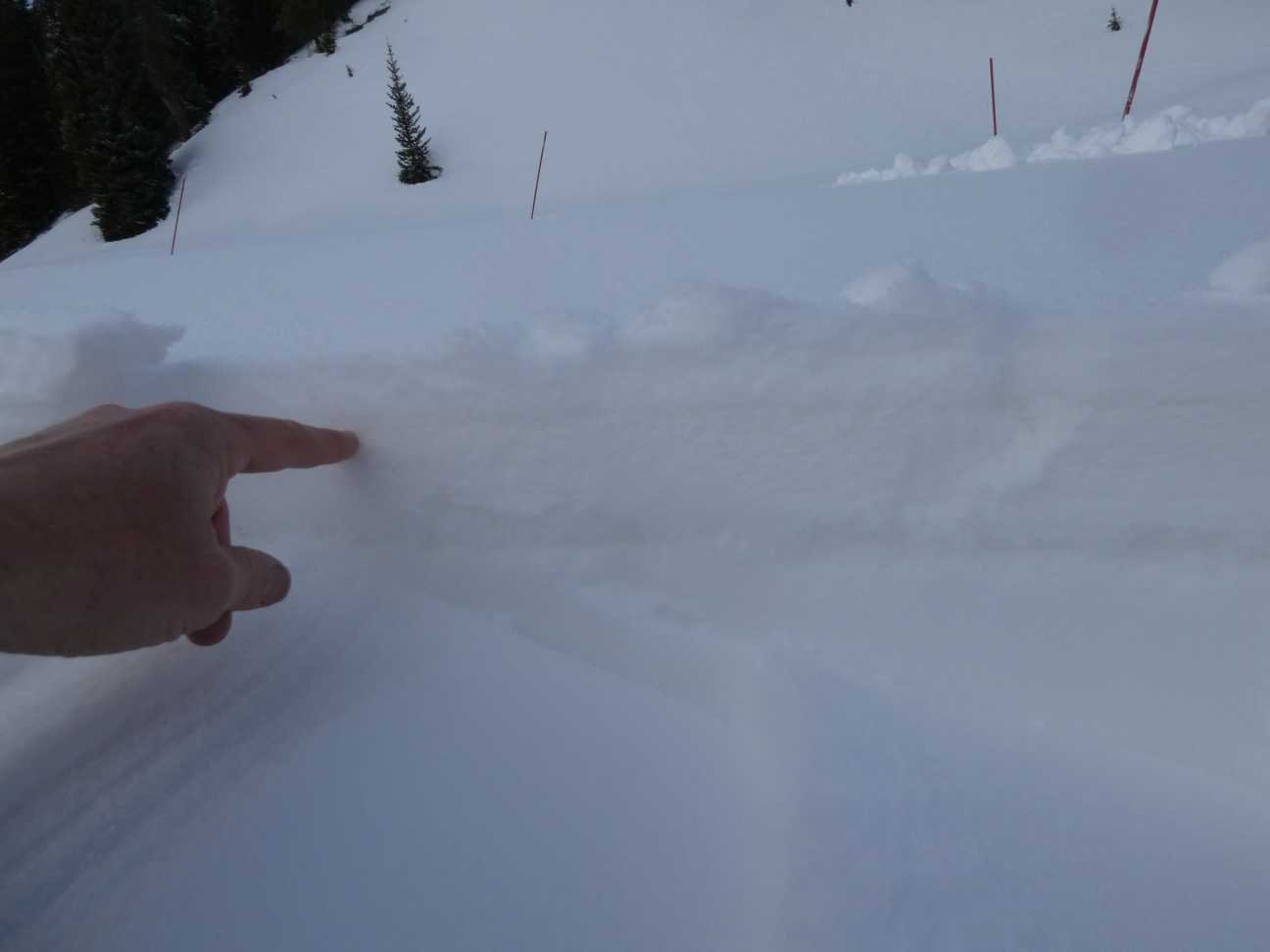
The dust is a distinct ~1" band in the snowpack about 1” below surface as of March 5, since that time is has been buried by a further ~8” snow accumulation.
Hopefully the current storm coming through Colorado will bury the snow a good amount further since over this past hot week we have seen dust event #2 come to the surface at Lizard Head Pass and elsewhere in the Dolores, San Miguel, and La Plata county region. With the addition of a significant D3 to a very significant D2 and D1 in this region, it is looking more likely Southern Colorado, at least, may have severe dust on the snow surface the majority of spring, at least when these dust layers surface. Dust is most likely to occur on the front edge of an incoming storm event, and as we head toward peak accumulation any further dust will be placed near the surface of the snowpack, greatly increasing snowpack warming and melt. But dust be damned we need snow, pray for snow.
This is the season we monitor the snowpack very closely as conditions can change daily. More soon.
Take Care,
Jeff Derry
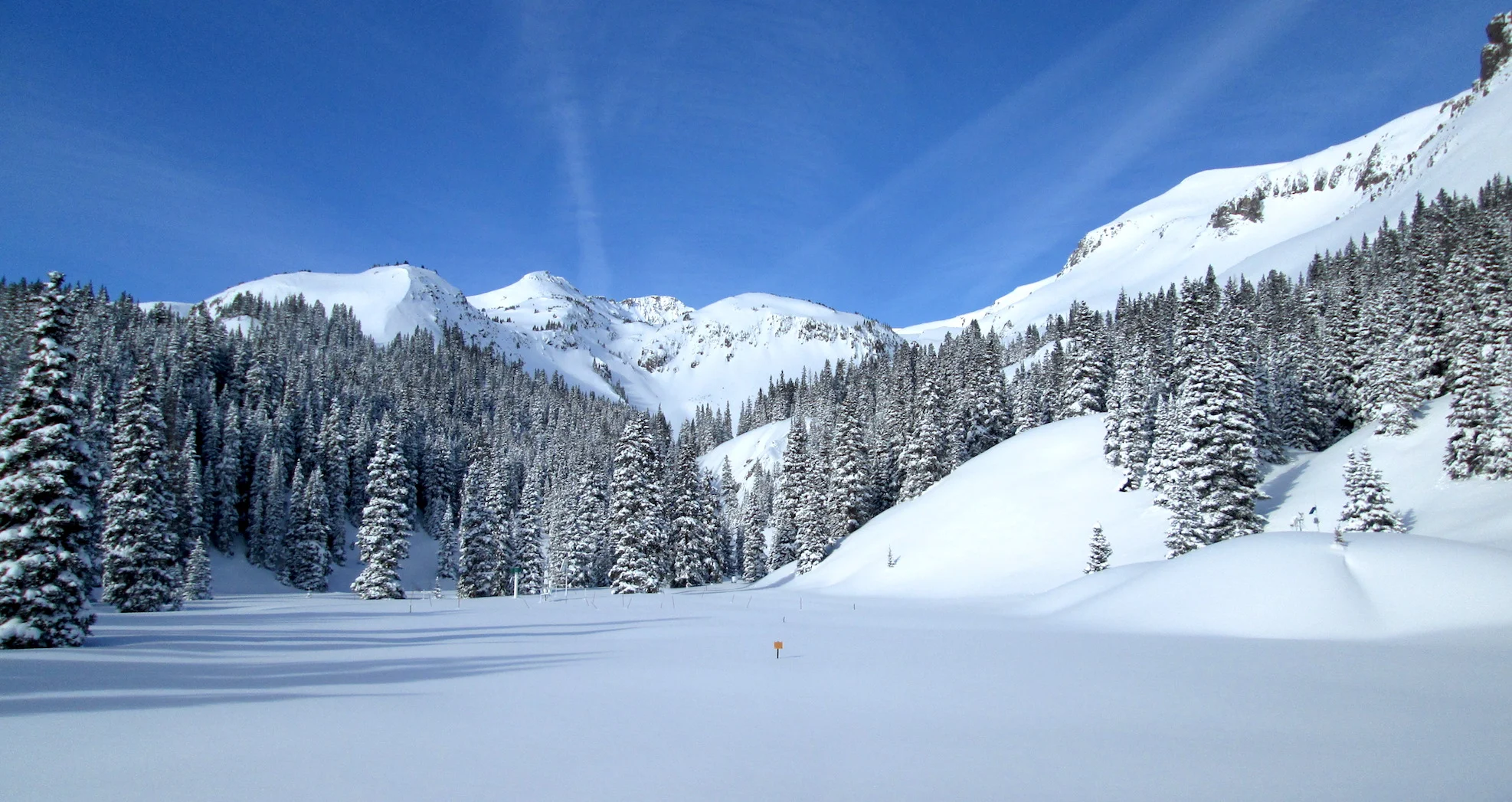
Dust event #3 at Swamp Angel
Wind rose of dust event #3
Melted sample of dust event #2 on Feb 21, 2022.


