
Greetings from Silverton,
The ridge that was sitting over much of the West that had us pinned down, making us suffer a mostly dry and warm February, has finely moved on. Yesterday and last night a passing, wet storm has deposited approximately 1' of new snow at Swamp Angel Study Plot. The next system will be near the California/ Mexico border tonight and may bring minor snow accumulations Tuesday and Wednesday. Other storms are sitting over the western and central Pacific Ocean, so it seems that we have a basic Spring pattern in place, and, while the strength of the El Nino is predicted to decrease in boreal spring, it is probable (according to NWS) that El Nino conditions will remain strong most of March....We'll see.
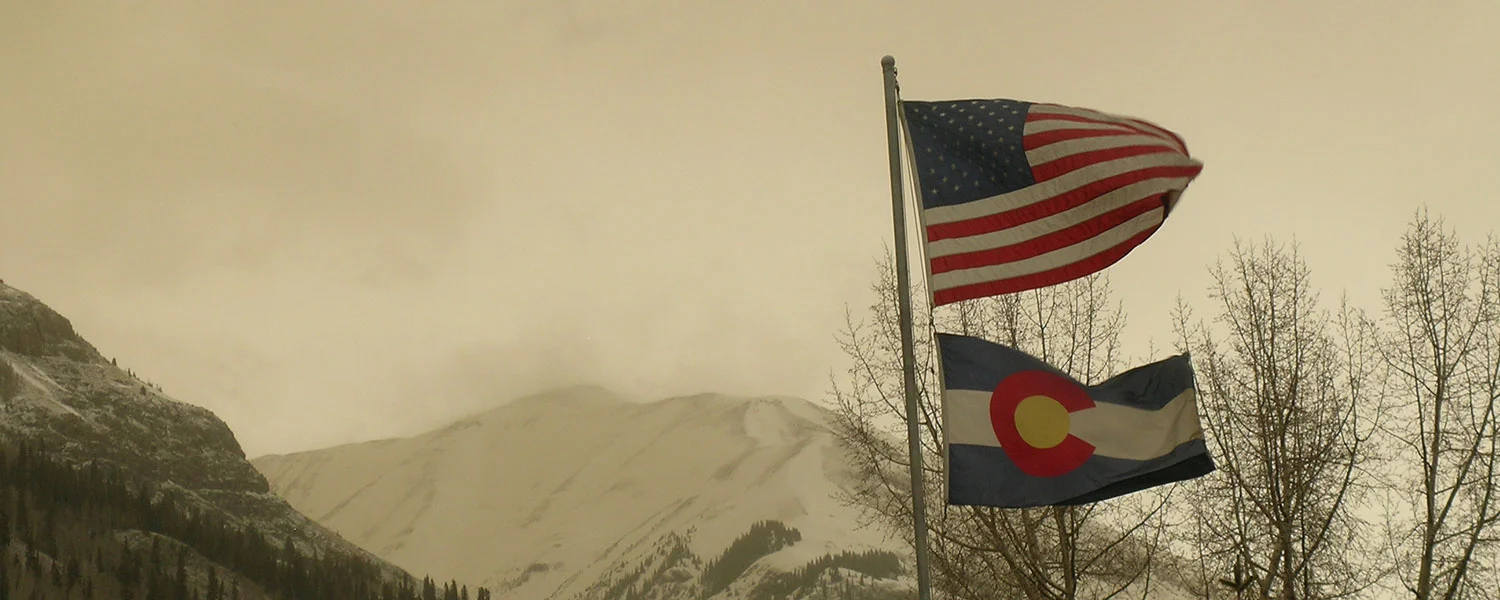
There was a heavy haze "event" on Wednesday, March 2 that was clearly visible from the Montrose and Ridgway areas. USGS cameras located in Utah and Colorado showed dust in the air, but very minor. Wind gusts of 21-37 mph out of the NW-NNW were experienced across the Ridgway, Montrose, Grand Junction, and Blanding, Utah region. At Senator Beck we saw 42 mph average wind speeds with peak gusts of 62 mph. The haze event was not detected in our Study Basin. We will be heading out next week on our state-wide CODOS tour and will have a full report upon our return.
Storm #15 report will be sent out as soon as there is a break in the current storm. Please let me know if you would like to receive our Storm Reports through e-mail.
More Soon,
Jeff Derry