CODOS UPDATE may 1, 2024: albedo reset
Greetings from Silverton,
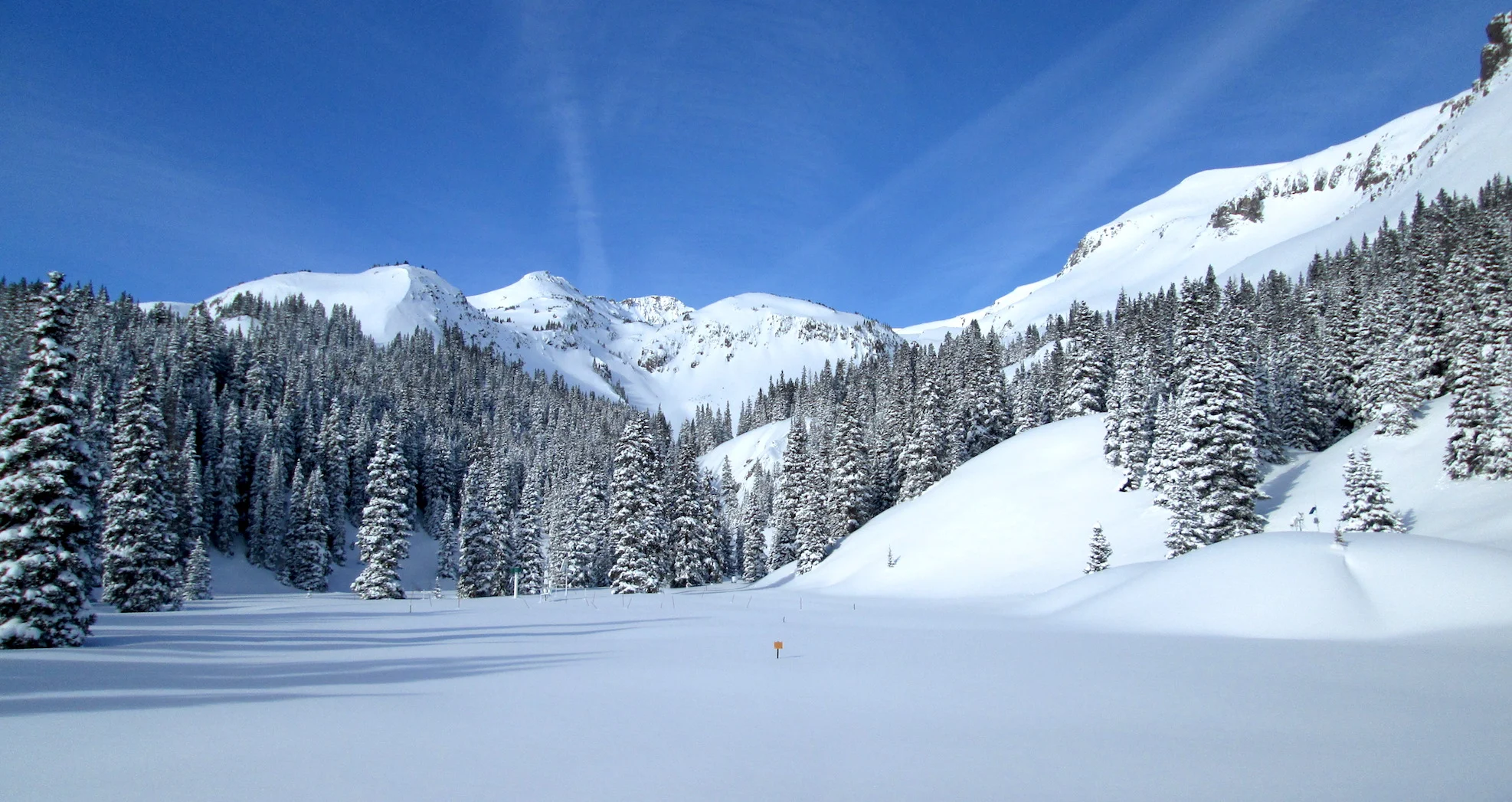
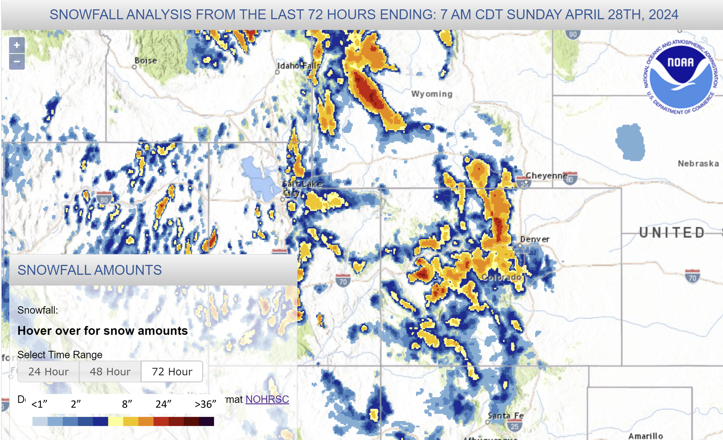
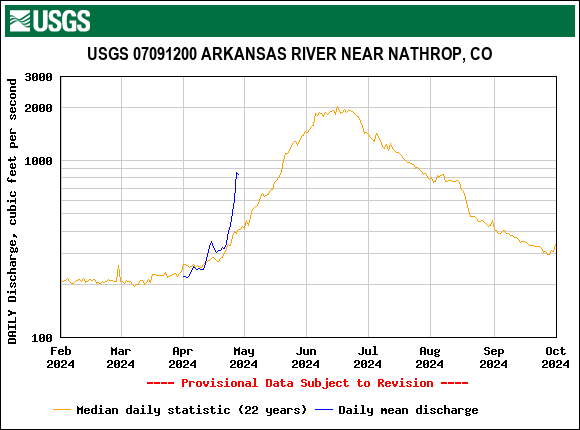
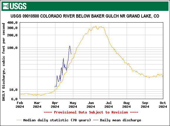
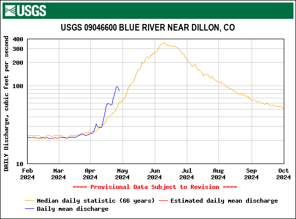
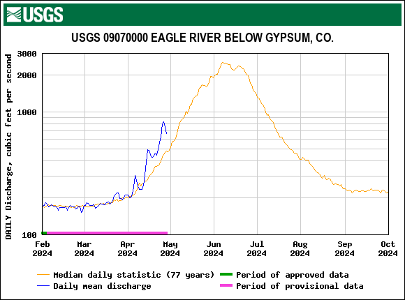
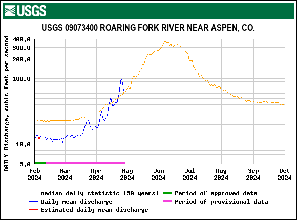
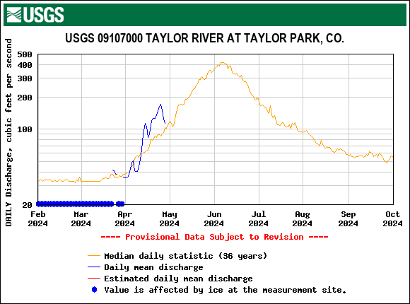
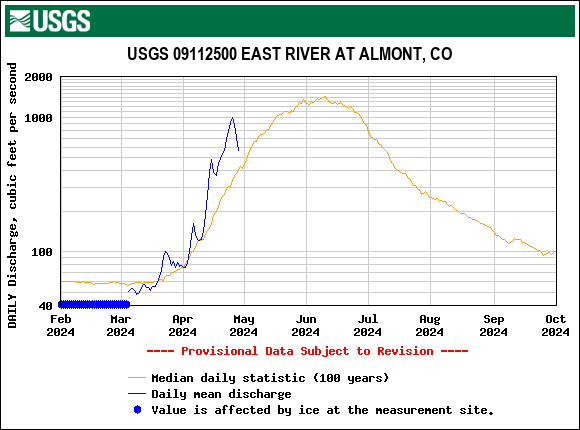
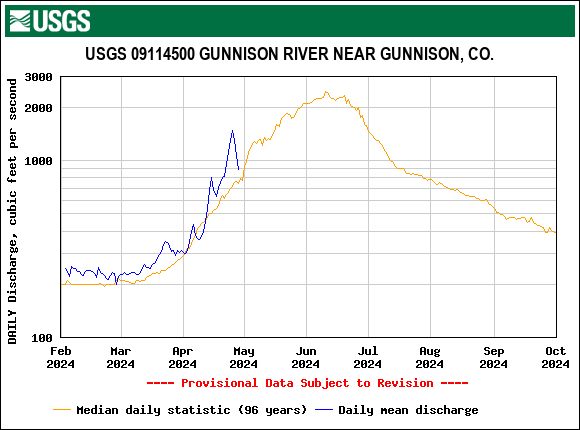
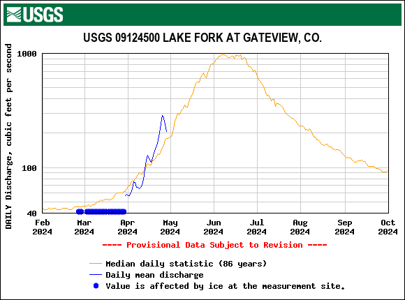
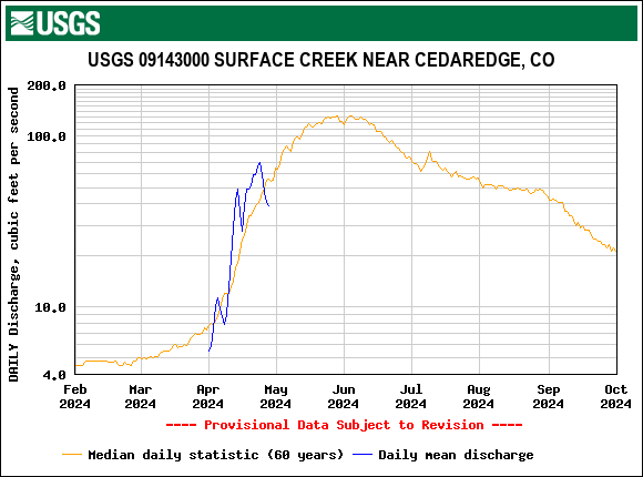
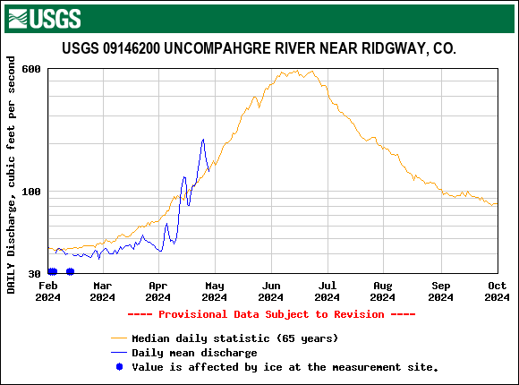
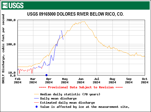
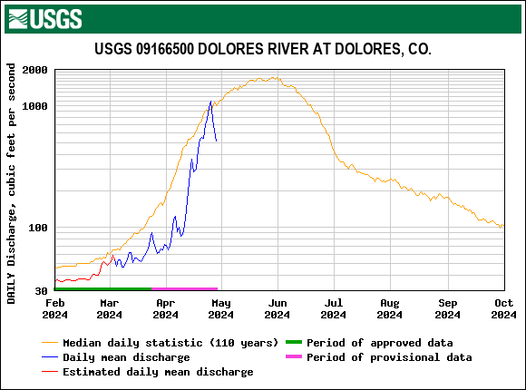
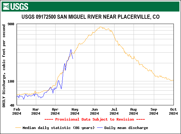
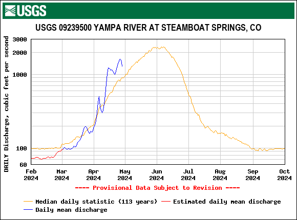
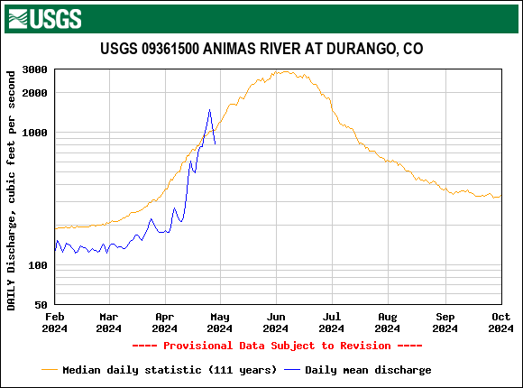
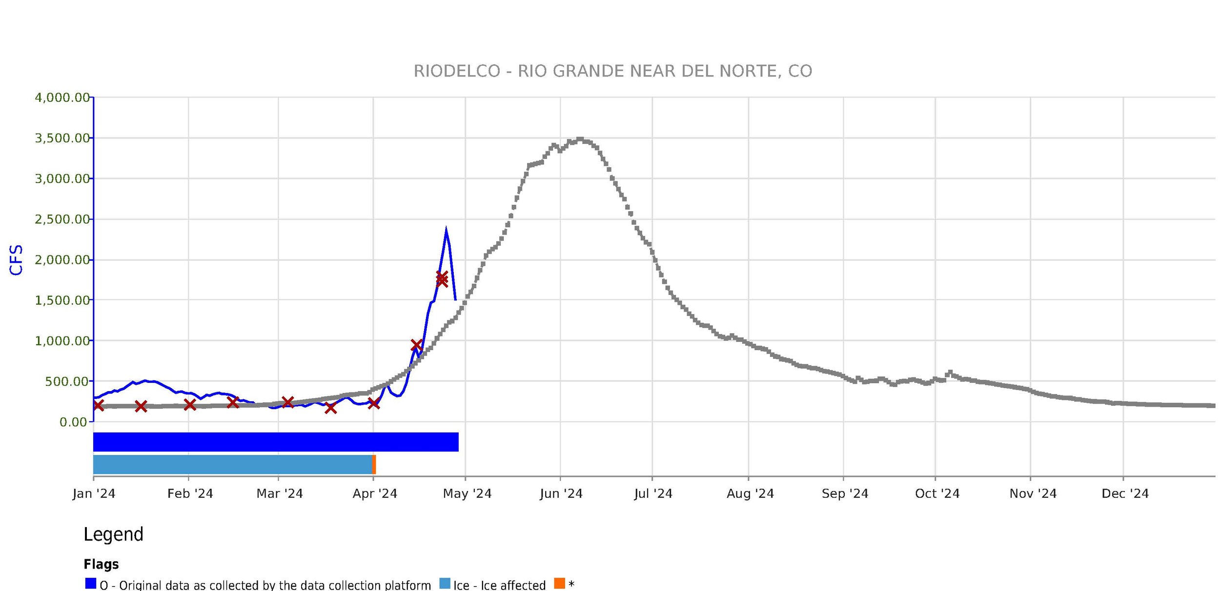
After a long stretch of warm/sunny conditions with dust exposed on the surface of the snowpack (mainly in the southern half of Colorado), the weekend brought the mountains a nice albedo reset and an additional bit of precipitation. Snow accumulation varied from around 8”-12” with the Northern Front Range mountains getting even a bit more. At Swamp Angel at Red Mt Pass we observed 1.2” precipitation as a wet ~7.9” of snow accumulation. This will serve as a brief reprieve from the rapid snowmelt we been seeing. To get an idea of where dust lies in the snowpack in your neck of the woods, reference our report from our codos tour April 18-20 where we noted dust location and consider snow depth and SWE gain/loss from nearby SNOTEL stations since our visit. One of the reasons we collocate our sampling locations with SNOTEL stations is to augment each of the respective datasets.
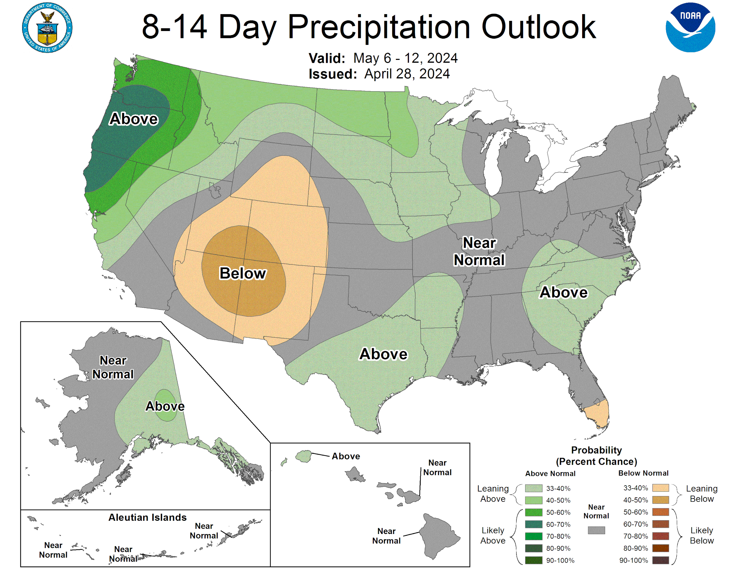
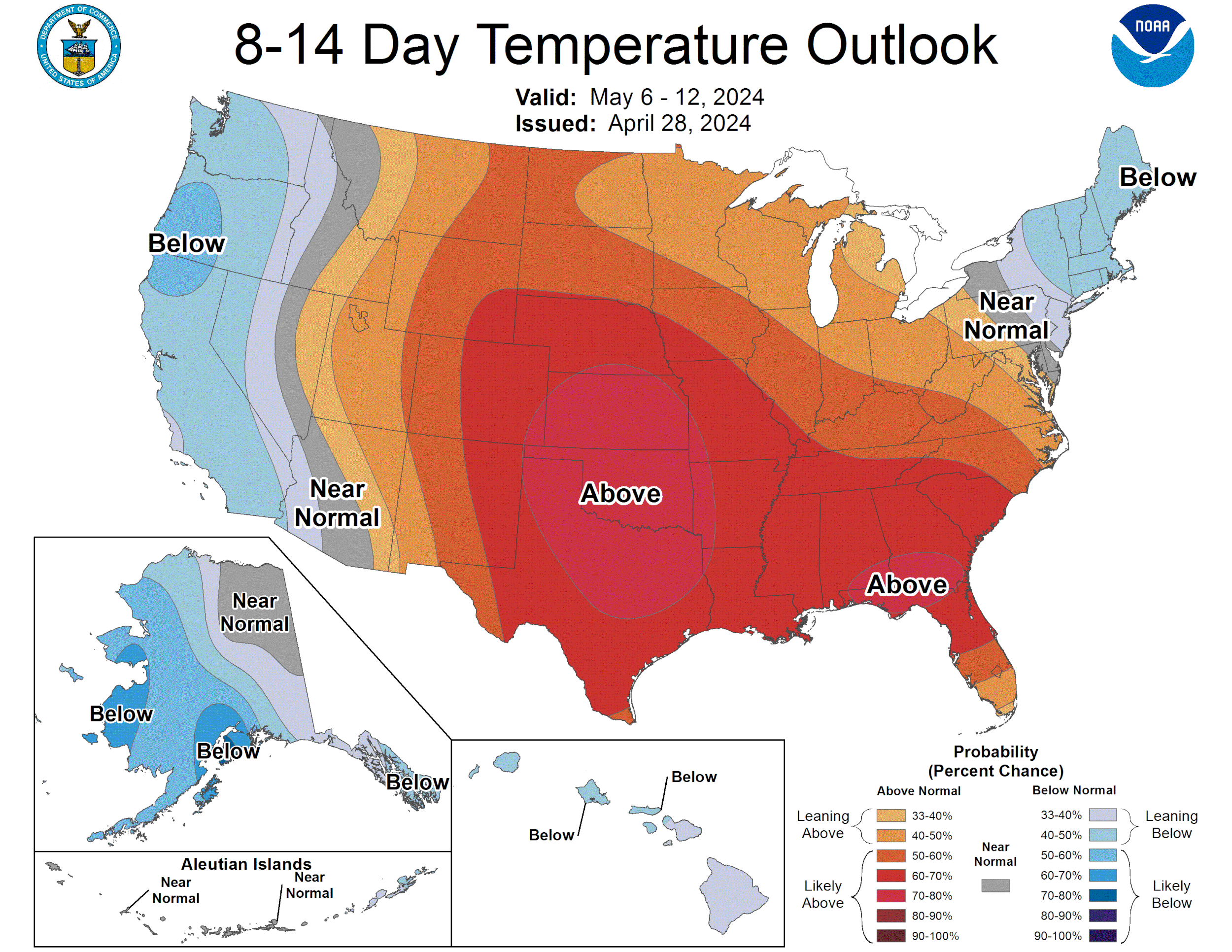
There doesn’t appear to be much in the forecast to get excited about, particularly for the southern half of the state. As we see warm/sunny conditions return look for that topmost dust layer to return to surface pretty quickly. And as snowmelt progresses it won’t be too long before the second, even dirtier, dust layer (that exists statewide) emerges and joins the uppermost layer, cranking up snowmelt even more. Dust severity may be about average this year, except for the Roaring Fork region where it is severe, but that does not necessary mean an “average” melt season. When dust persistently stays at the surface of the snow and spring weather is warm/sunny it wreaks havoc on the snowpack. This season worrisomely resembles WY2022 in many respects and we even have (had) more snow and less dust this year.
Take Care,
Jeff Derry
Below: Snowfall over the weekend.
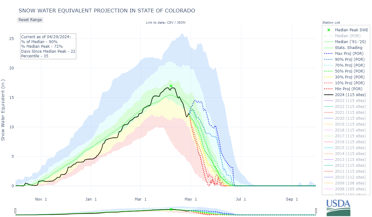
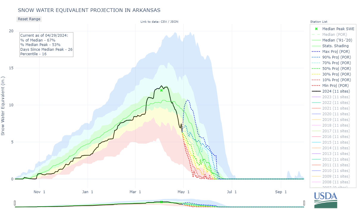
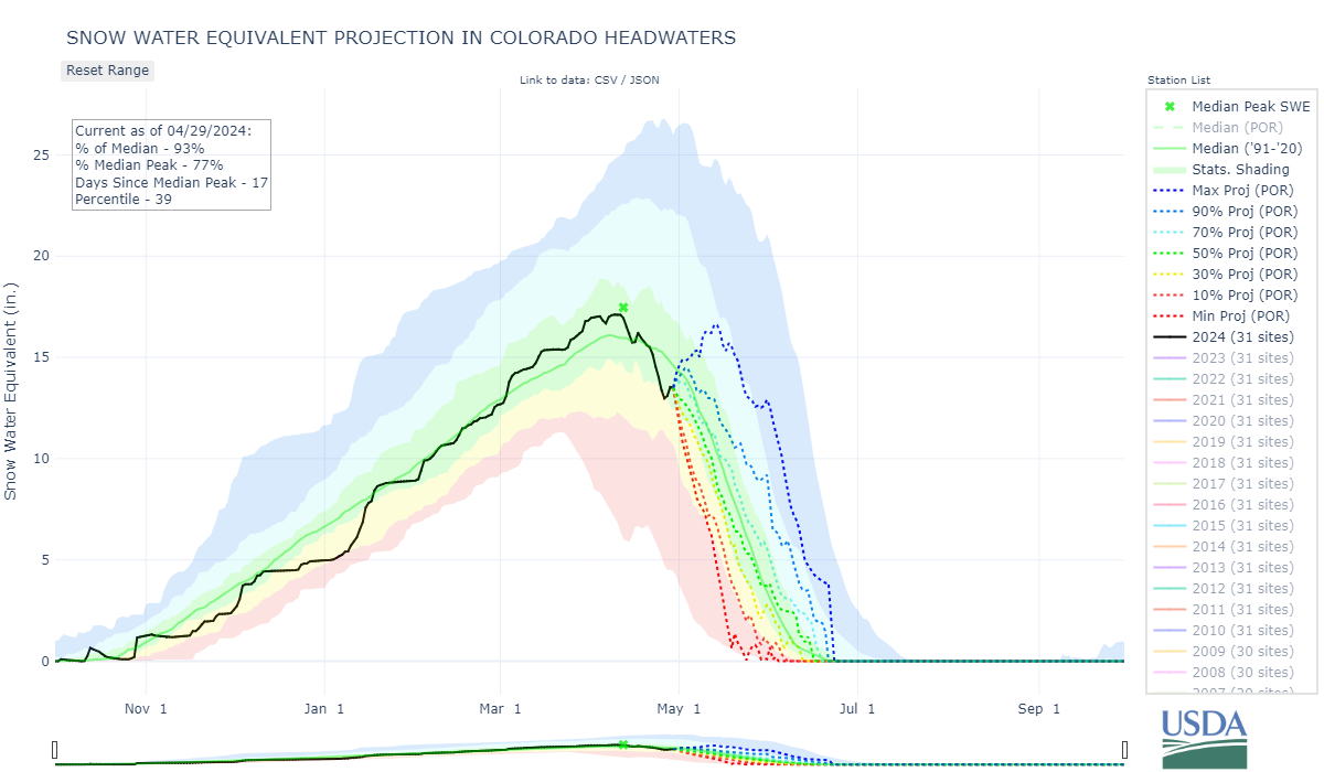
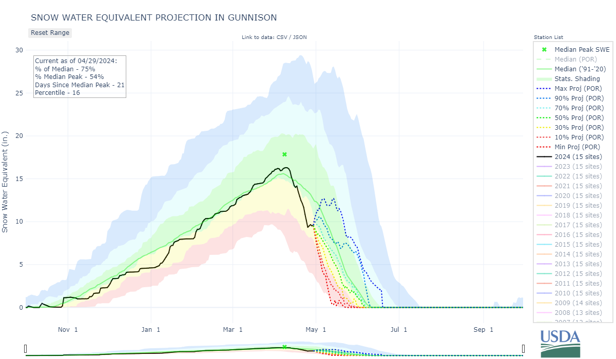
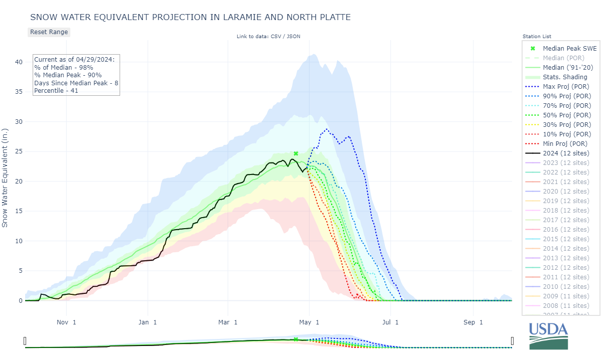
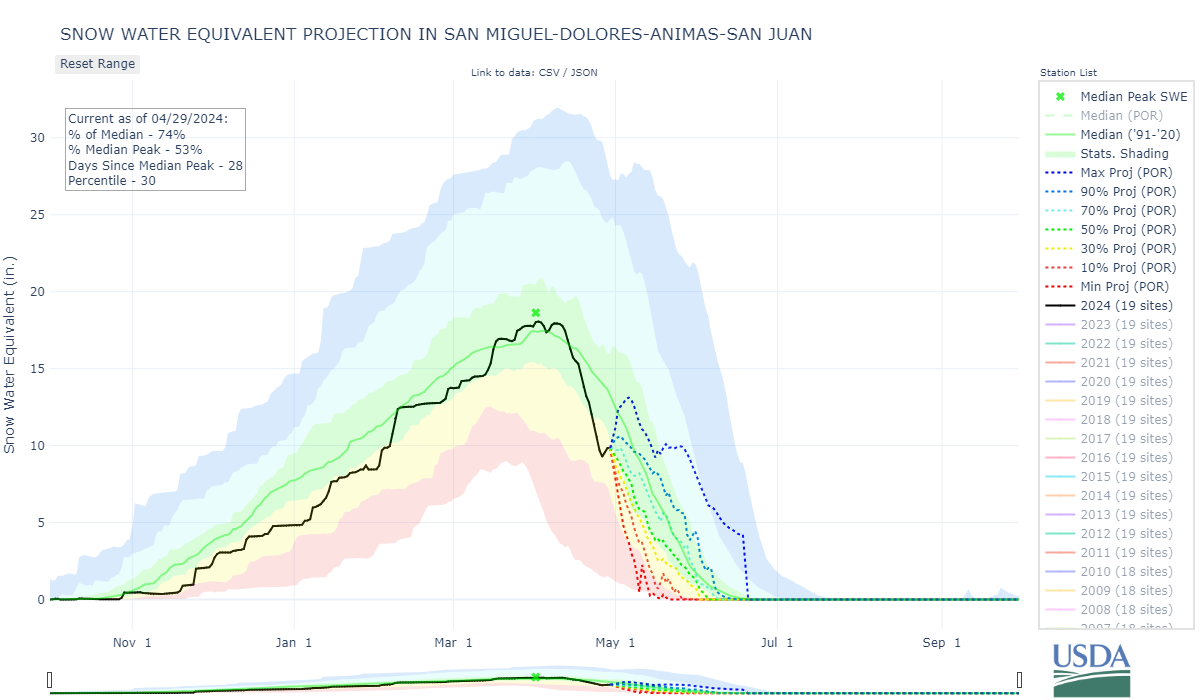
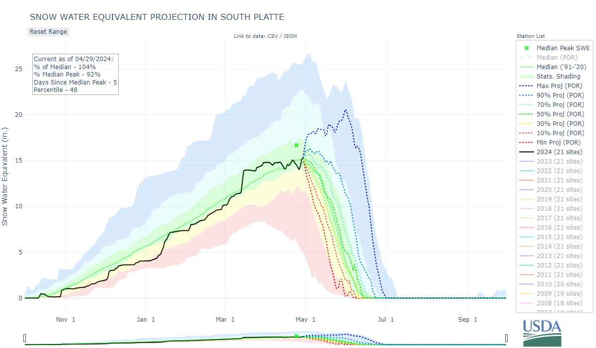
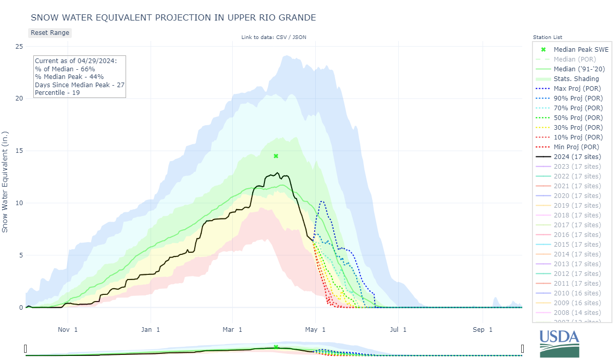
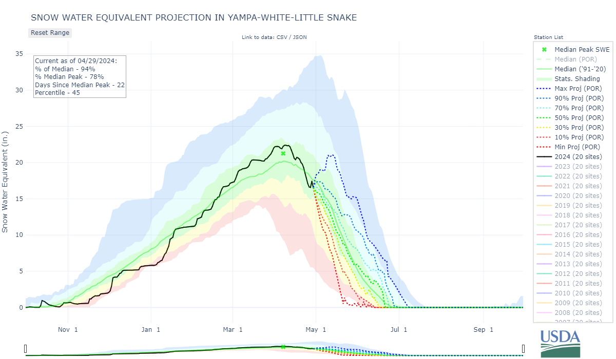
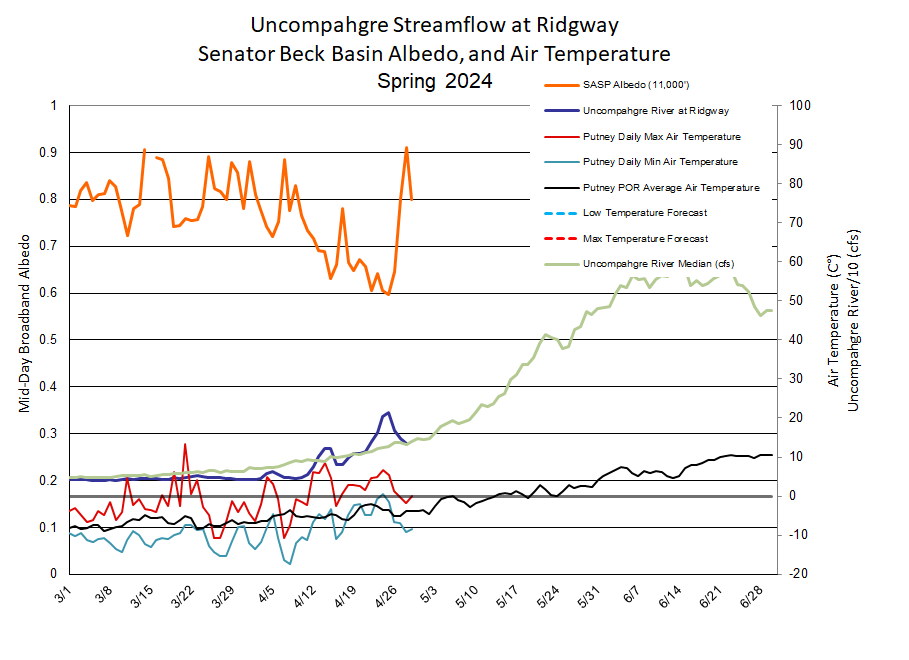
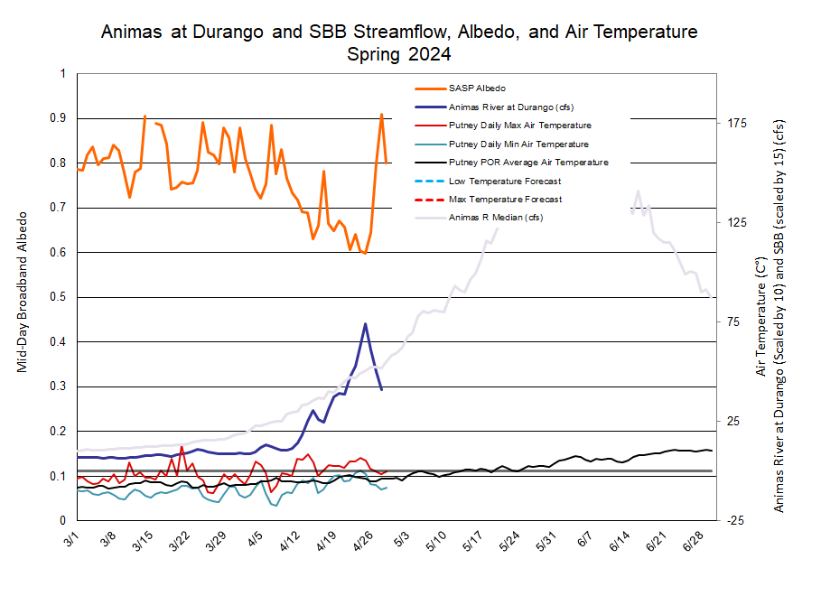
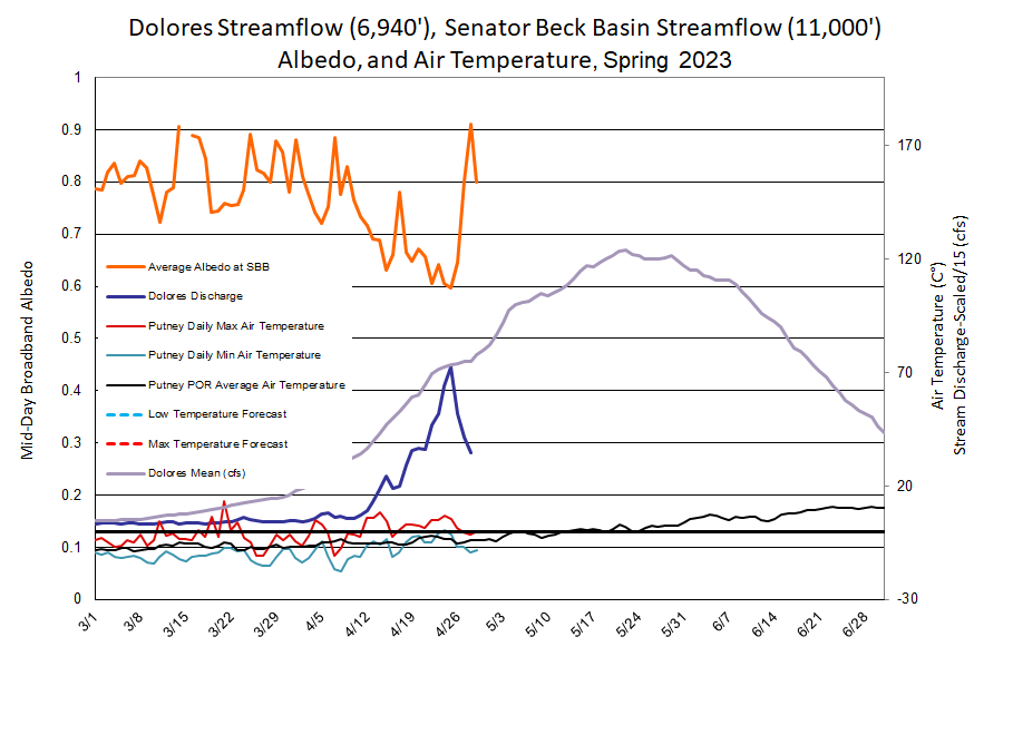
Below: With the fresh snowfall albedo jumped up, meaning the snow surface regained a highly reflective surface, sending the warming rays of the sun back into space. With spring conditions look for albedo to degrade quickly exposing the dust layer which will crank up snowmelt again, and at even a greater rate.
