

CODOS Update May 10, 2022: Another Day, Another Dust Event
Greetings from Silverton,
Not much has changed over the last few days. It is still windy and warm. The hydrographs saw a small blip in discharge from a small blip in albedo and cooler temps for a couple days. We keep getting dust pretty much daily. Sunday night we saw a massive dust event that hit not only southern and central Colorado but Steamboat was hit pretty hard and it kept going as far as Nebraska.
The forecast calls for more blowing dust and no precip for at least the next 7 days. At Swamp Angel on May 5 we observed 14.3” SWE, and on May 10 we observed 8.7” SWE, a loss of about 1.1”/day. Our higher monitoring site at 12,186’ is losing snow at a fast pace as well.
Please see pictures and plots below.
Take Care,
Jeff Derry
Below: The NWS posted on Twitter these images of airborne dust on Sunday night (May 8) which show the event well. The left image was at 5pm and the right at 9pm. You can see the dust becoming mobilized in a number of areas in northern NM, AZ, and a bit in southern Utah. The right image shows how the dust traveled and dispersed as it made it’s way towards Nebraska. See current images on the NWS website. Twitter @NWSGJT.


Below: Photos from the field near Ophir Pass on May 8. Photos courtesy of Omar Behery.


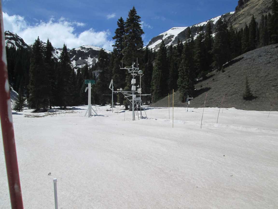
Below: Pictures from Swamp Angel on May 10.


Since the last pit on May 5 SWE dropped from 14.3” to 8.7”, about 1.1”SWE/day.


No relief in sight.