CODOS UPDATE March 25, 2025: Dust from March 18 event, Swamp angel Observations
Greetings from Silverton,
We finished our statewide tour documenting dust in the snowpack on March 17th and we observed very mild dust conditions throughout Colorado. We must have jinxed things because on March 18th, a storm came through the southwest bringing strong winds that kicked up a lot of dust. The winter storm got going on Red Mountain Pass March 18th, with the winds coming straight from the south the evening before and peak gusts of over 80 mph. Midday on the 18th, the winds then switched to come in from the west. Dust was visibly airborne on the satellite imagery over barren lands in Utah starting the evening of March 18th (see below). You can see the storm report here. This storm stayed south and barely clipped the southern part of the state, but still a good amount hit the Colorado mountains.
At Swamp Angel, we found the new dust layer 33 cm / 1 ft below the snow surface (snow height of 181 cm / 5' 11”), with 87 mm / 3.4” of SWE above it. The lower dust layer is about 84 cm / 2’ 7” below the snow surface. Total SWE from the snow pit was 548 mm (21.6”). The met station values were depth of 181 cm (6’) and SWE of 606 mm (23.9”).
Below: Satellite imagery showing the dust event on March 18. There was cloud cover over Colorado during the storm so it is difficult to ascertain the severity and extent of the dust. The first part of April the CODOS team will conduct another tour of Colorado to determine the extent/severity of this and any other events that might occur. Dust is shown in magenta in the Worldview image and yellow in the GOES-16 image.


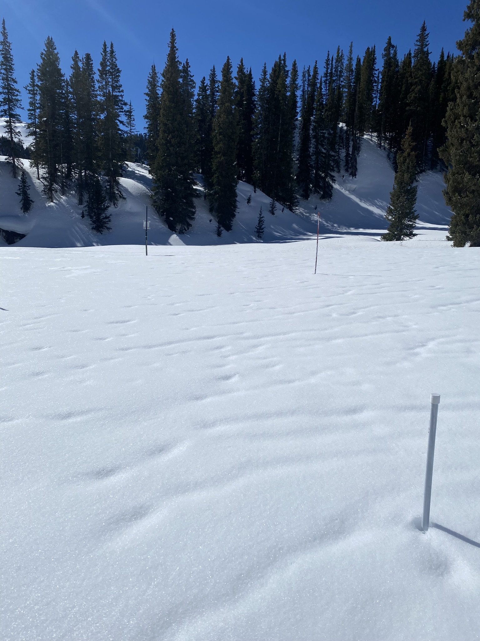
Above: Images from the most recent snowpit at Swamp Angel, 3/25/2025.
Above: Swamp Angel snowpack profile from 3/25/2025.


