
Summary
CODOS sites at Park Cone and McClure Pass and their adjoining Snotel stations in Gunnison River headwaters have lost all snowcover even while the Schofield Pass Snotel retains most of its above-average Peak SWE. Overall, subalpine snowcover throughout the Upper Gunnison Snotel network is largely consumed. Where snowcover remains, dust event D8 is presumed to have enhanced ablation of recent snowfalls, re-exposing underlying dust layers D3-6/7, as present. With new snow restoring higher snow albedo to that remaining snowcover, the most recent surge in the main stem Gunnison River, East River, and Lake Fork watersheds runoff was disrupted by Memorial Day weekend weather and leveled off at levels already well above or at median peak discharge values. However, that generally thin layer of new snow will quickly melt as underlying dirty snow absorbs increasing solar energy this week and runoff surging will resume in those locales. Alpine snowcover will sustain the remaining runoff in the Gunnison main stem but, given a prolonged period of dry and sunny weather, dust-enhanced snowmelt rates could result in early onset of the declining limb of the hydrograph. In the North Fork of the Gunnison River watershed, prior episodes of high intensity, dust-enhanced snowmelt runoff have consumed the majority of snowcover and the center of runoff mass may have already passed the USGS gauge at Somerset. North Fork flows may once again surge to a high level but this surge may be followed by a steep decline as the remaining snowcover is rapidly consumed.
Snowpack and Dust Layers
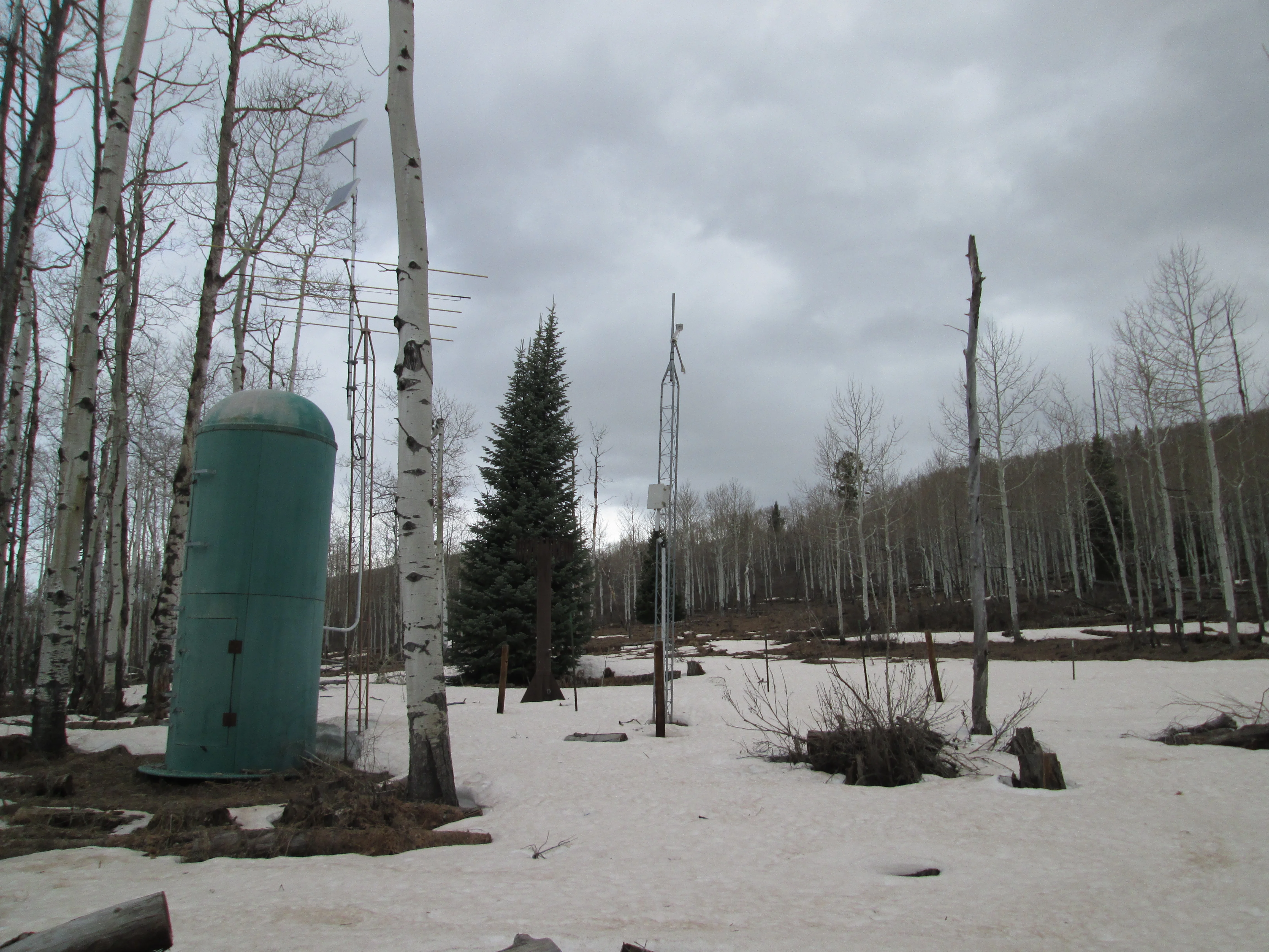
Snowcover at the Park Cone and McClure Pass CODOS sites was shallow or “all gone” during our last CODOS circuit in late April, as seen below.
The McClure Pass Snotel station with very thin snowcover, and the dry CODOS snow profile slope in the distance, directly behind the center mast.
Given evidence of dust layer D8-WY2014 seen in recent images from Grand Mesa and Independence Pass, dust-on-snow event D8 is presumed to have been deposited, on May 11, near the top of the remaining snowcover throughout the Gunnison River and North Fork of the Gunnison River watersheds. Shortly following deposition, that D8 dust quickly emerged and enhanced the ablation of underlying clean snow deposited in late April and early May, revealing and joining merged dust layers D3-6/7 on solar aspects. That ongoing process was interrupted by the Memorial Day weekend snowfall, and is always somewhat slower on northerly aspects, but will once again accelerate as the new snow layer is ablated early this week.
Snotel
Above: Upper Taylor Snotel SWE and Precip graph
WY 2014 snowpack development in the northern Gunnison River watershed Snotel network was very good, with most Snotel sites reporting above-average Peak SWE, on-or-about the median date of Peak SWE. And, as reported by local observers, snowcover was exceptional at the far eastern edge of the basin, at Monarch Pass. Even the southern edge of the upper Gunnison basin produced an average snowpack, as recorded at the Slumgullion Snotel.
Now, in late May, snowpack at lower Snotel elevations and below is largely consumed (or actually “all gone”, as at McClure Pass, Park Cone, and Upper Taylor). Snowcover at/near treeline and/or in thick forest cover (as at Schofield Pass and Slumgulion Pass Snotels, respectively) and in alpine terrain above the Snotel network remains as the primary source for sustaining the remainder of the WY 2014 runoff cycle. Snowcover is isothermal in those areas. As and when snow albedo is reduced by the emergence of merged dust layers D3-8, these remaining snow covered areas will undergo rapid snowmelt under increasingly long days and high sun angles, as well as increasing air temperatures.
Hydrographs and Weather Forecasts
Ascending limbs on WY 2014 hydrographs throughout the upper Gunnison basin display several similarly timed, dust-enhanced surging episodes including a new surge currently underway (but stalled). Those surges (and subsequent retreats) were of high amplitude, and discharge in the East Fork, upper Gunnison, and Lake Fork watersheds frequently exceeded median daily levels by very high margins in April and early May. Even with above-average snowcover, these early surges consumed a considerable fraction of the basin SWE (as indicated in the basin-scale Snotel plot above) and advanced the runoff cycle’s timing. Whether this current surge or preceding surges contained the center of upper Gunnison Basin runoff mass is difficult to assess. In any case, sustained exposure of merged dust layers D3-8 for the remainder of May may produce a somewhat earlier-than-average peak in WY2014 discharge while rapidly ablating the remaining snowcover, on solar aspects first and northerly aspects last. Much of the alpine terrain in the Slate River, East Fork and Taylor River tributary watersheds does face east, south, or west and experiences strong solar exposure.
Similar April and May surging episodes were recorded in the North Fork of the Gunnison River watershed. Surge peaks in April also substantially exceeded median values for the date. The North Fork and Muddy Creek runoff timing was quite advanced and produced the runoff cycle’s peak flow in late April, several weeks earlier than the median peak flow date. Center of runoff mass may have followed shortly thereafter in the North Fork. The West Elk Mountains do include significant north-facing terrain, but other headwaters near McClure and Kebler Passes have a generally westerly aspect.
As of this writing on Monday, May 26, the Memorial Day weekend storm is exiting Colorado and the National Weather Service in Grand Junction anticipates drying, partly/mostly sunny, and unseasonably warm weather approaching 60 degrees at Schofield Pass by mid-week. Some chance for afternoon showers will remain at the high elevations of the Gunnison basin throughout the week. By Friday, some NWS models suggest that residual moisture from Hurricane Amanda could enter Colorado from the south as another weather system brings cooler, more seasonable temperatures at a minimum. In the somewhat longer term, the NWS Climate Prediction Center’s 8-14 day outlooks for June 2-8 foresee some probability for both below-average precipitation and above-average temperatures for western Colorado.