

May 14, 2019: D3 Emerging, Dust Event #4, Warm-up thru Thursday then more Precip
Greetings from Silverton,
A quick recap. April 29 - May 3 we did our CODOS tour noting dust presence near surface at all sample locations across the state. During this same week most of Colorado received a sizable storm that produced 2.3” precipitation here at Red Mt Pass and similar amounts in other parts of the Colorado high country. This spring snow storm at higher elevations, rain at lower elevations, covered the dust layer(s) sitting on the snowpack with a few inches of snow. The forecast then called for a very productive storm hitting Colorado with precipitation estimates in the 4” range here in the San Juans. That May 8-10 storm was a bit of a dud, it produced 0.6” at Swamp Angel, but it did provide at least a bit of added precip and overcast/cooler conditions tapping the brakes on snowmelt for a few days, making streamflows decrease after rising since May 3. That storm moved out on Friday and for the last three days it has been very sunny and warm and getting warmer.
And since Saturday we have been watching the dust very noticeably emerge towards the surface across the Northern San Juans. Around elevations of SASP (11,060’) it is nearly fully emerged in eddies, tree wells, and exposed aspects. At SASP however it is still a few inches below the surface. At these elevations and lower we will see albedo continue to degrade over the next few days, hence continued rising streamflows. Even though the forecast remains variable through Thursday, the high temperatures and slight chances of PM showers likely mean melt won’t be slowed appreciably the majority of the day.
To add to the story we have observed a new dust event (D4) that occurred with the May 1 storm. It wasn’t (isn’t) very noticeable at SASP elevations, being so close to layer D3, but at SBSP at higher elevations it is more distinct. See photos below of slides occurring at this weak dust layer interface. But the story-line doesn’t change in terms of dust presence currently at the surface (near surface) degrading albedo and enhancing snowmelt rates. We are seeing D3 emerging and D3/D4 coalescing at the surface around SASP making for a dust layer that is a bit dustier than before. At higher elevations there is more of a separation between D3 and D4 and we will continue to track its progression as higher elevations progress toward contributing to streamflow.
Looking at SNOTEL data co-located with our CODOS sample sites it appears the snow that was covering dust at these locations has now depleted, indicating dust is now at the surface at all sites except Wolf Creek Pass where it is a few inches below the surface (but likely emerging in certain areas) and Willow Creek and Hoosier where it appears to be on the cusp of emerging.
It all hinges on the weather. With no definitive stretches of nice weather in the forecast to estimate peak streamflows really makes things interesting. The warm-up (10 degrees above normal) is expected to last through Thursday, then a cool down heading into the weekend. Models agree well through Friday but then diverge as to where an incoming low will take hold…….However, as of this morning the forecast calls for the trough moving through western slope Saturday morning with locations above 10,000’ potentially seeing at least 6” through Saturday evening. A weak ridge comes through on Sunday morning before another trough arrives Sunday afternoon. The NWS says this system looks potent and moisture-laden, indicating cooler weather throughout weekend and into next week, with another round of precipitation and late-season snow in store for the higher terrain.
So it appears a warm up until the weekend then likely some snow and an albedo reset. We just inched past peak SWE at Red Mt Pass 11 days ago. With the forecast it looks like significant melt will get pushed back further.
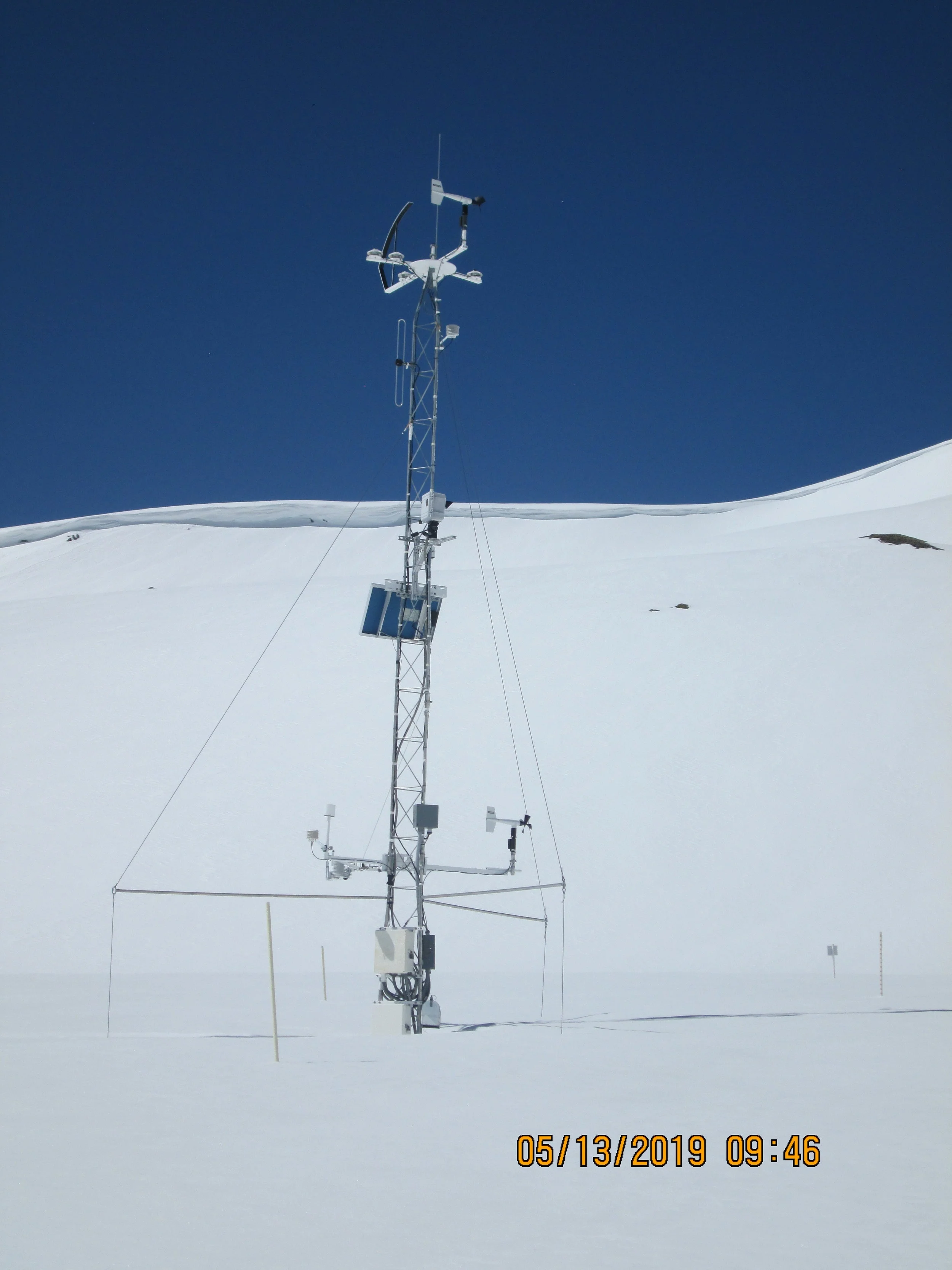
Below: Pictures from our trip to SBSP yesterday, May 13. Note the slides on the weak layer created by the dust layer a few inches below surface. When looking at pictures of SBSP meteorological tower, note there is 2 meters of snow at that site.


Below: After an albedo reset and decreasing streamflows last week, the sun returned on Saturday and albedo began a rapid drop (on Monday albedo at SASP was 55%). Streamflows lagged 2 days and yesterday showed their response to albedo degradation and snowmelt with an upward spike. Snow Covered Area in the Animas is still 77%. SNOTEL’s still showing a lot of snow.

Below: Forecast calls for rising temperatures, including minimum temperatures above zero until Thursday, then decreases sharply. The pretty high confidence of snow in the forecast makes me think an albedo reset coming this weekend.

Below: Did I already say there is a lot of snow out there? Besides the warm up this week, it appears the forecast is to not let much melt happen starting this weekend, and even adding to the snowpack. Maybe my summer will start on Labor Day.

