

May 28, 2019: Another Dust Event, SASP Hits Peak SWE Again, Chances of Precip This Week
Greetings from Silverton,
As June approaches winter continues. Sunday, May 19 thru Thursday, May 23 of last week 2.3” of precipitation in the form of over a foot of snow fell at Red Mountain Pass. Friday began a warm-up for the weekend but Monday ushered in overcast and snowy conditions (0.7” precipitation) that is expected to last thru Thursday. Our snow profile on Monday, May 27 showed 35.6” of snow water equivalent which is the same value we assumed constituted peak SWE on May 5. So we hit peak SWE at SASP twice this winter, and we might surpass that value over the next couple of days depending on the severity of the Winter Weather Advisory in effect as of this writing.
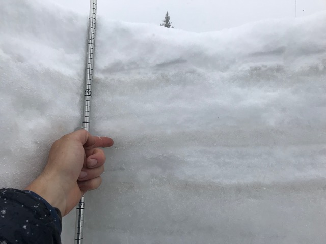
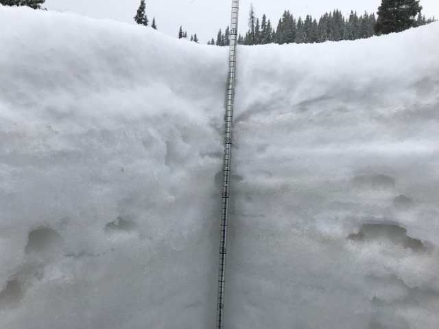
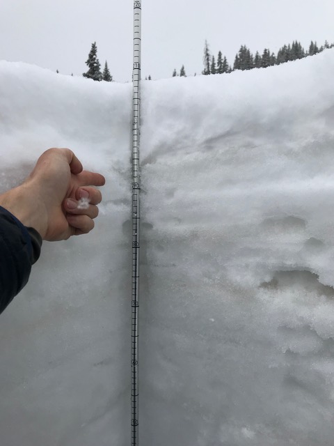
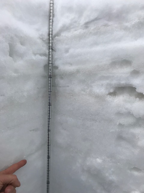
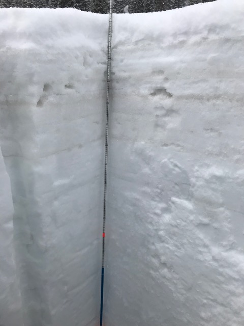
The tail end of the storm last week also brought dust event #7. Pretty much every stormy period the last few weeks has also meant a dust event. Currently, the top 1.6’ of the snowpack contains all the dust events received this winter season. This top 1.6’ accounts for 7” of SWE, under the dust sits the remaining 28.5” of SWE. Once conditions allow, dust layers will merge and be fully emerged on the surface accelerating snowmelt of this 28.5” of water. So far this spring season the snowpack has been added to and snowmelt has been held in check, but extended warm and sunny conditions are likely to arrive at some point. The forecast calls for temperatures to be near normal by late in the week with chances of afternoon showers but mostly sunny conditions. Minimum temperatures are expected to stay above freezing come this weekend as well (see plots below) so expect to see higher streamflows once all this comes together.
We are doing a CODOS tour this week, more soon.
Below: Peak SWE and cumulative SWE have a high correlation, but cumulative SWE is what really matters. Imagine the below red line going to zero after the first peak in early May vs. the second peak the end of May. A comparative year at SASP looks to be 2011.


Below: Minimum temperatures are expected to stay above freezing starting near this weekend. The recent inclement weather has added relatively clean snow and cooler temps. Streamflows will be held in check until later in the week when a gradual warm-up ensues.


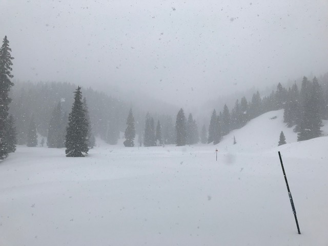
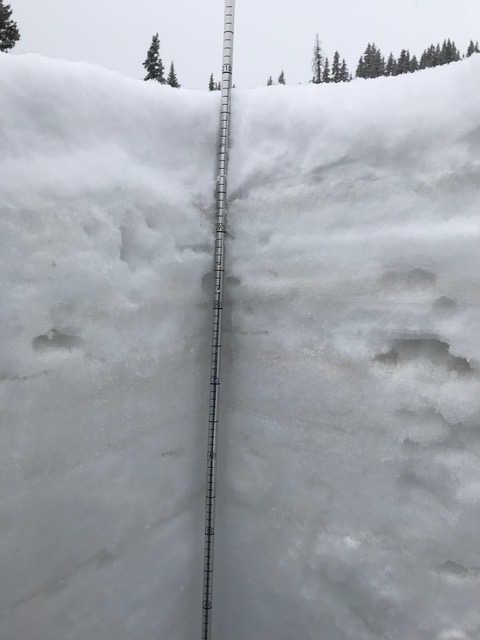
Below: Pictures of SASP on Monday, May 27.
Below: Wind rose of dust event #7 (D7).


